California · April 2016
The June Lake Loop is a road that connects several high-elevation lakes just south of the Tioga Pass entrance to Yosemite National Park.
Some great hikes in the John Muir and Ansel Adams Wilderness areas start at trailheads along the road.
The loop can be entered from US Hwy 395 at the north junction, near Grant Lake, or from the south, near June Lake.
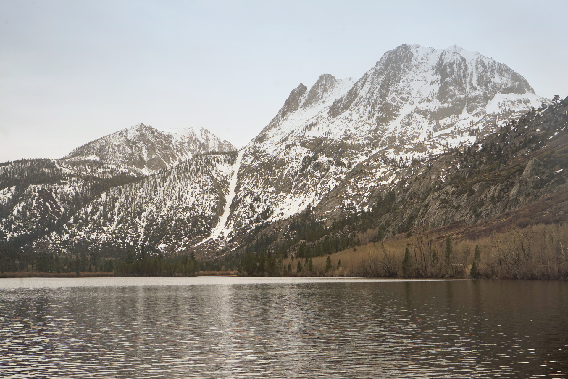
Two miles in from the south junction, you'll reach June Lake, and next to that, Gull Lake, where you can get a better look at Carson Peak to the southwest.
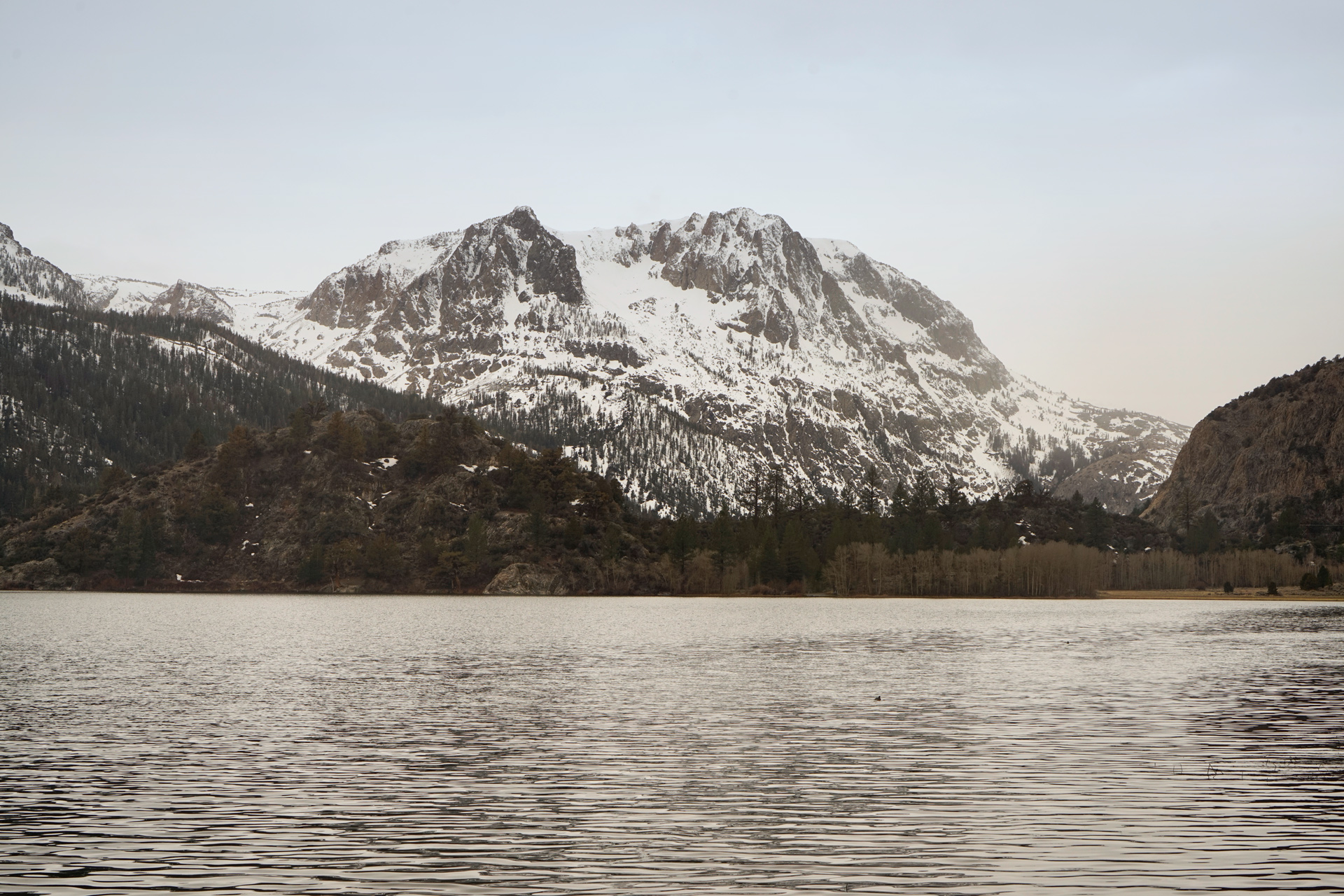
Gull Lake and Carson Peak: 37.777443, -119.080042
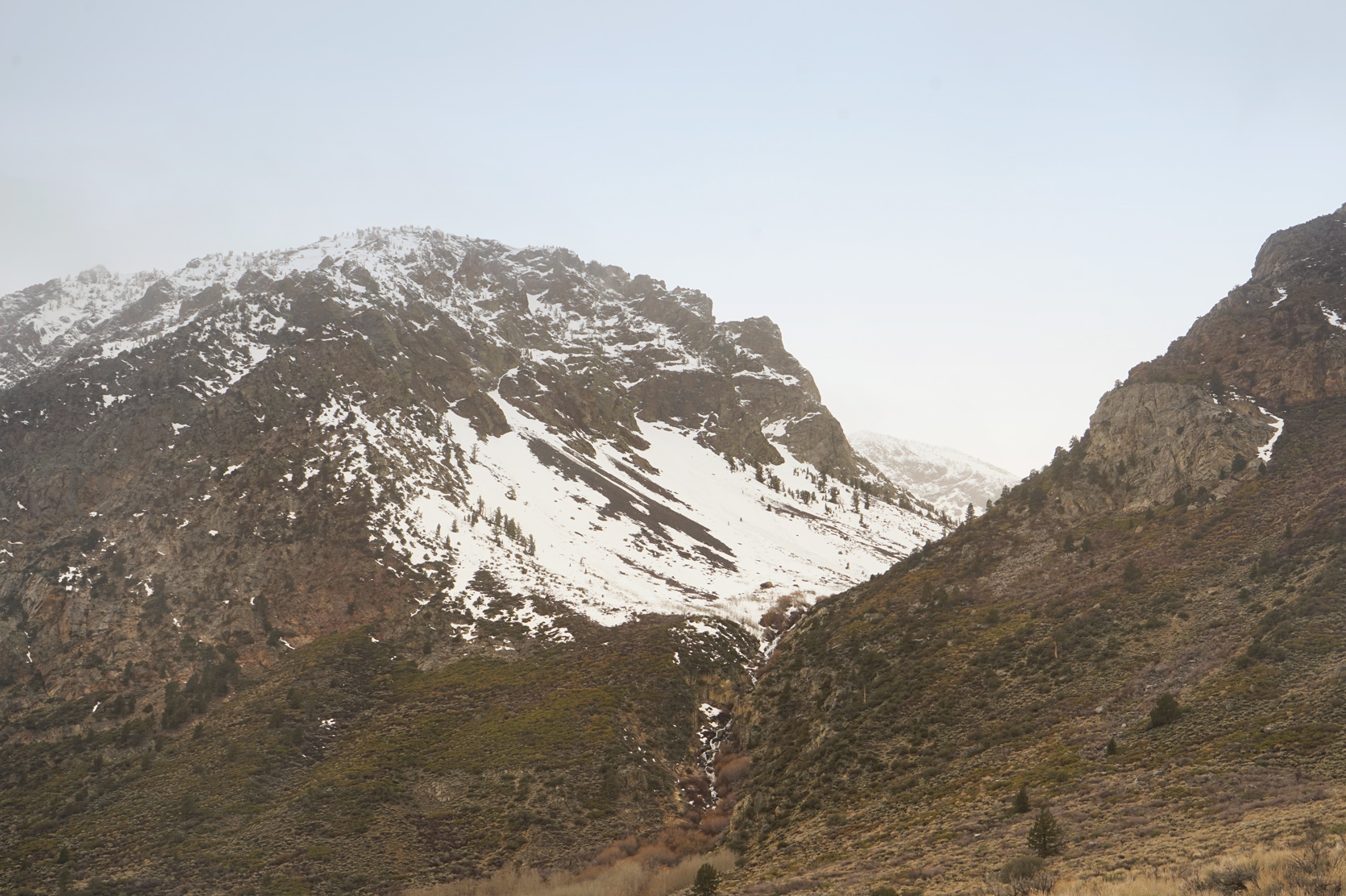
Further ahead is Silver Lake, and looking back is another perspective of Carson Peak.
Silver Lake and Carson Peak: 37.779544, -119.128664
North of the lake is the Rush Creek trailhead, where you can start a hike up to Gem Lake and deeper into the Ansel Adams Wilderness.
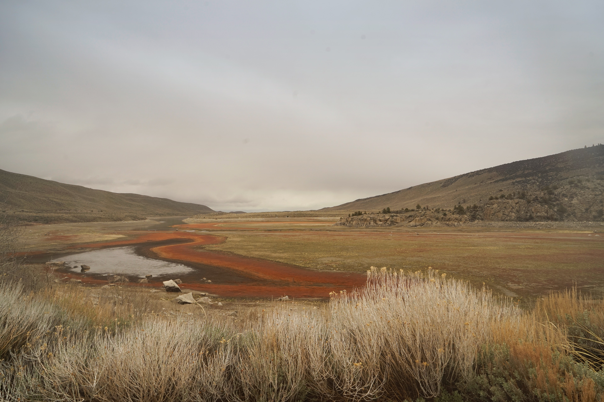
At the northern section of the loop is Grant Lake.
The depleted water level at the south end of the lake has left an interesting ring around it.

Directions
The June Lake Loop (CA-158) is located south of Mono Lake. You can enter the road from either the north or south junction with US Hwy 395.
1
June Lake: 37.790146, -119.065480
2
Gull Lake: 37.777443, -119.080042
3
Rush Creek Trailhead: 37.783148, -119.127879
4
Grant Lake: 37.832612, -119.121512

More Stories