California · June 2016
Hike Summary
Distance:
8.5 miles out and back
Total Elevation Gain:
650 ft
Starting Elevation:
250 ft
Highest Point:
600 ft
Hike Time:
4 - 5 hrs
Difficulty:
Moderate
Seasons:
All
Dogs:
Not Allowed
The Point Reyes National Seashore is one of the many great coastal features of California, and the hike to Alamere Falls is regarded as one of the best in the North Bay Area.
It is so popular that you may end up parking a mile or more from the trailhead on the weekend, as I did for this trip.
The hike starts at the Palomarin Trailhead, where Mesa Road ends in a parking area.
Overall the trail is very easy to follow, except for an unsigned split near Alamere Falls, and it is flat enough that you can run most of it.
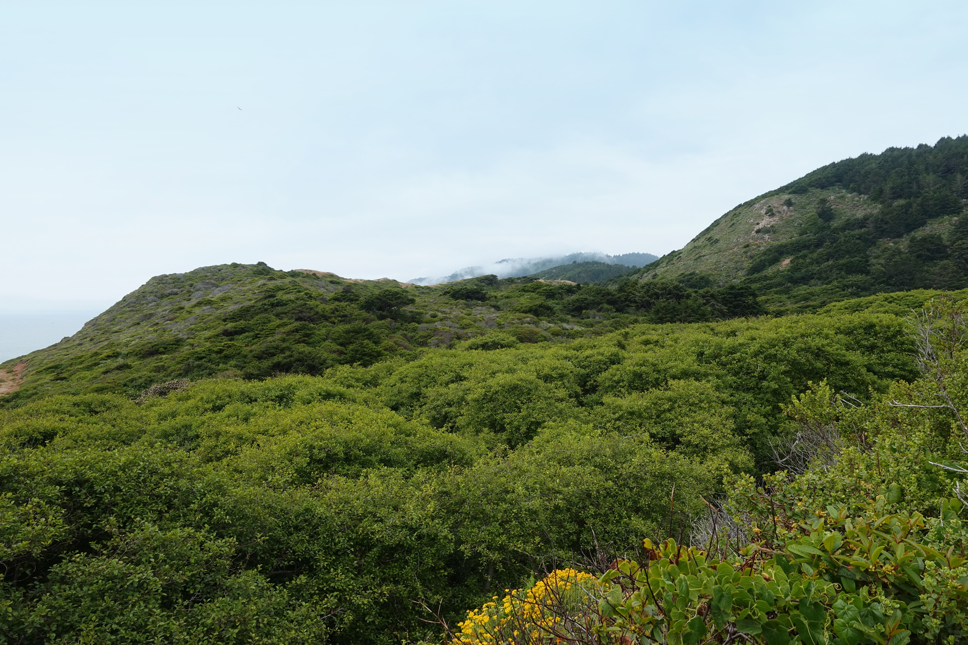
There is not much shade for the first half of the hike as you follow the Coast Trail, so a hat and sunscreen are essential items to pack.
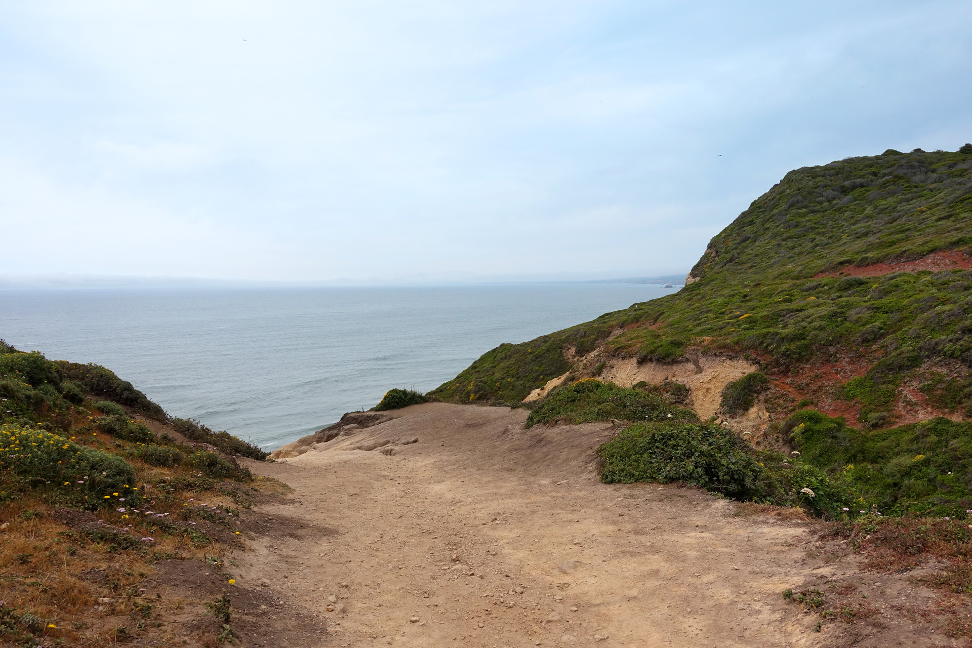
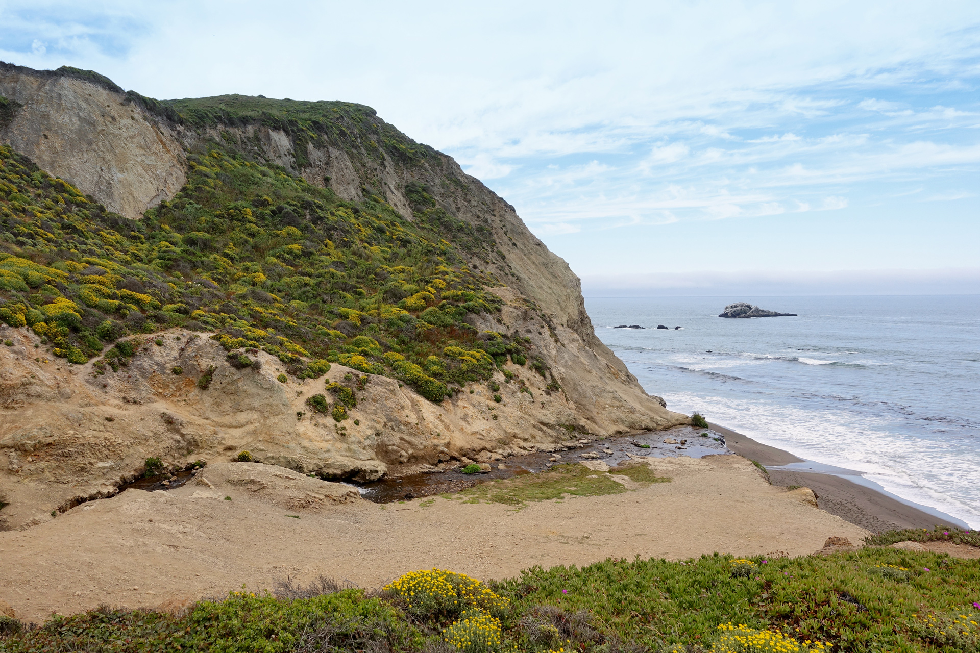
Views of the sea cliffs open up early, and they are always amazing.
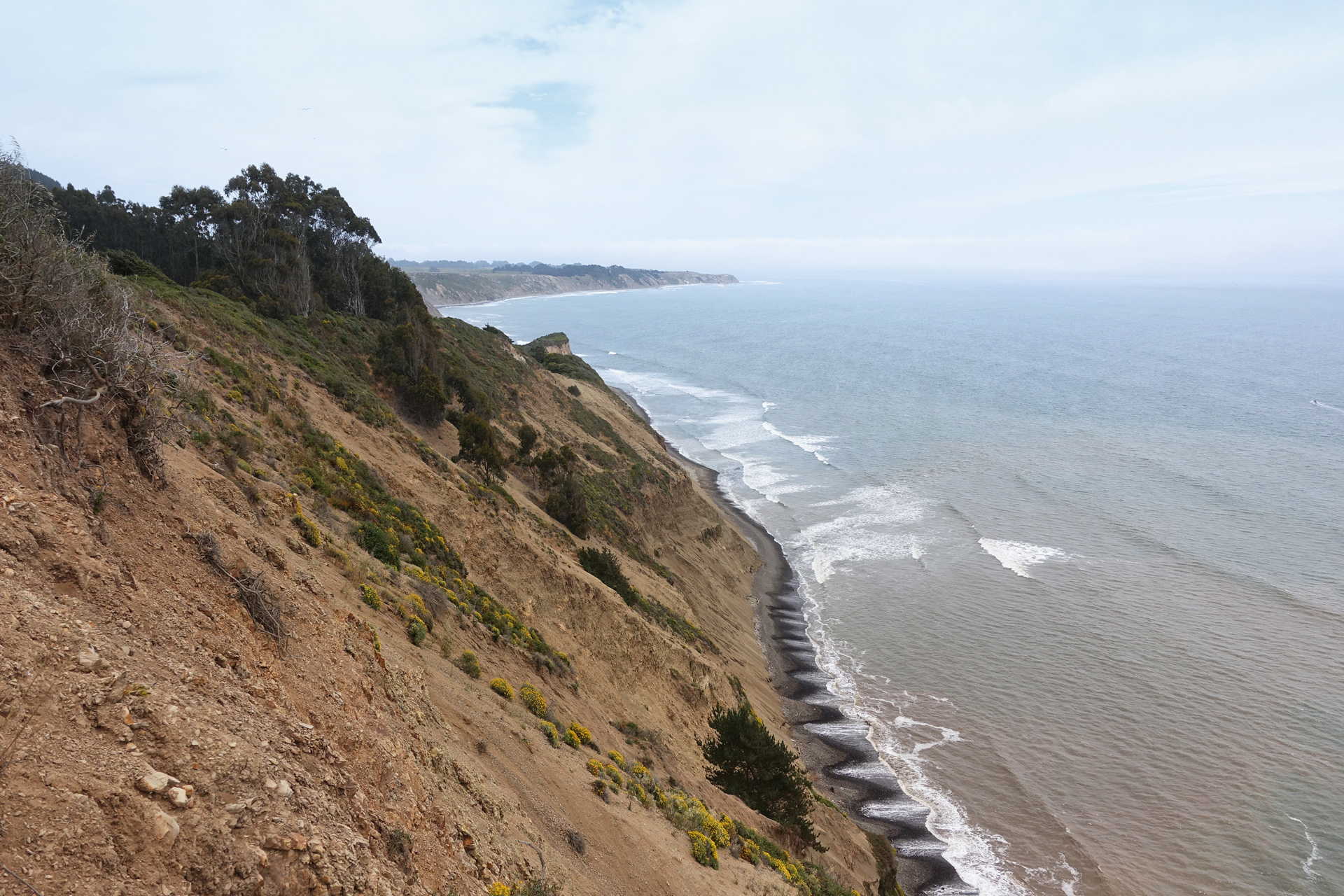
The Point Reyes National Shoreline, from the start of the trail
About 2 miles in, the path takes you under the cover of trees, which is a huge relief on hot days.
Along the way, you will come across Bass Lake, where some people go swimming, and further along, Pelican Lake, which is smaller but in my opinion, more picturesque.
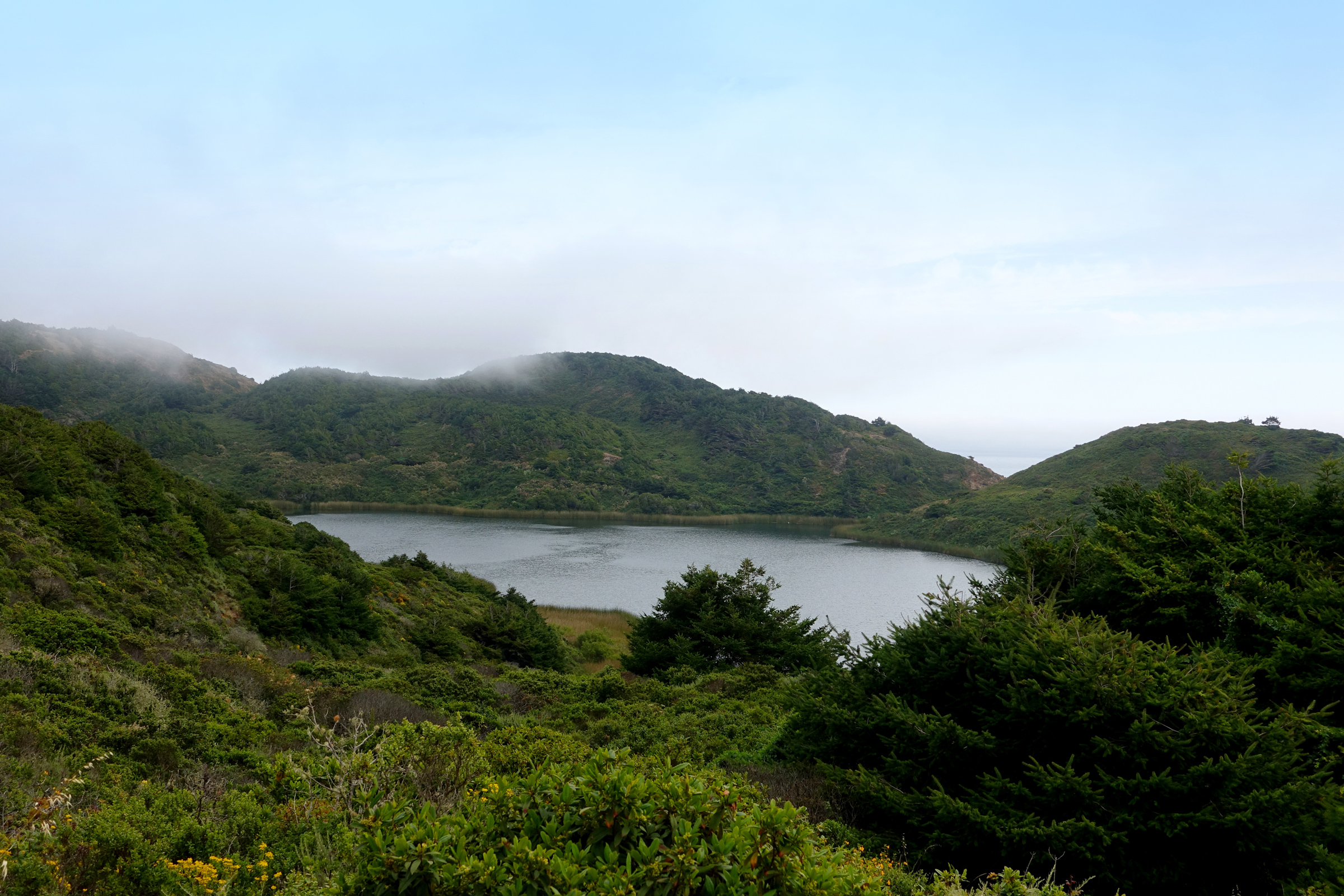
Pelican Lake
Passing Pelican Lake, there are two tricky parts of the hike.
Just under the 4 mile mark, there is a small opening into the shrubs on the left.
If there used to be a sign to the waterfall, someone removed it.
Fortunately, another hiker had stacked some small rocks next to the opening and spelled out the word “FALLS” with small tree branches.
Almost everyone going this way missed the split or believed it was a hoax and continued along the Coast Trail.
Going the correct way, you will be working your way through some dense foliage before encountering a more obvious path toward the waterfall.
The second difficult part is making your way down to the lower section of Alamere Falls.
This will require some careful scrambling down some steep and narrow sections of loose rock.
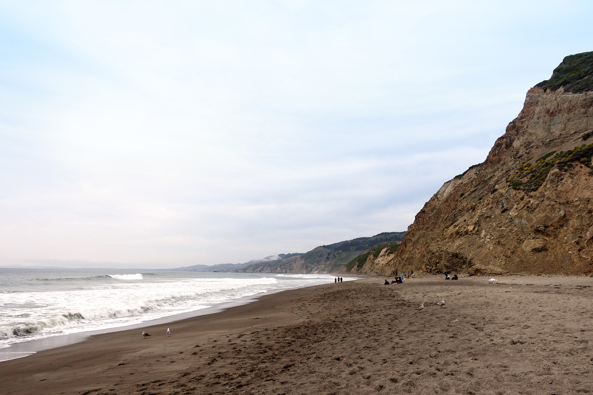
There are a few smaller waterfalls on the way down, and once you make it to the beach, you will see the main attraction.
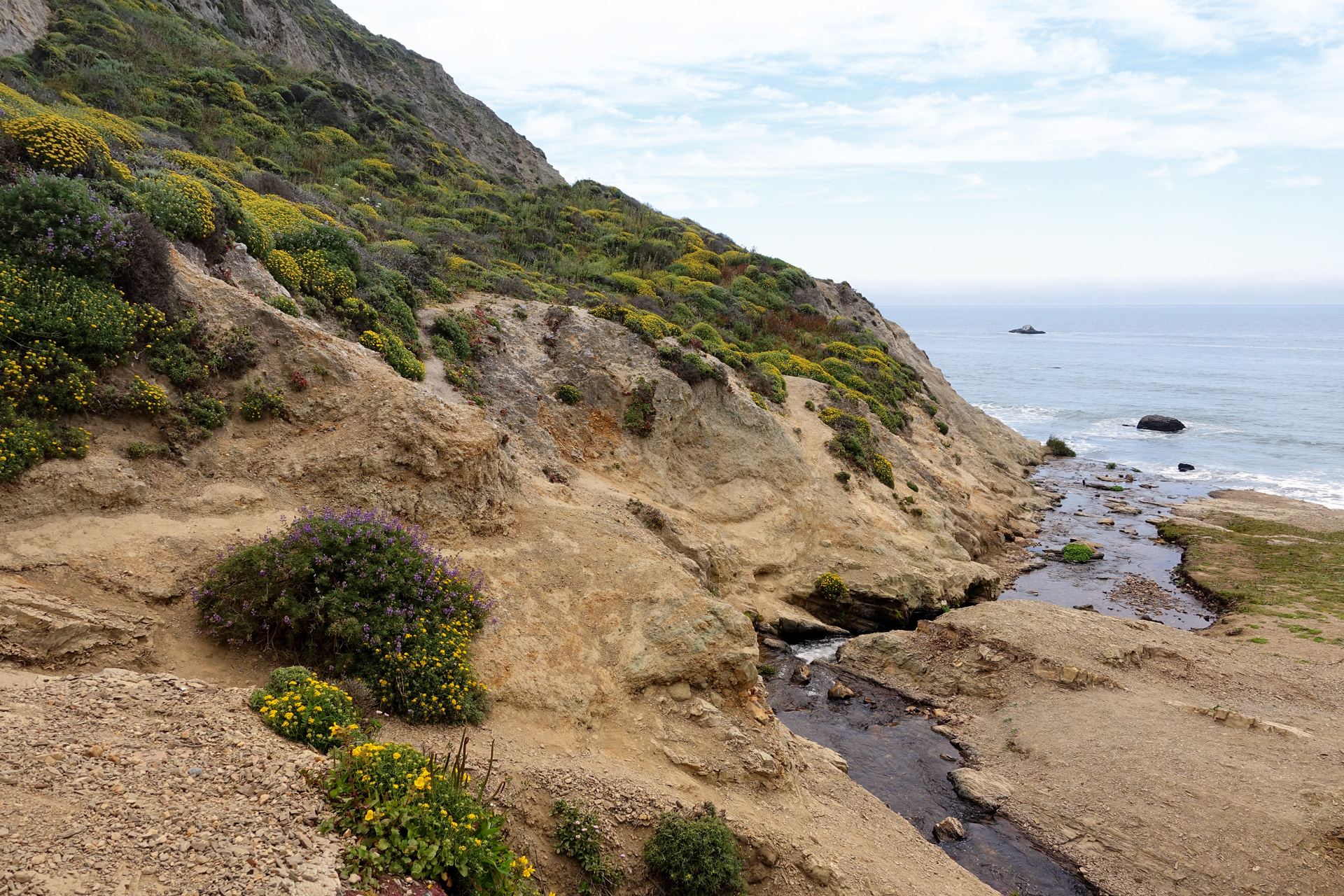

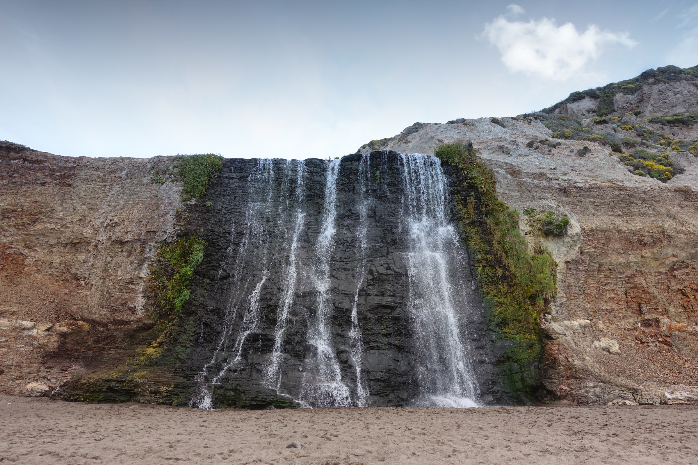
Lower section of Alamere Falls
Directions
The Palomarin trailhead is located northwest of Stinson Beach. Heading north on CA-1, take Olema Bolinas Road south, then head west on Mesa Road to the very end, where the restrooms are located.
1
Palomarin Trailhead: 37.934360, -122.747073
2
Alamere Falls: 37.953649, -122.783529

More Stories