Washington · August 2016 & July 2018
Hike Summary
Distance:
20 miles one way
Total Elevation Gain:
5,800 ft
Total Elevation Loss:
7,400 ft
Starting Elevation:
3,400 ft
Highest Point:
7,800 ft
Hike Time:
16 - 17 hrs
Difficulty:
Extremely Difficult
Seasons:
July - September
Dogs:
Not Allowed
Pass Required (Day Hike):
The Enchantments are one of the most beautiful and unspoiled places in Washington State.
Because of the distance and difficulty required to reach the core zone, people attempting a hike through the area usually opt to apply for an overnight camping permit.
These are issued by a lottery system, however, and they are hard to come by.
Strong day hikers can focus on the Upper Enchantments via Aasgard Pass or blast through the upper and lower zones on a one-way day hike.
For the latter option, I would recommend bringing two cars and booking a place to stay nearby on the nights before and after the hike.
Driving the two cars from Leavenworth, you can leave the first car at the Snow Lakes Trailhead, then continue to the Stuart Lakes Trailhead to park the second car.
Entering the Enchantments this way will save you 2,600 ft of additional elevation gain, since the Stuart Lakes Trailhead is higher in elevation.
It will also allow you to complete the most challenging parts of the hike while there is plenty of daylight.
The long, boring stretch from Nada Lake to the Snow Lakes Trailhead can be done in the waning light or with headlamps.
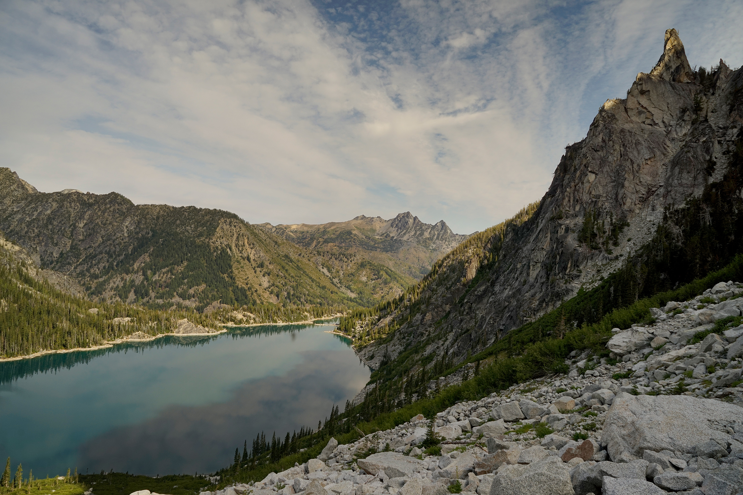
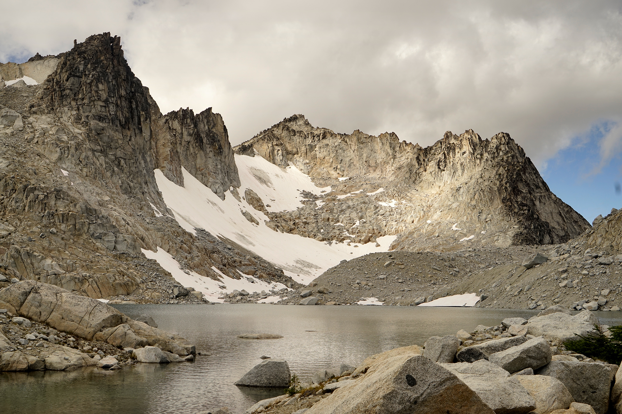
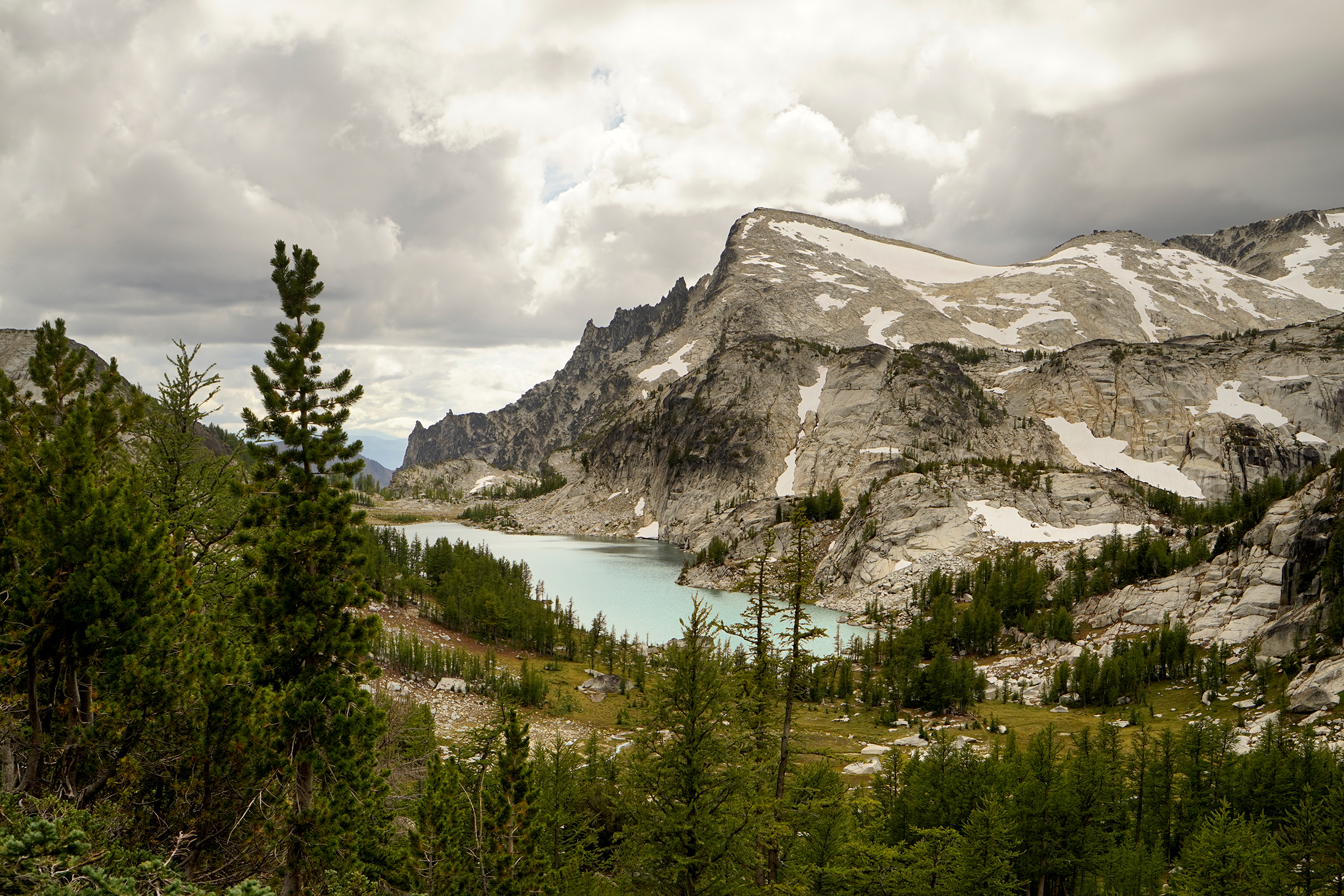
Colchuck Lake
Going solo, my original plan was to circle Colchuck Lake, summit Aasgard Pass, explore the Upper Enchantments, then turn around and head back to my car.
This would have been a 14-mile roundtrip hike.
Sunrise was at 6 a.m., and I had intended to reach Colchuck Lake just after first light.
By the time I parked my car at the Stuart Lake Trailhead, I was already an hour behind schedule.
Starting late, however, turned out to be a fortunate thing.
I met two hikers in the car lot attempting the single-day through-hike of the Enchantments.
They had another car at the Snow Lakes Trailhead and offered to drive me back to my car after the hike.
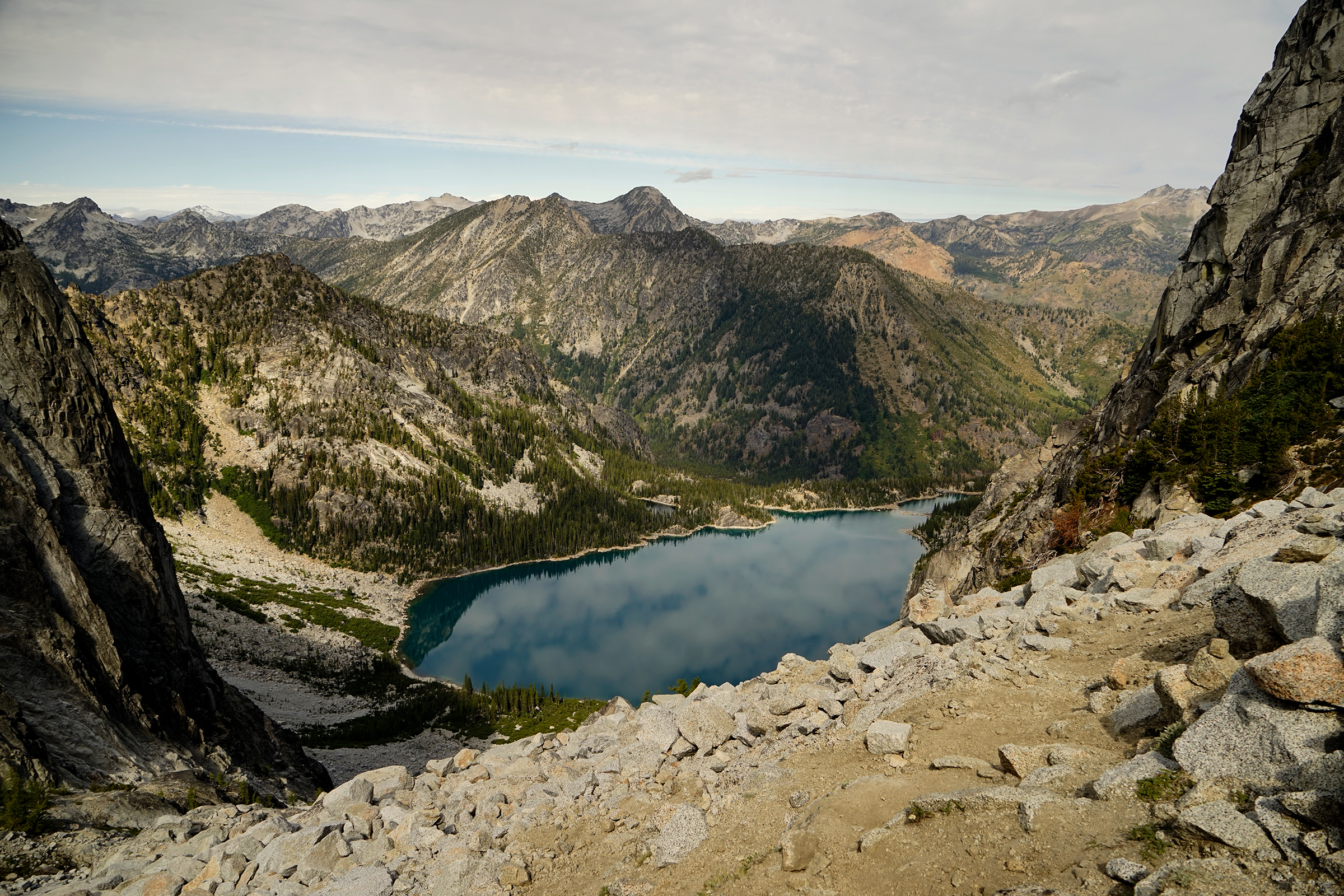
90 minutes after starting, we reached Colchuck Lake as the sun was starting to graze the top of the mountains.
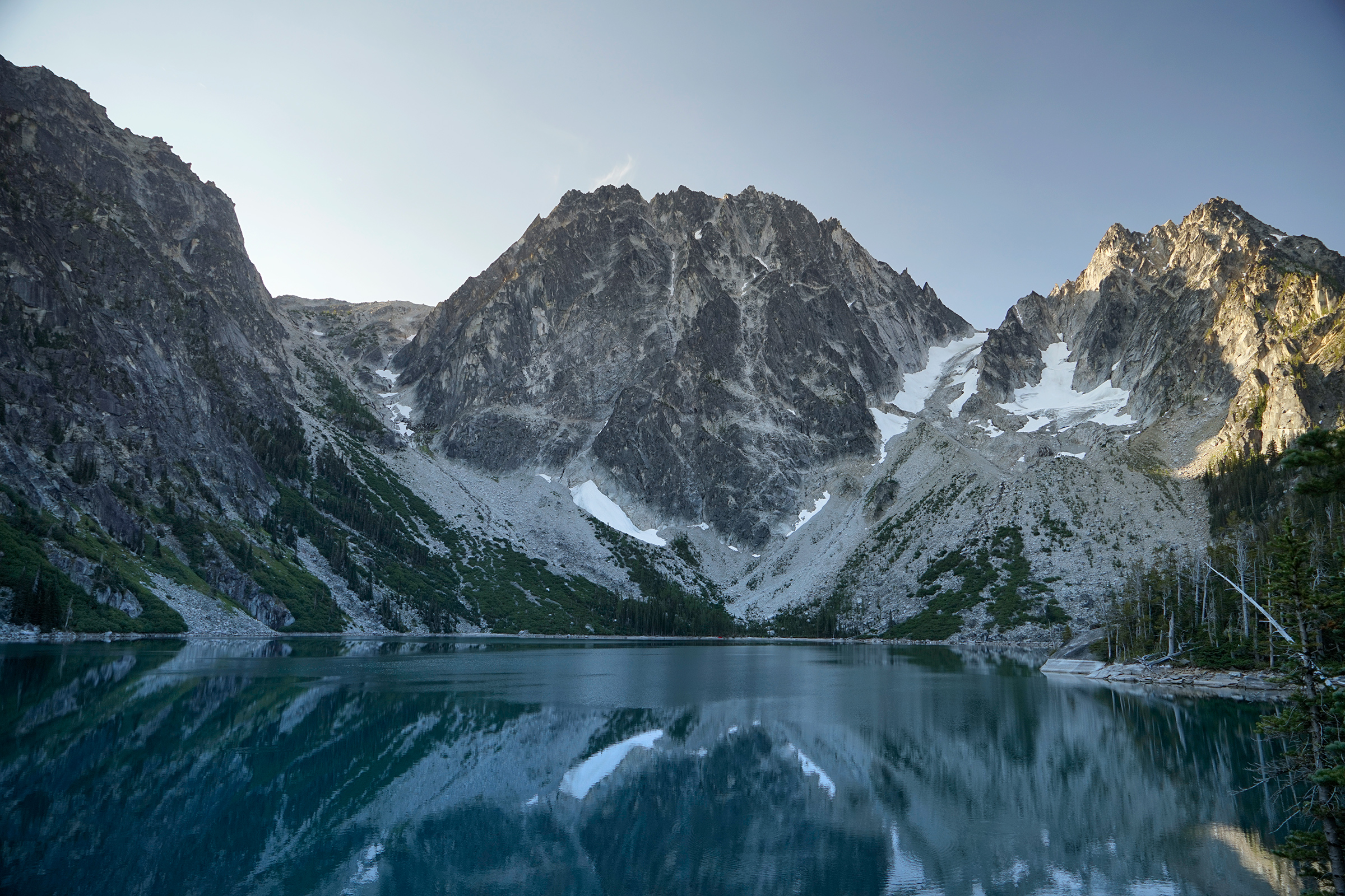
After taking a quick break, we hurried over to the boulder field at the far end of the lake.
Looking back where we entered the lake boundary, I was stunned by this view of Colchuck Lake and wondered why I had not seen pictures from this perspective before.
This part of the hike required a lot of rock-hopping, and the path forward was not always clear.
My thighs were already burning, and we had not even started the ascent of Aasgard Pass yet.
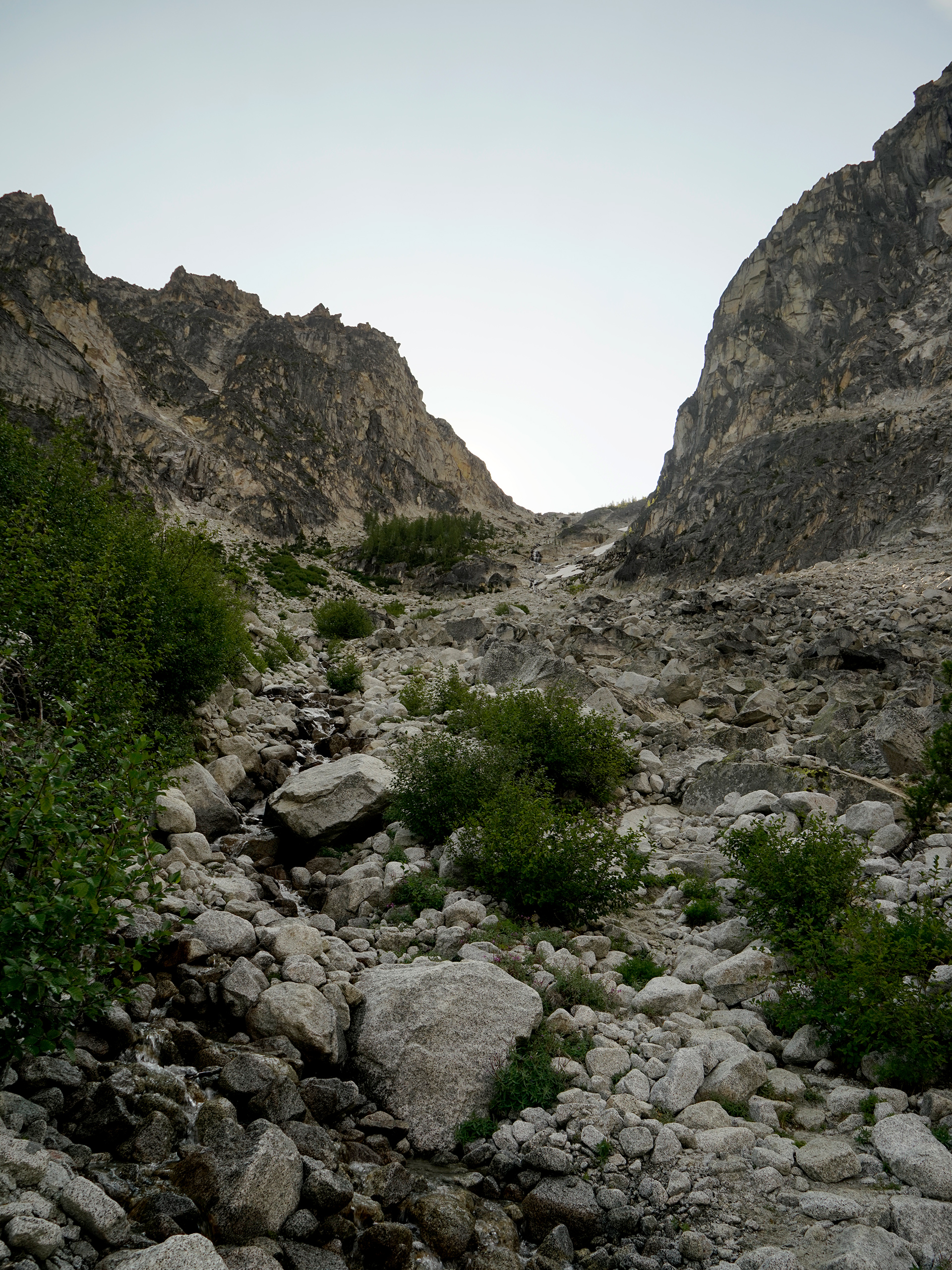
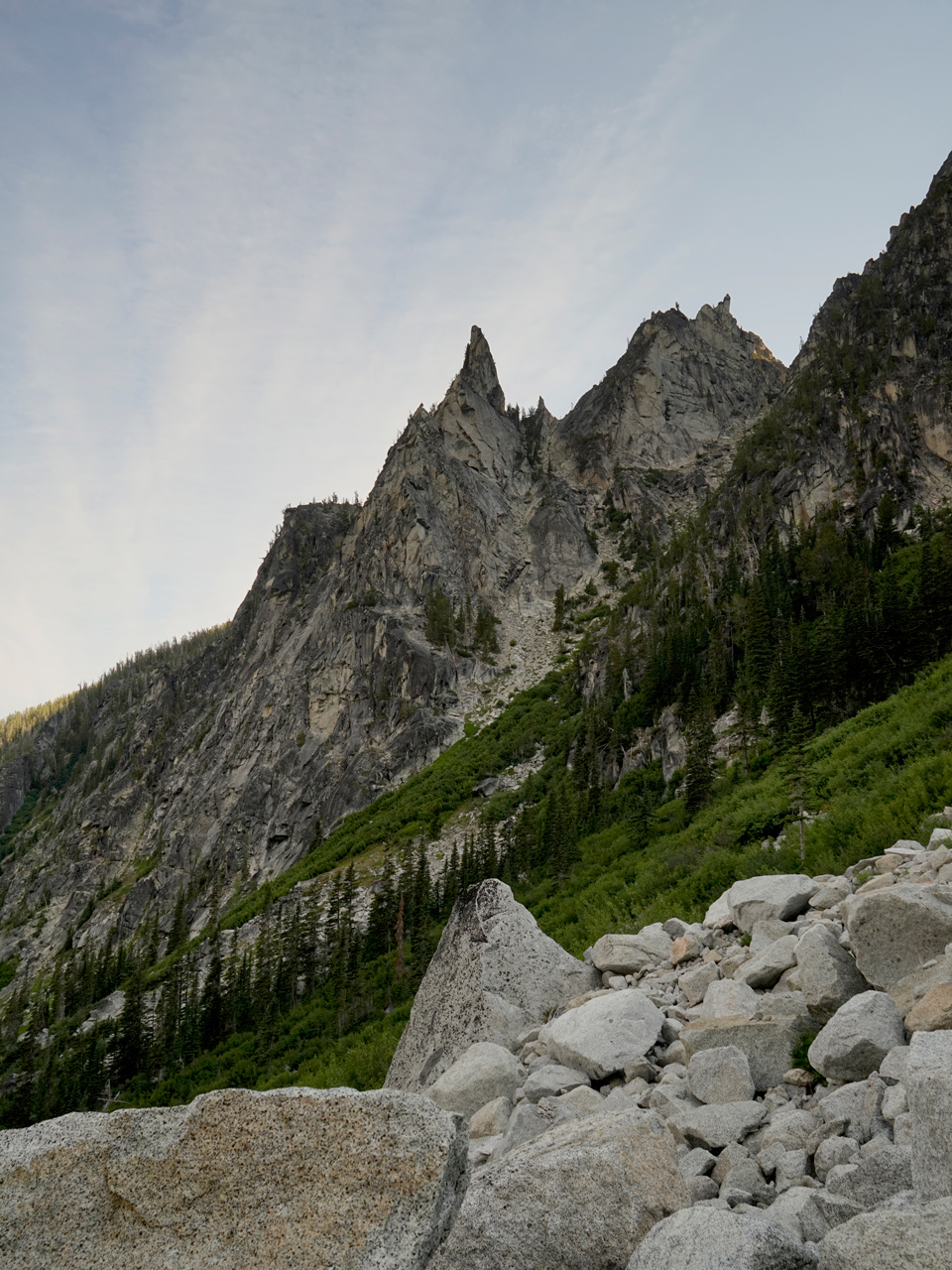
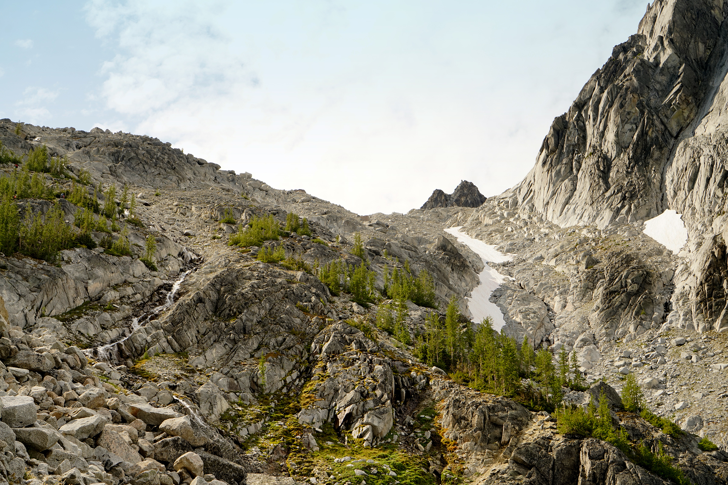
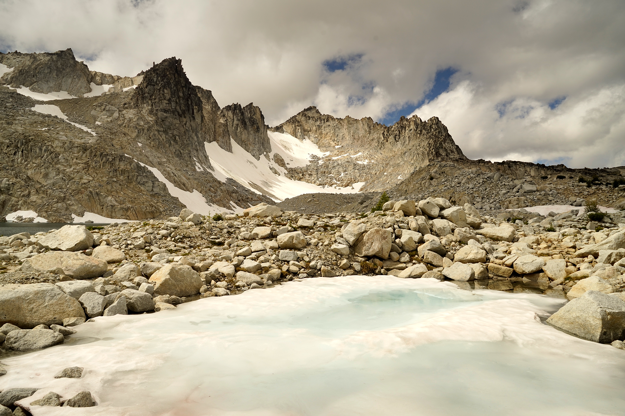
Aasgard Pass
To climb Aasgard Pass requires about 2,000 vertical feet of gain in less than a mile of horizontal progress.
At this point, you will be racing toward the sun and wanting to summit before noon in order to avoid the worst exposure.
Keep an eye out for the cairns to guide you on the way up.
Generally speaking, you will be staying to the left of the stream running down the Pass.
It took us about two hours to ascend Aasgard Pass from the bottom.
This is with a minimal amount of water and gear stuffed into small day-packs.
With a full backcountry kit, it might have taken us twice as long to complete this section of the hike.
From the bottom looking up Aasgard Pass
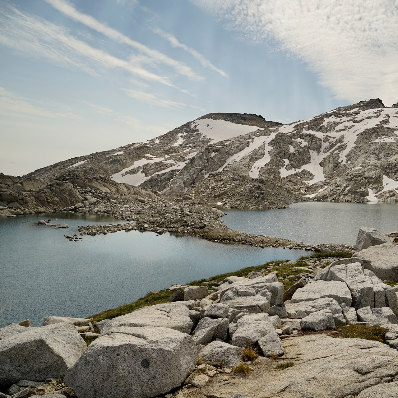
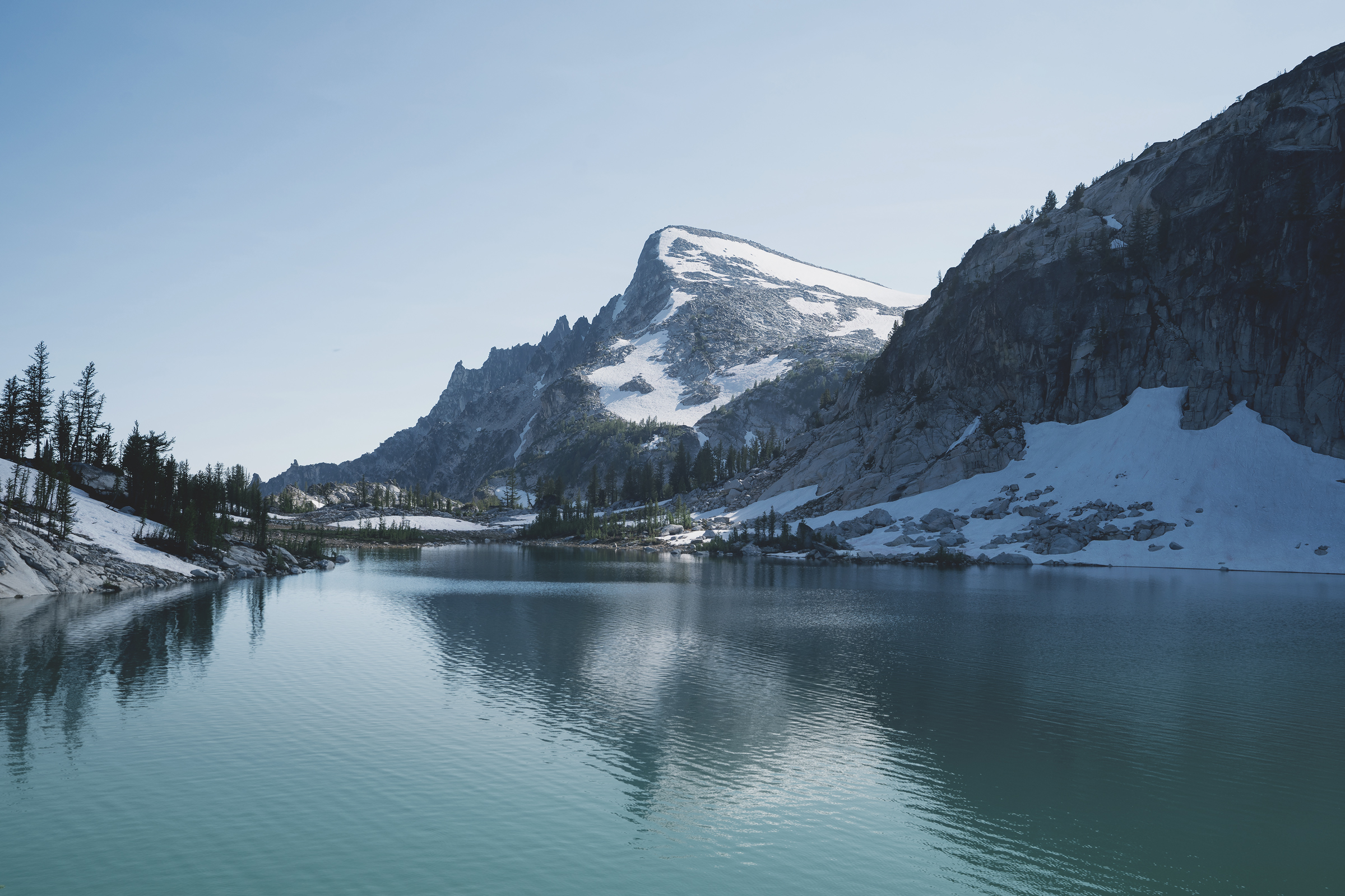
Colchuck Lake, from halfway up Aasgard Pass
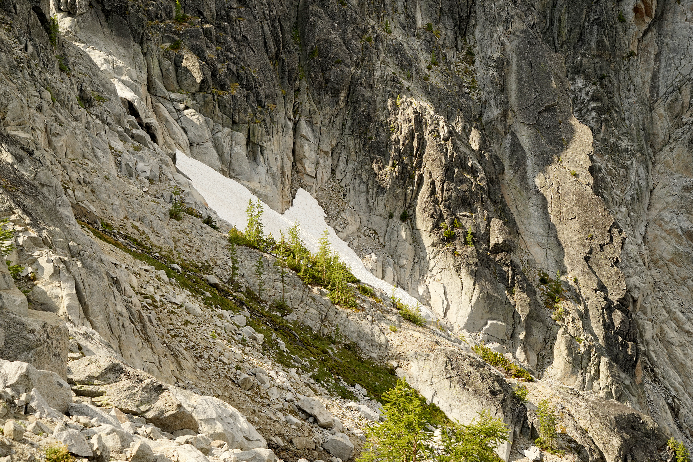
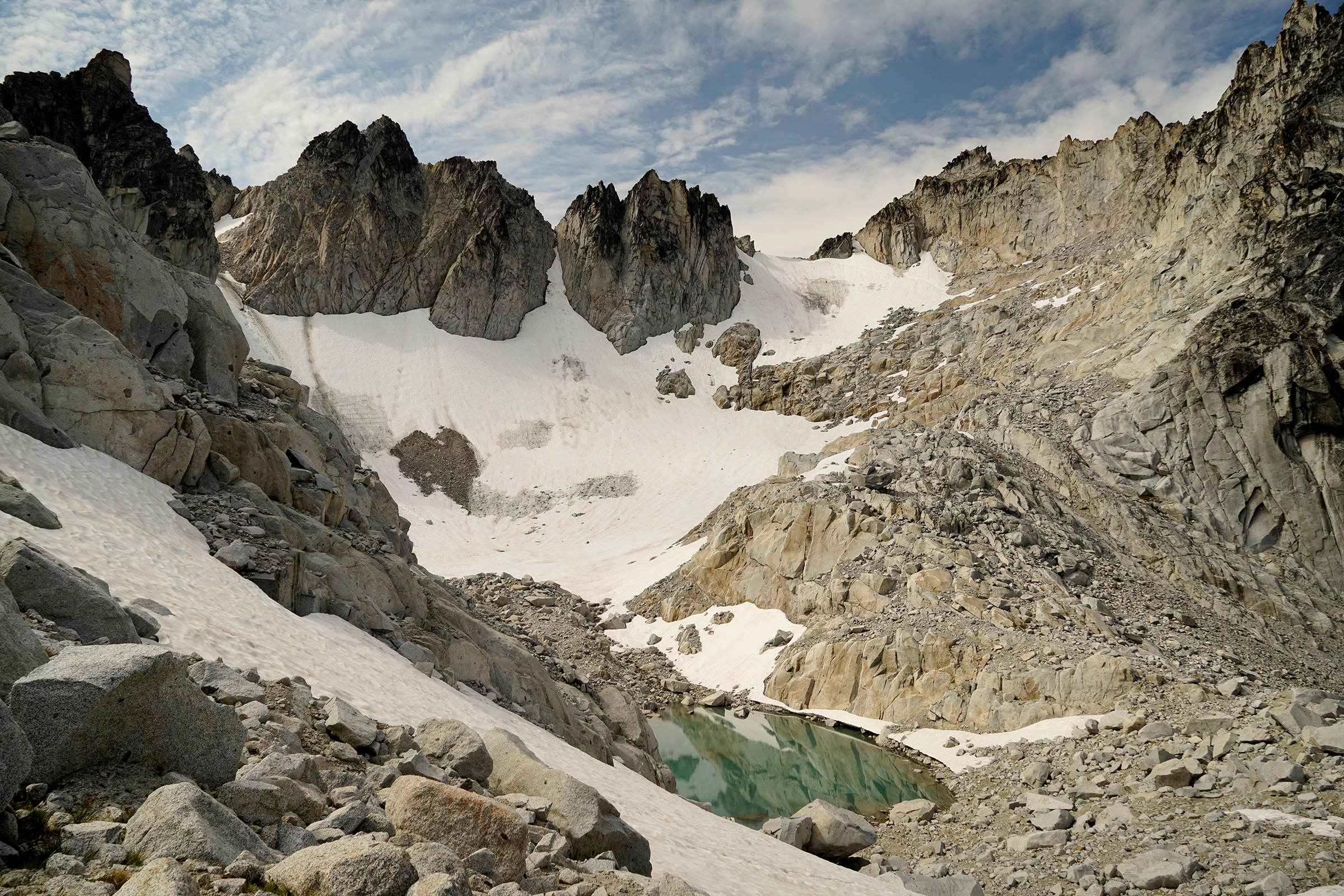
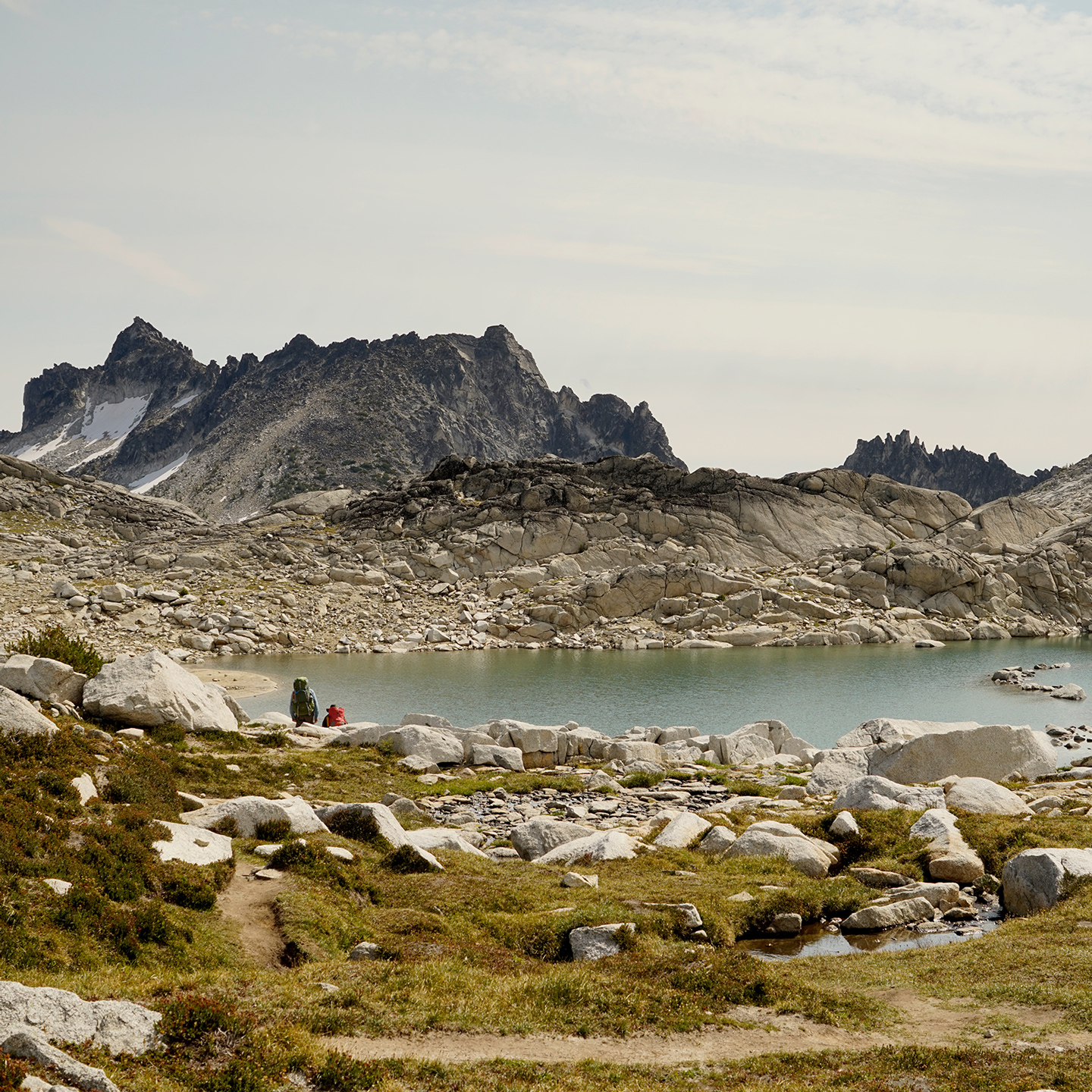
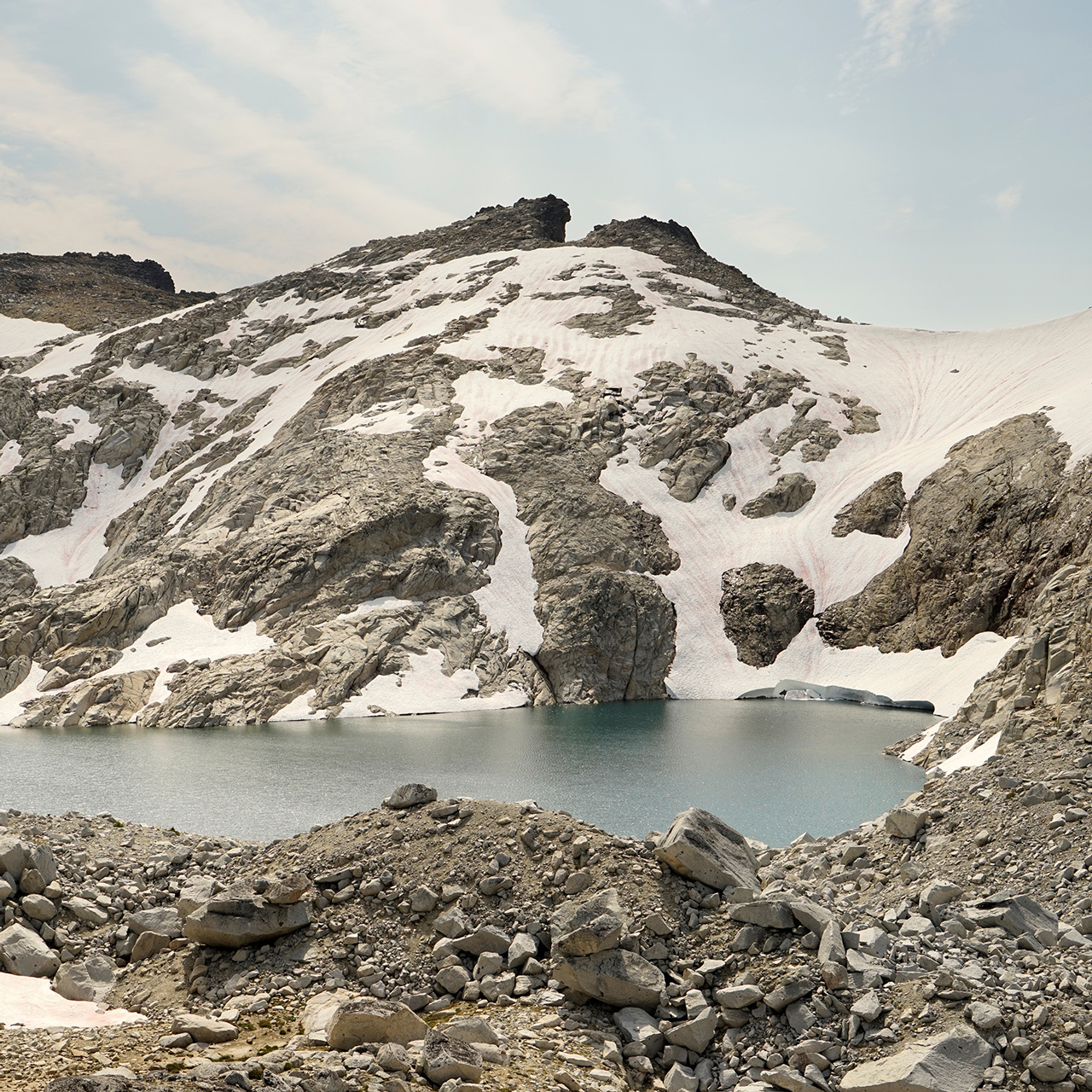
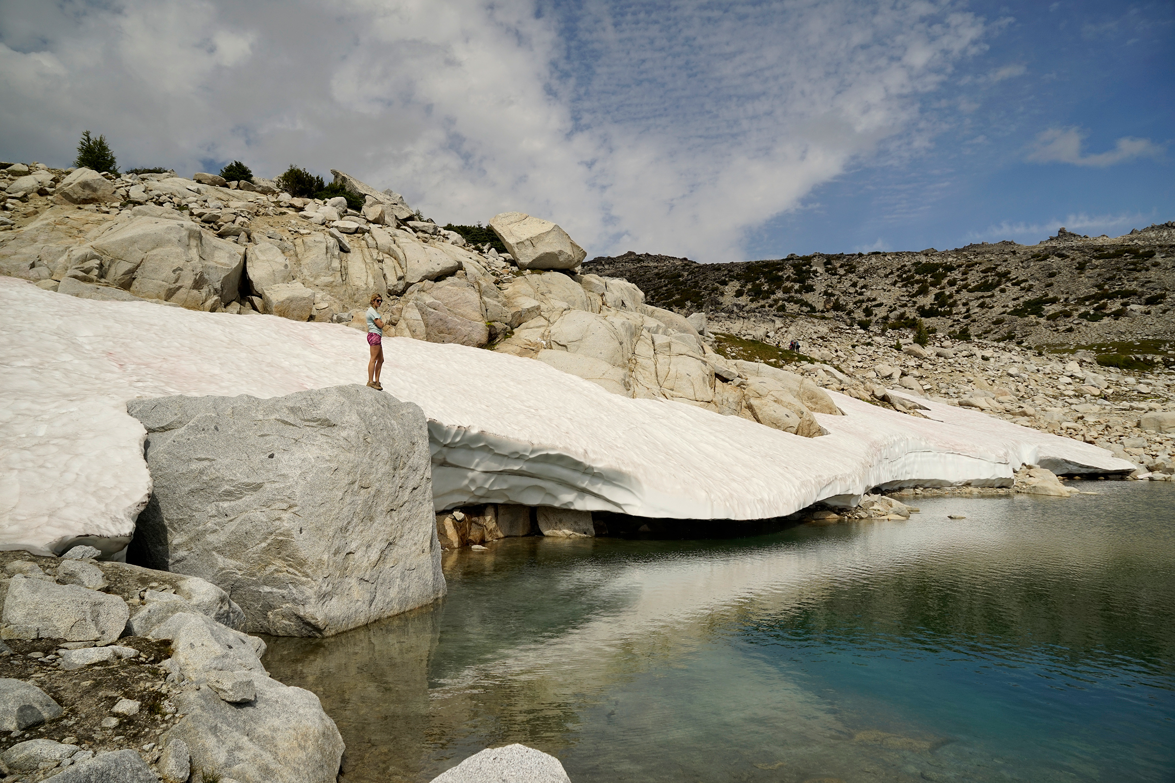
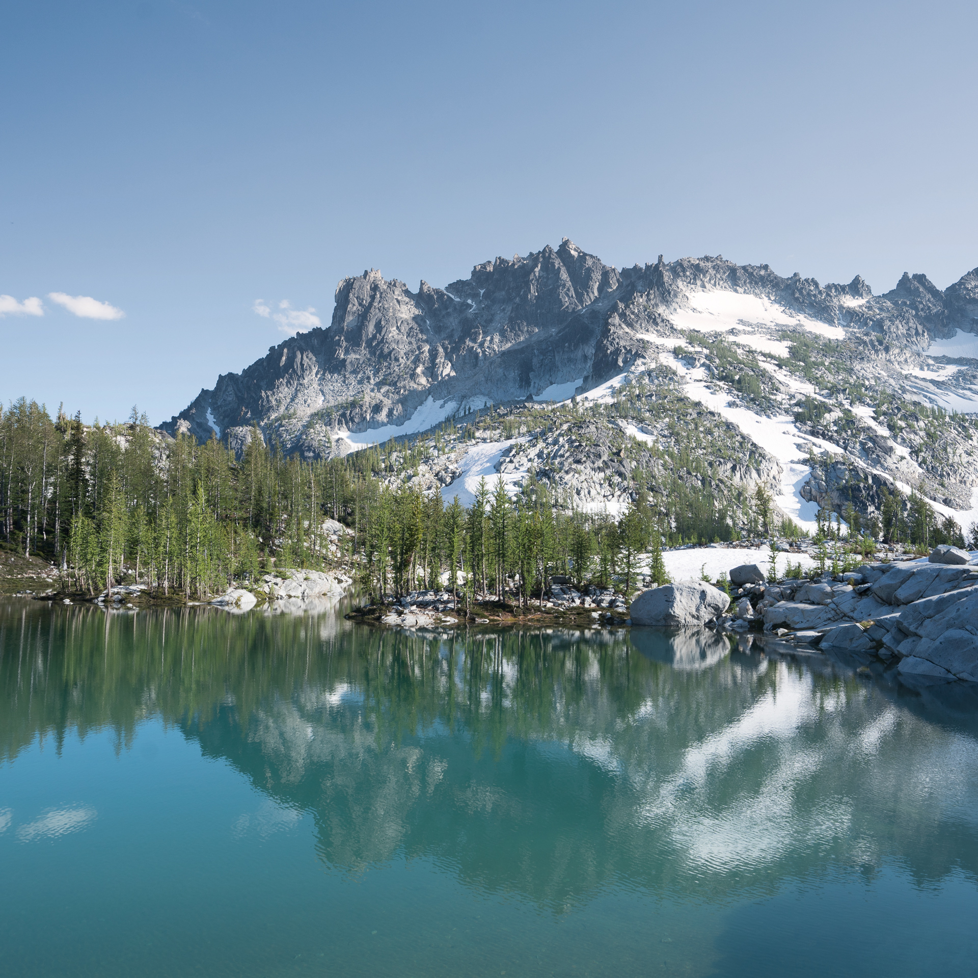
A small glacial pond near the top of Aasgard Pass
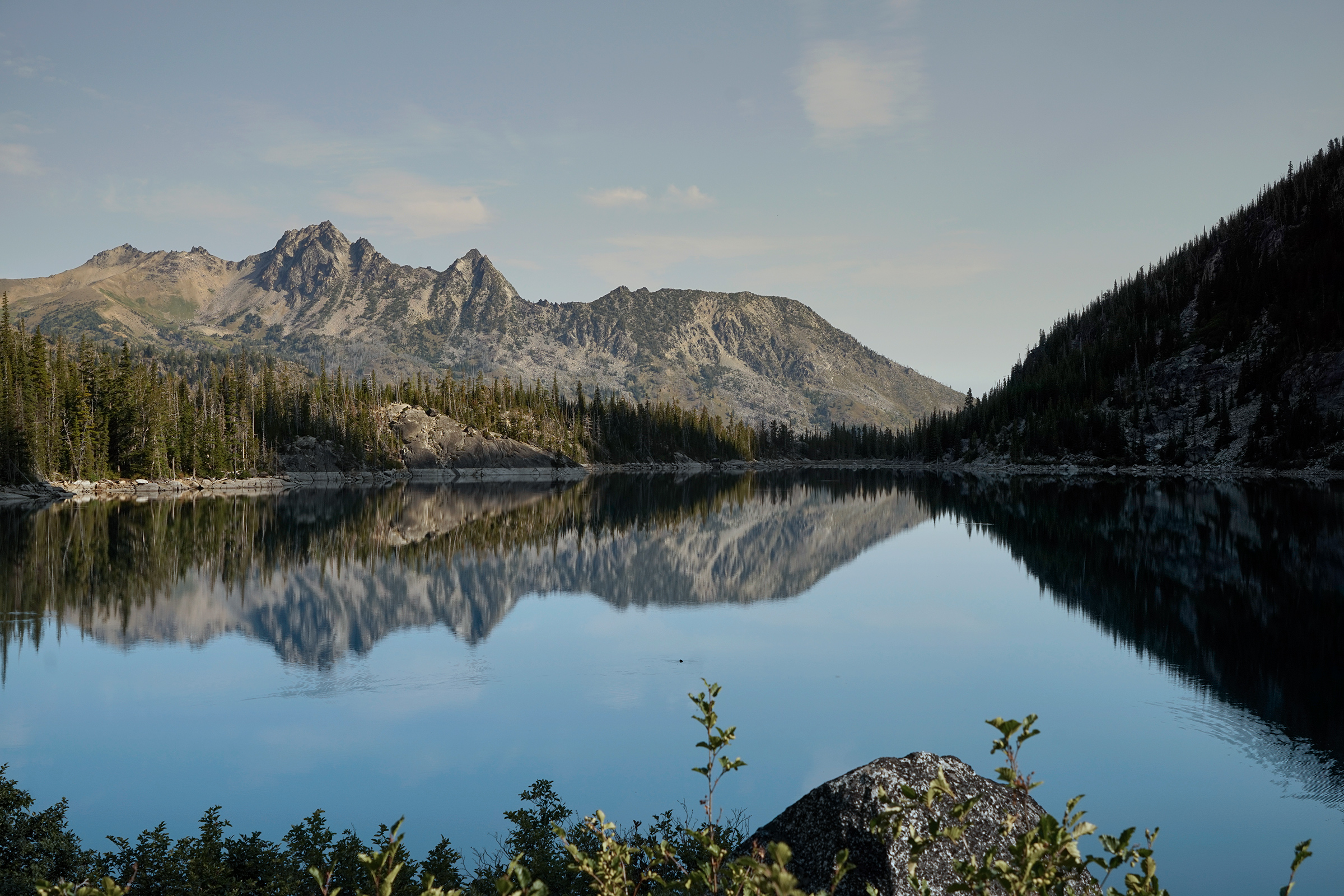
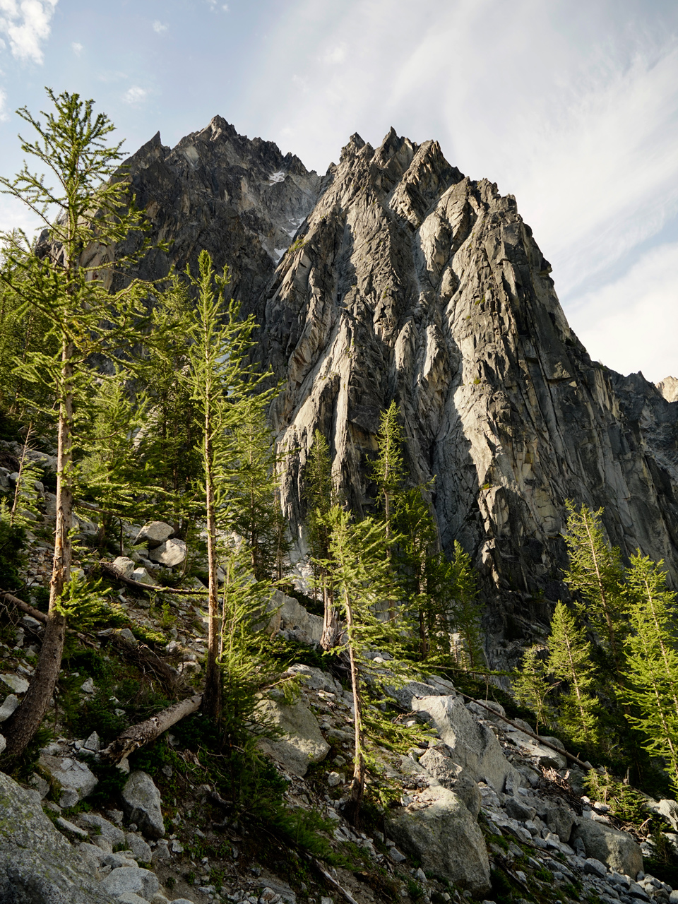
Core Enchantments
The landscape levels out once you reach the top of Aasgard Pass, and most of the rest of the trip is down hill.
Your forward path to the Lower Enchantments will be fairly clear if you are paying attention to the cairns along the way.
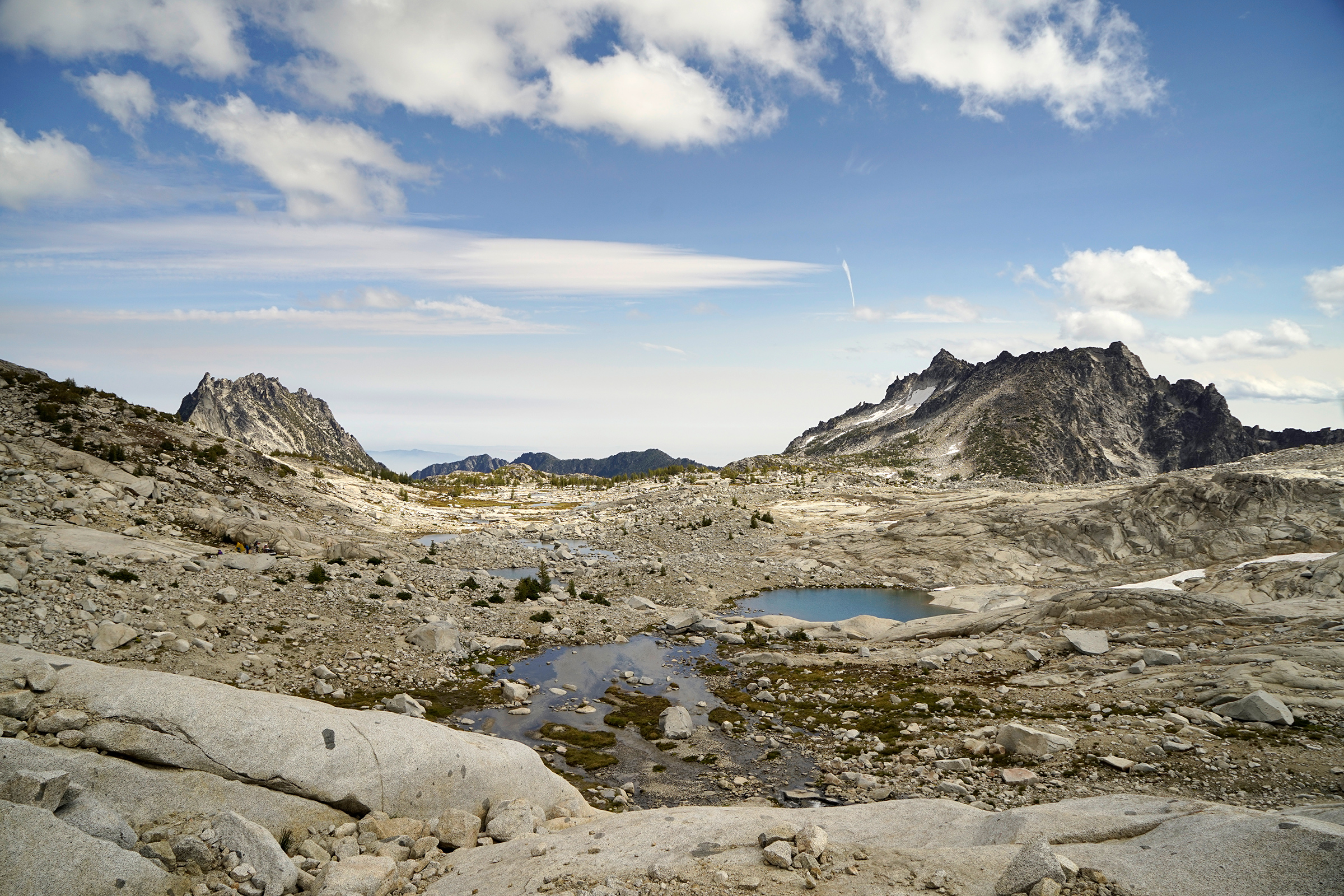

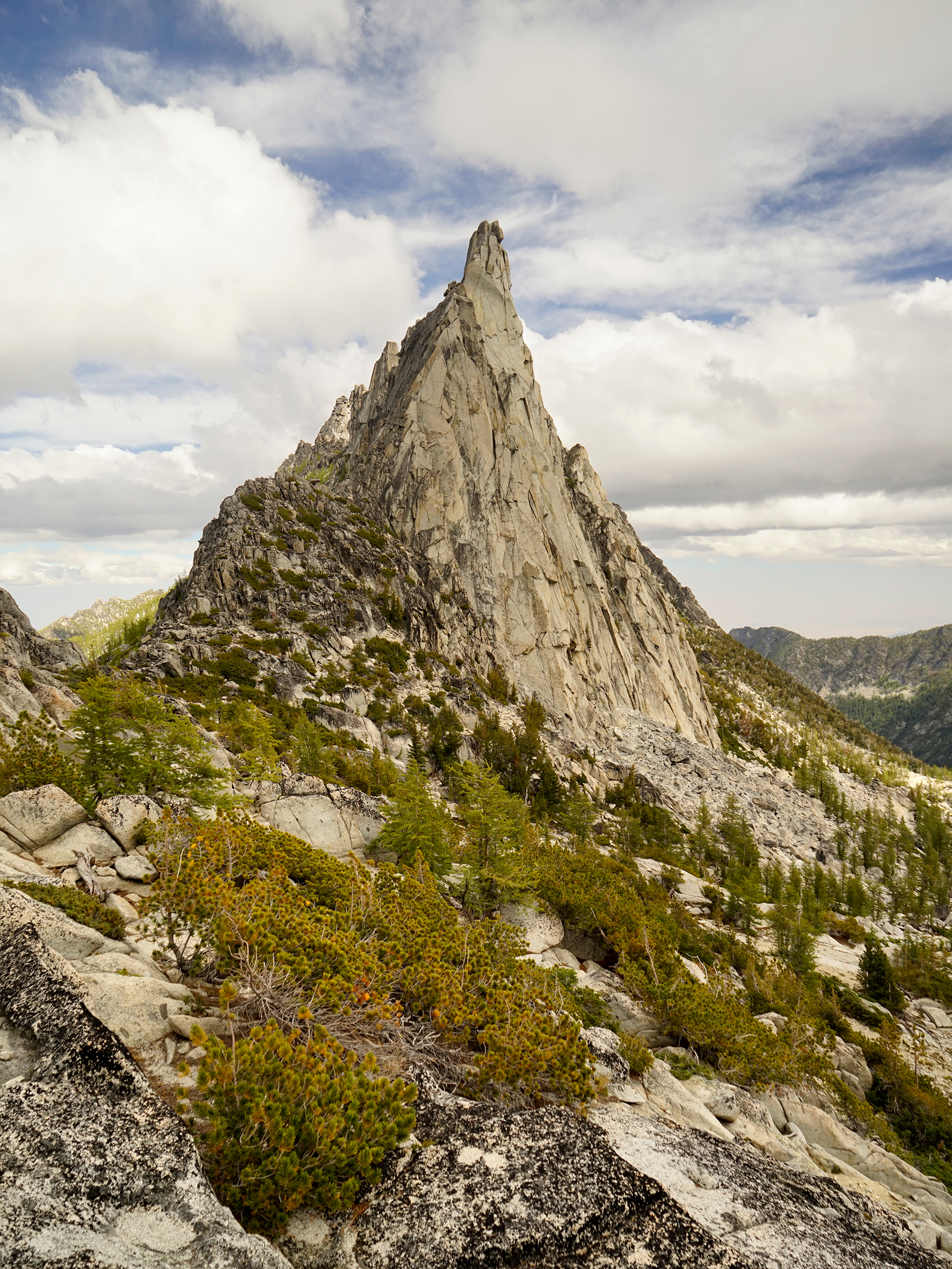
Little Annapurna
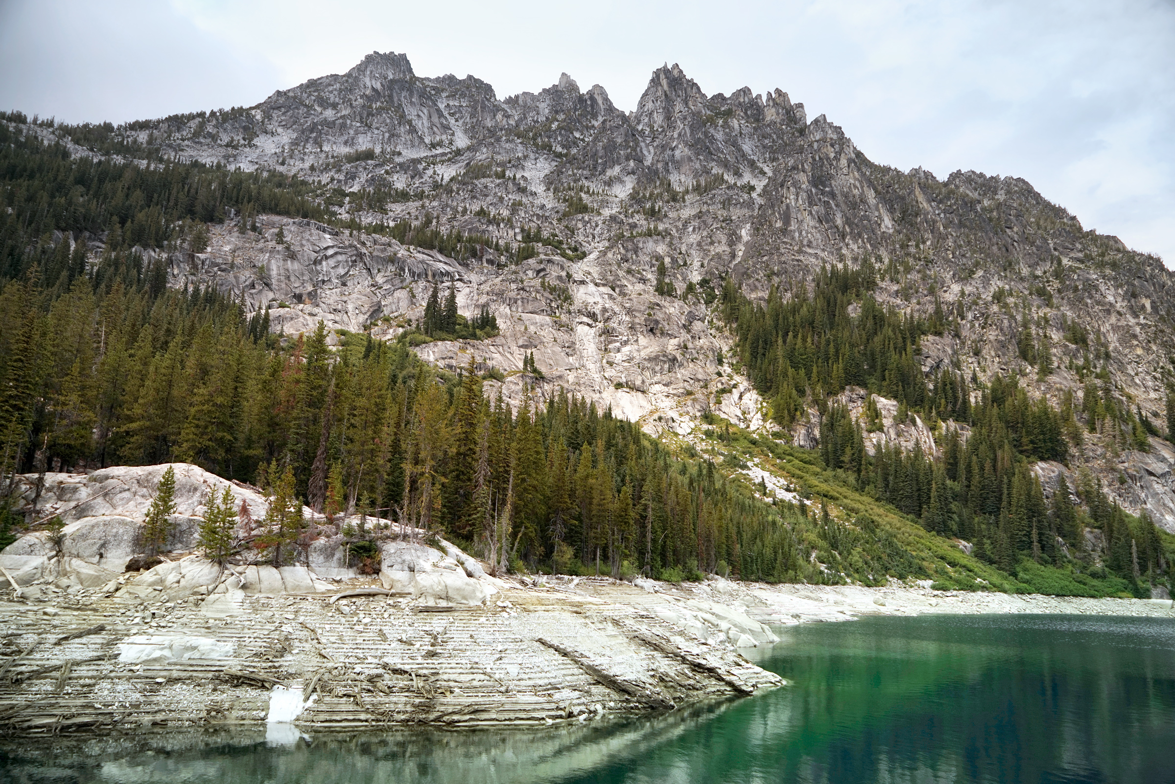
Lake Vivian
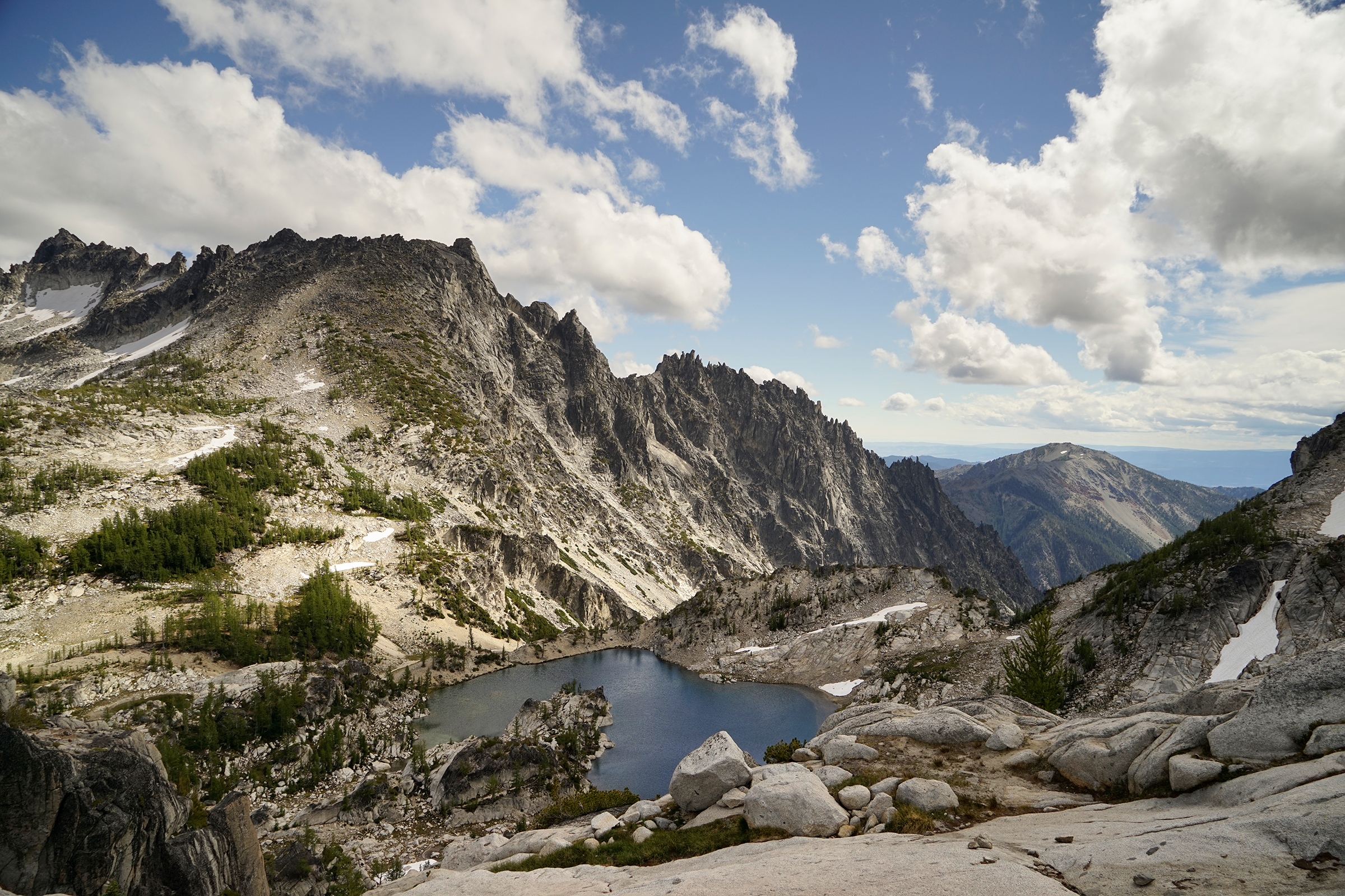
Gnome Tarn and Prusik Pass
The shot of Prusik Peak behind Gnome Tarn is one of the most iconic images of the Enchantments.
Getting to Gnome Tarn requires an extra mile of hiking from the main route, and the path to it is not immediately clear.
If you follow the most obvious detour from Perfection Lake, you will end up at Prusik Pass, not Gnome Tarn.
Using a GPS device will help guide you to Gnome Tarn.
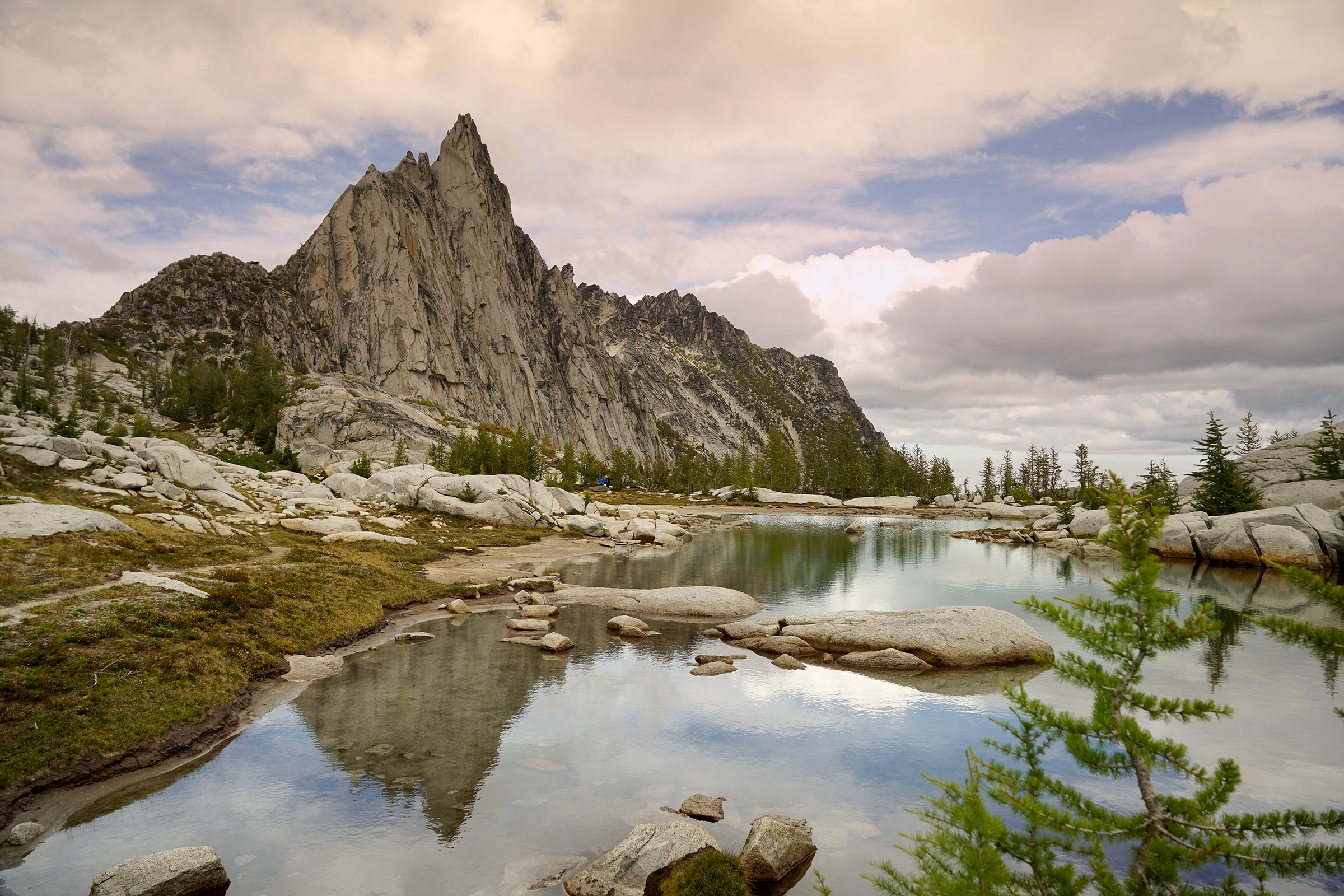
A view from Prusik Pass
The Snow Lakes Zone
There are many steep downward sections of the hike down to Snow Lakes that can be treacherous in the dark.
Even with headlamps, it is advisable to reach Nada Lake before sunset if you can.
Upper Snow Lake
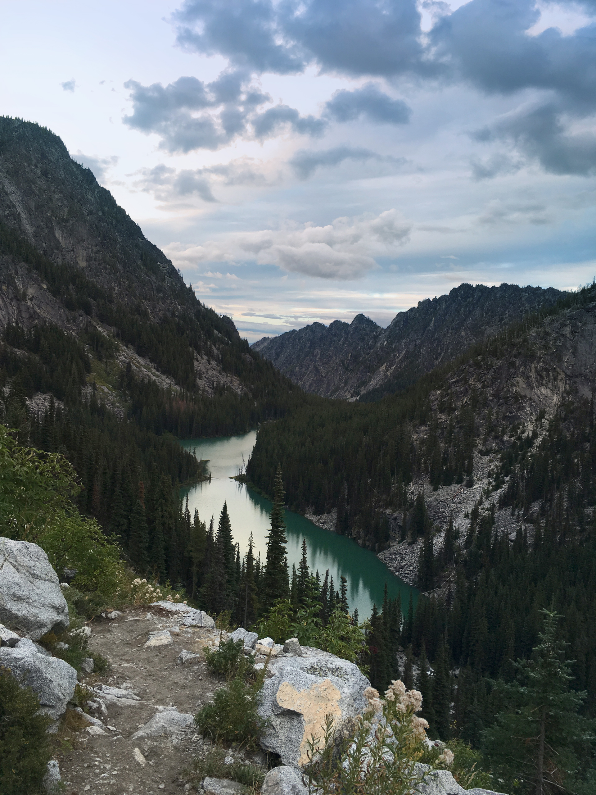
Looking down at Nada Lake, just before sunset
Directions
The one-way hike through The Enchantments starts at the Stuart Lake Trailhead, about 35-minutes drive from Leavenworth, and ends at the Snow Lakes Trailhead.
1
Stuart Lake Trailhead: 47.527870, -120.820772
2
Colchuck Lake: 47.498297, -120.833316
3
Aasgard Pass: 47.479969, -120.819380
4
Gnome Tarn: 47.484618, -120.789826
5
Snow Lakes Trailhead: 47.544087, -120.709666

More Stories