Canada · December 2016
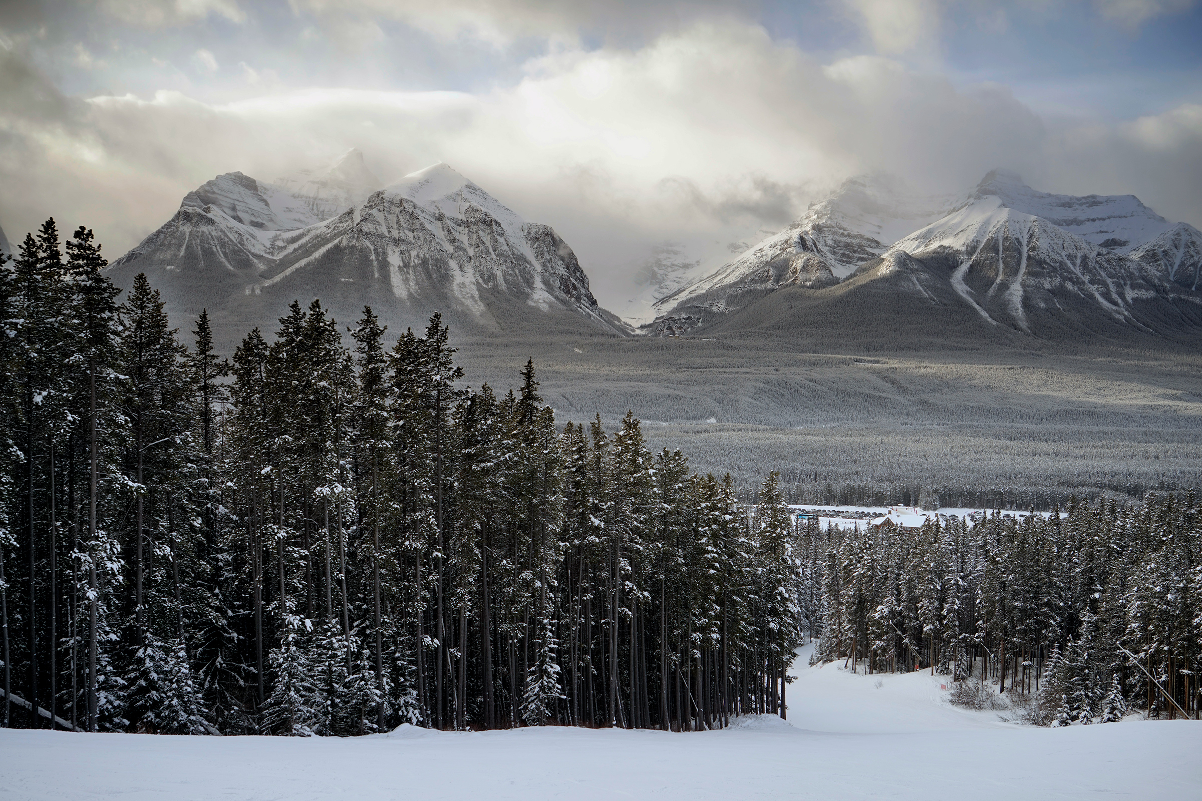
Winter tranforms the visual palette of the Canadian Rockies.
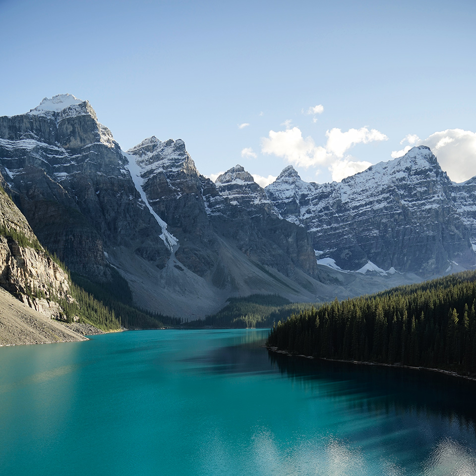
Mountains and blue-green lakes are frozen in white and gray, while sunsets quicken with new colors.
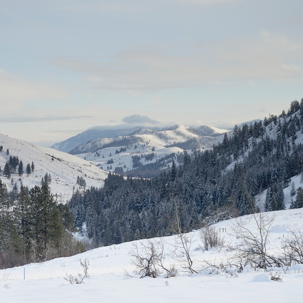
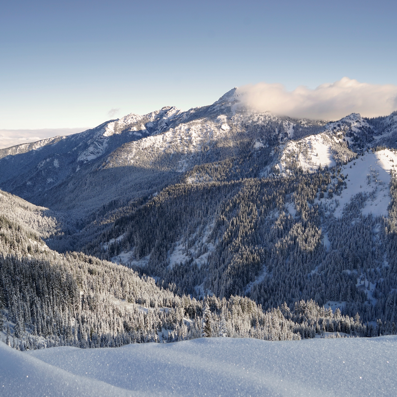
Though the weather may limit road access to deeper parts of the mountains, it opens up other possibilities in snowshoeing and skiing.
Banff
The roads from Calgary to Banff are well maintained in the winter season, but there can be patches of slippery snow and ice everywhere.
Driving with an all-wheel-drive or with snow chains makes getting to Banff easier.
Though there are a few sections of roads closed for the winter, many sites are still accessible, with the benefit of less traffic and smaller crowds in most places.
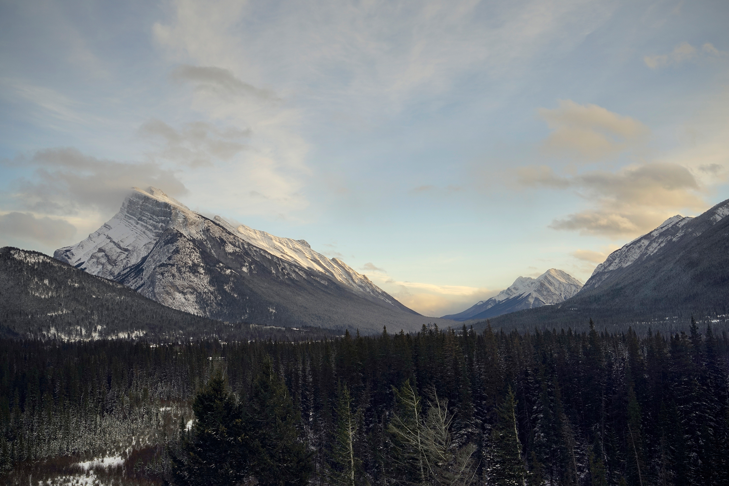
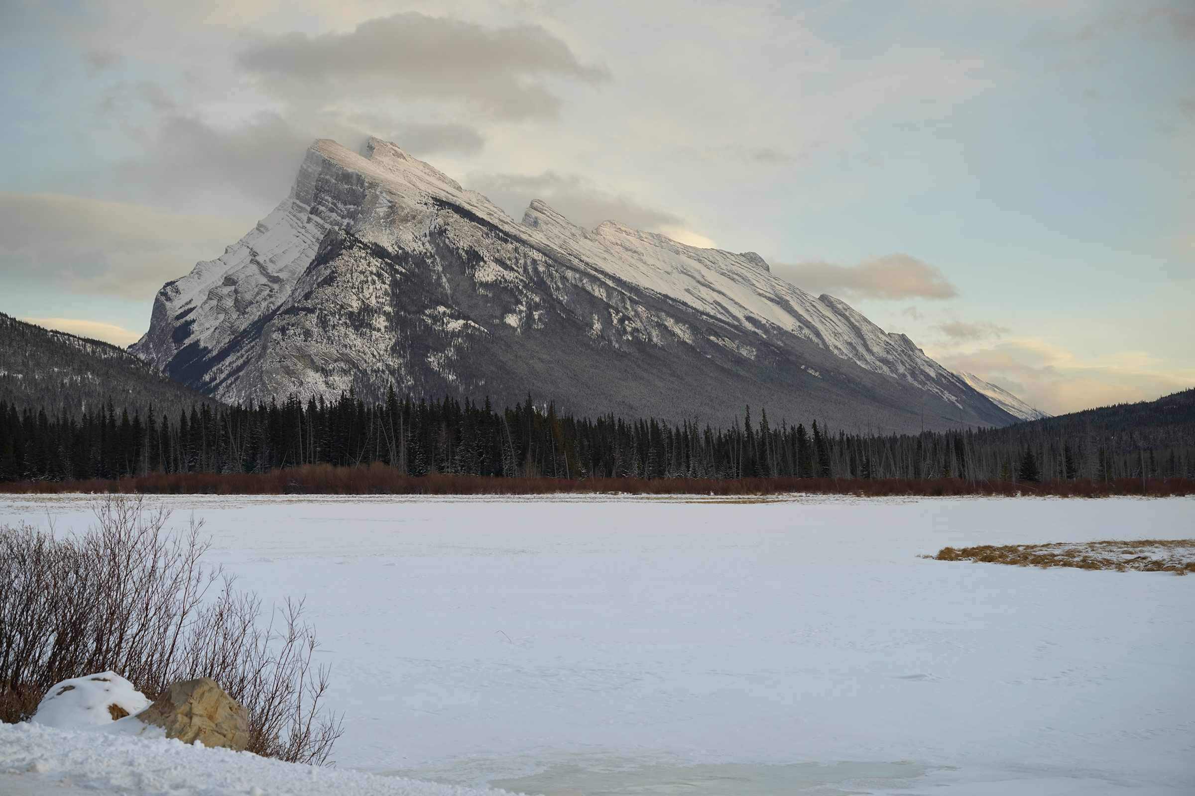
Mt. Rundle from the Juniper Hotel, next to the Mt. Norquay Ski Area: 51.187892, -115.588173
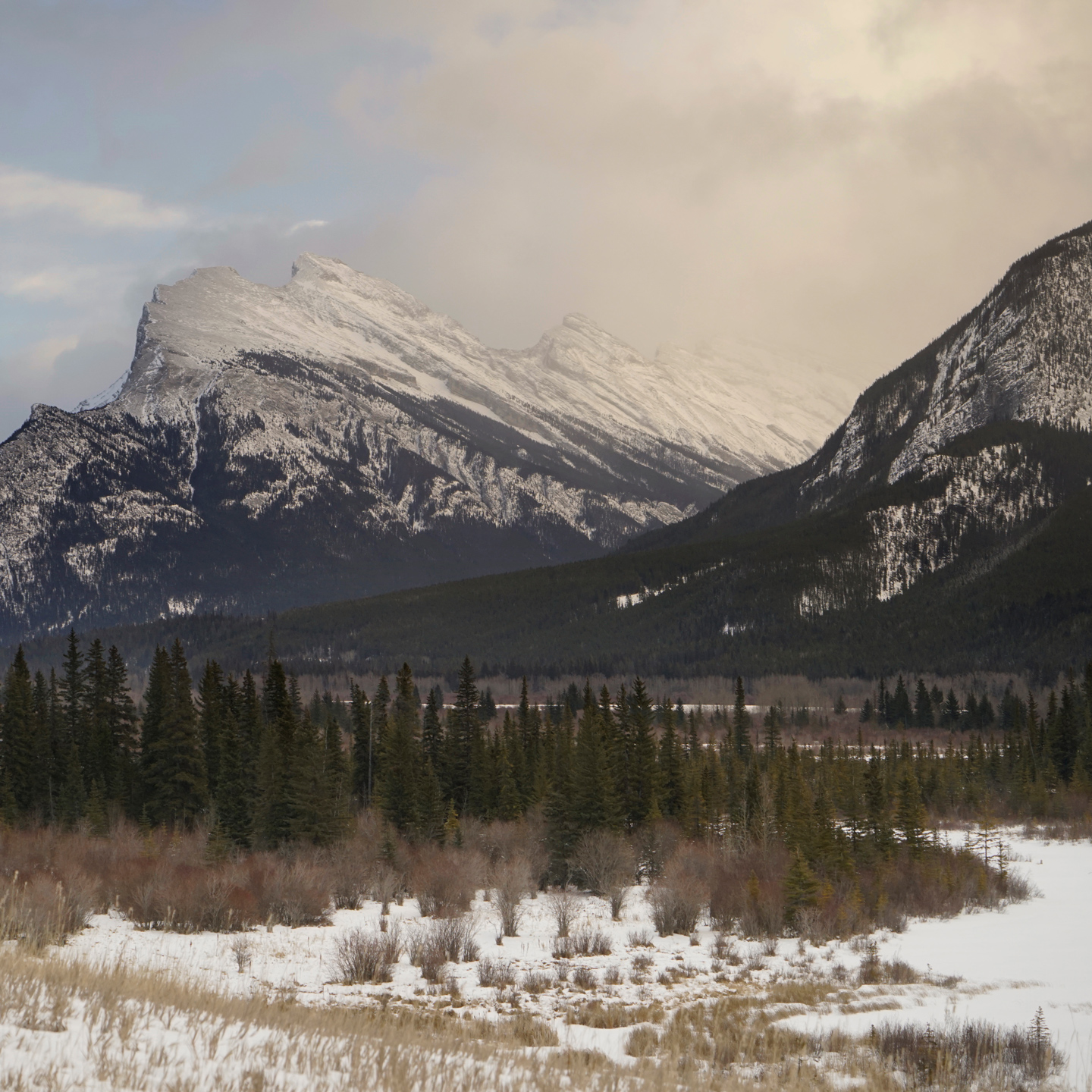


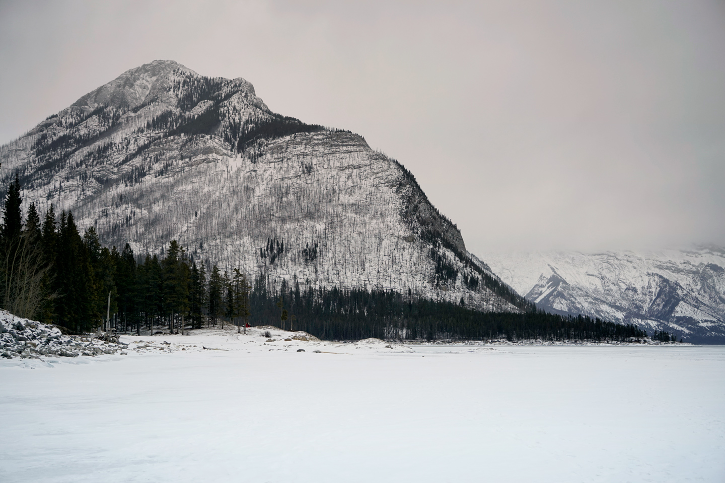
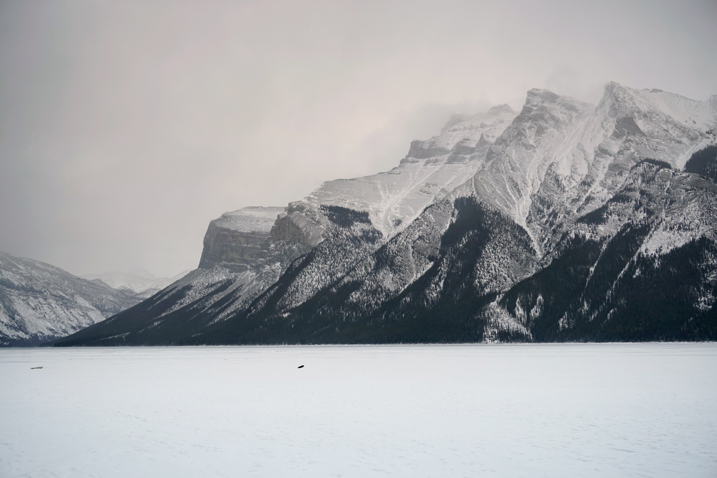
Near Lake Minnewanka
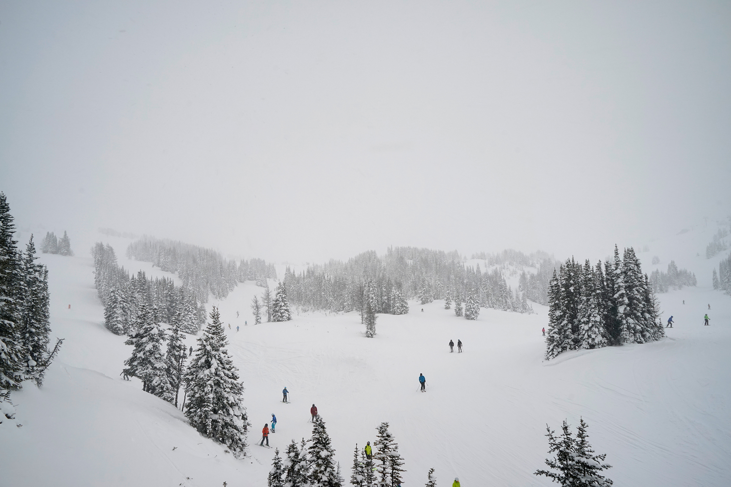
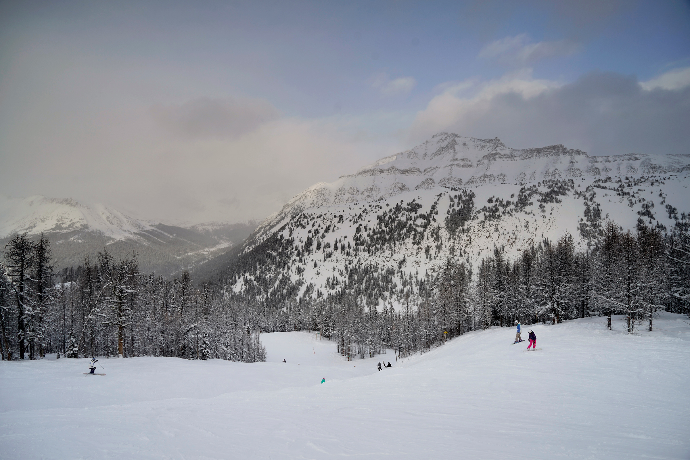
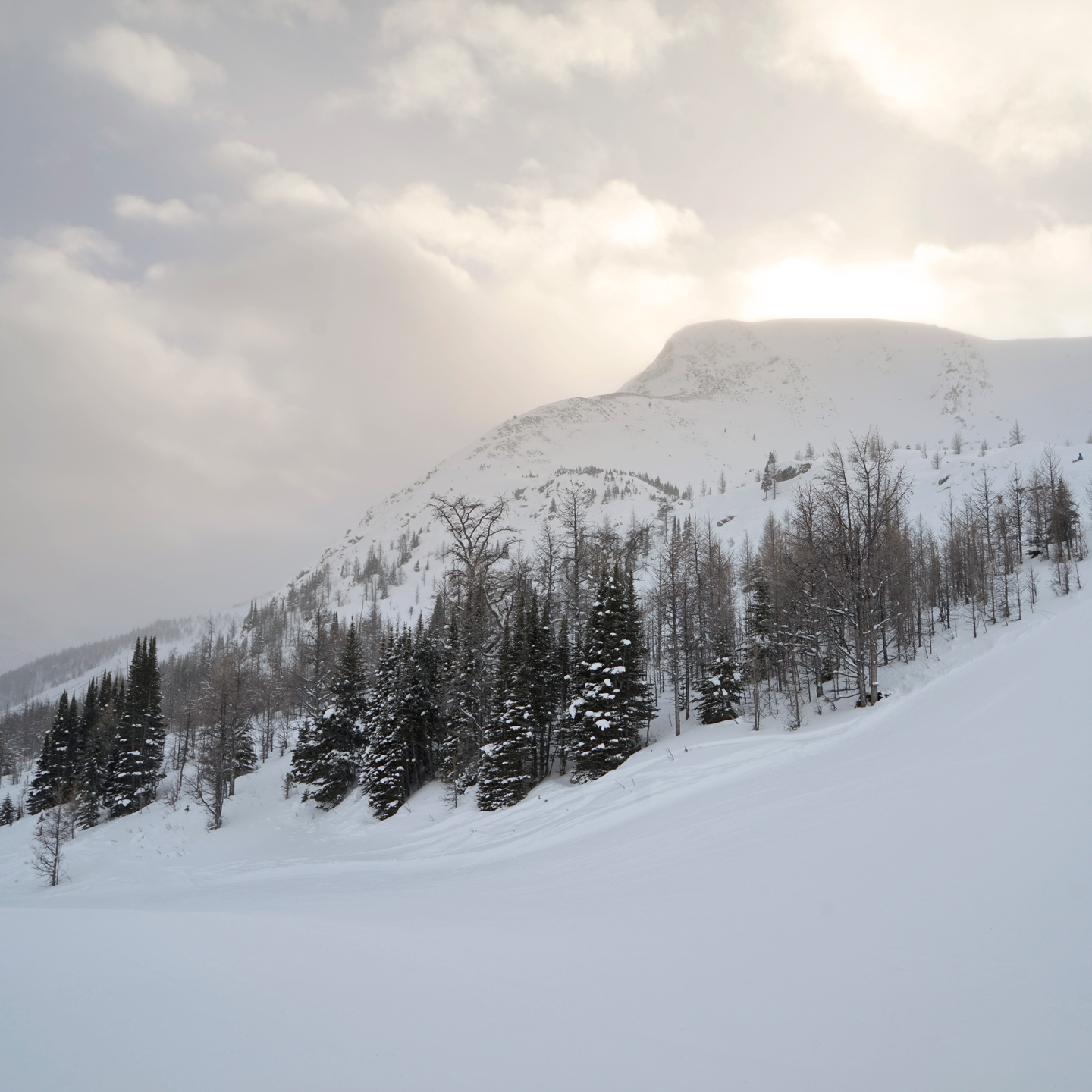
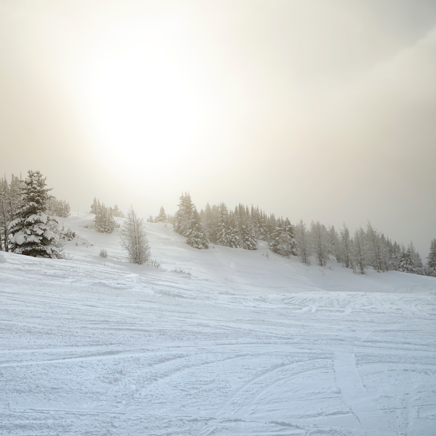
Sunshine Ski Resort
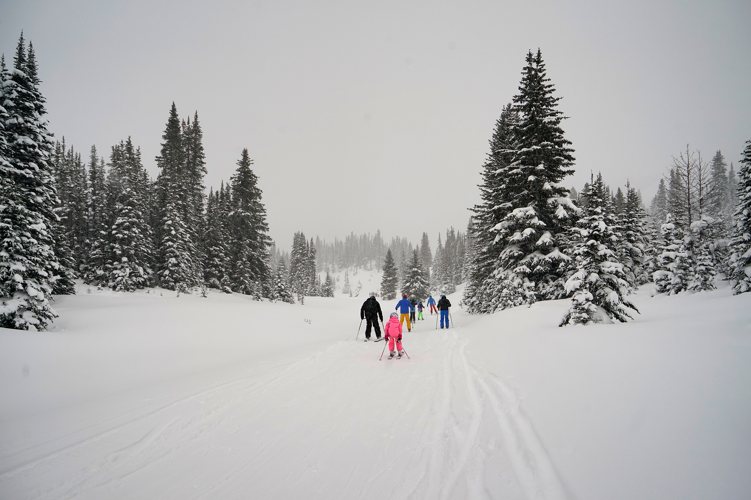
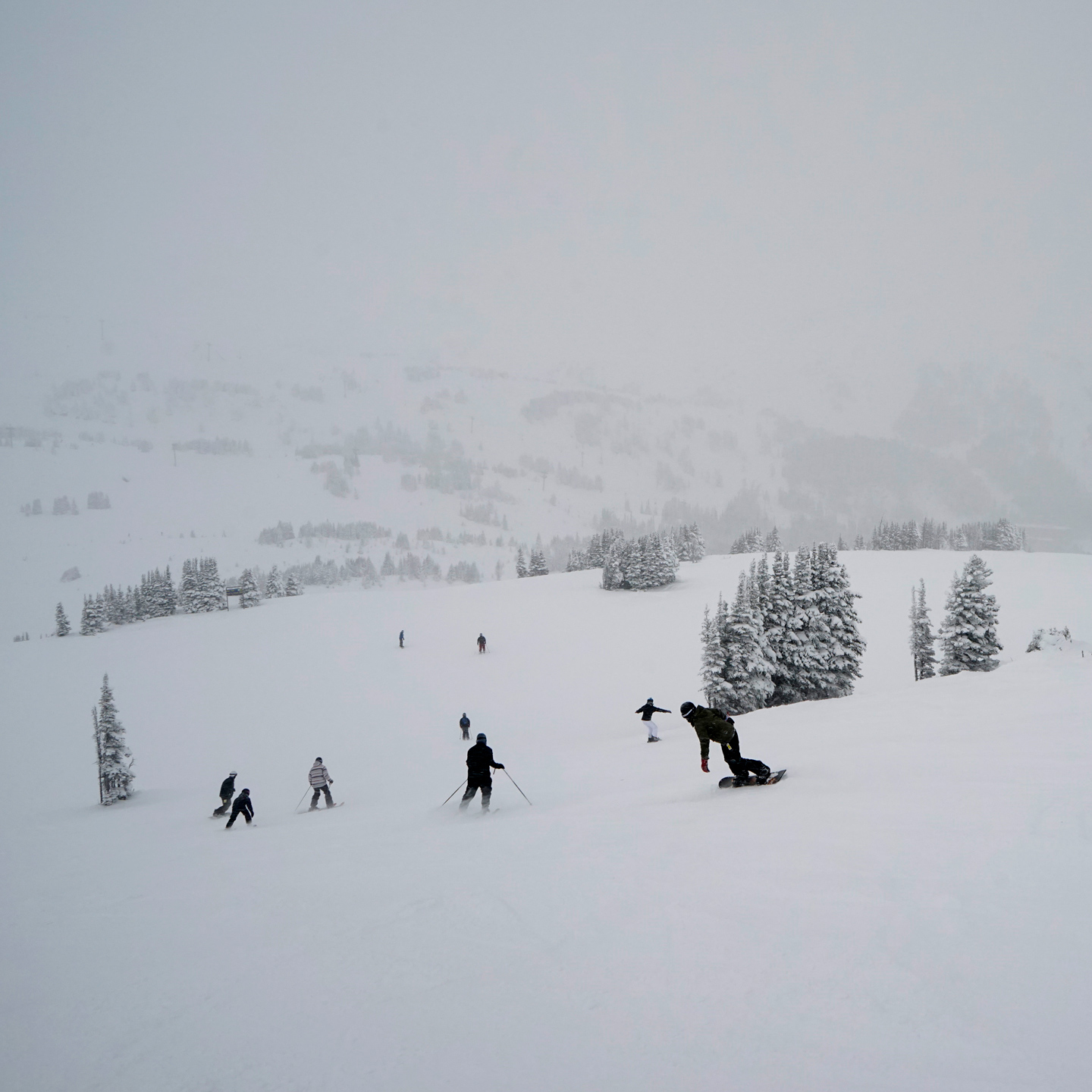
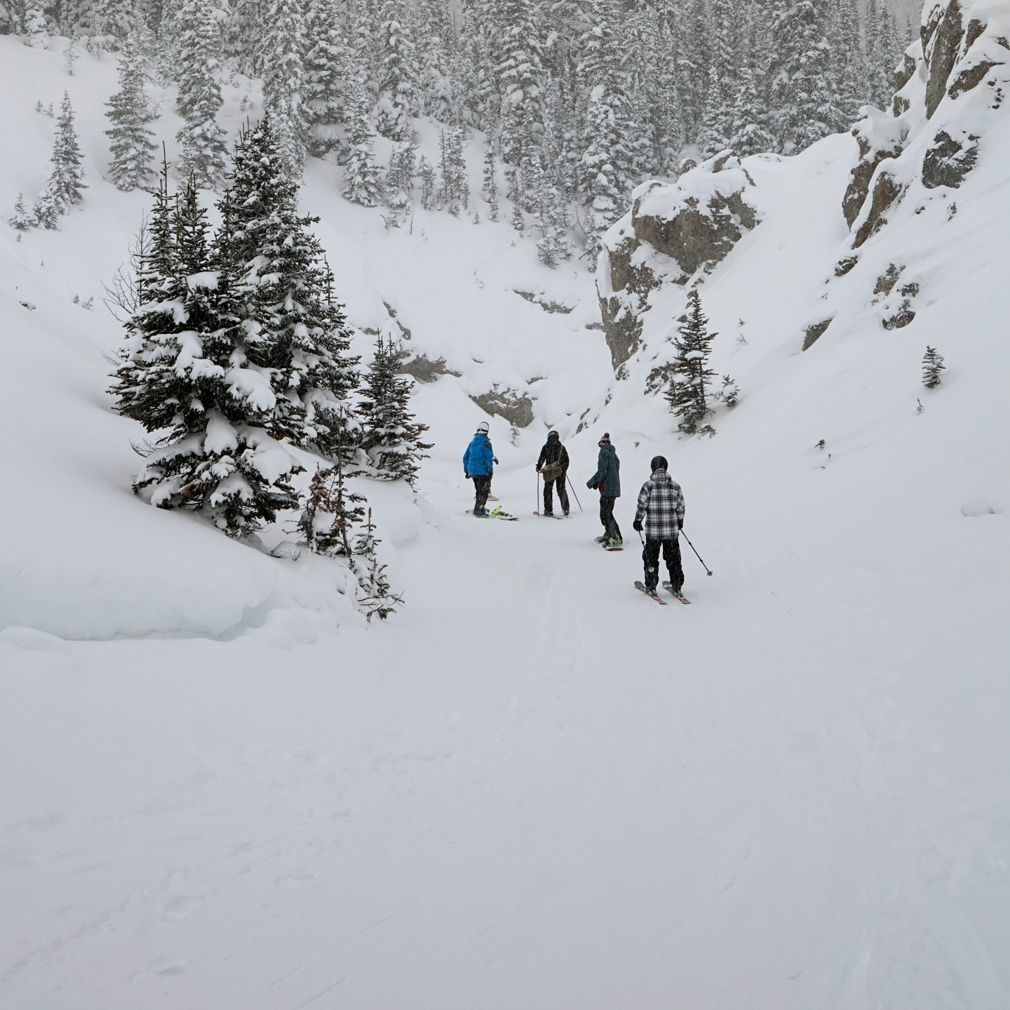
Lake Louise Ski Resort
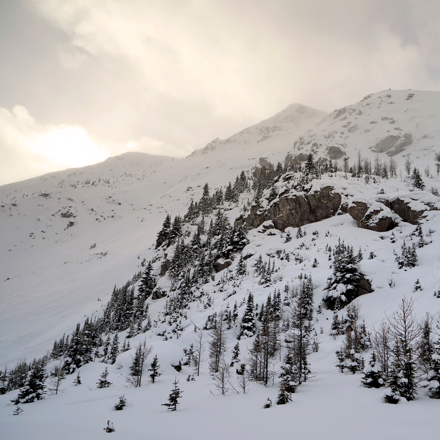
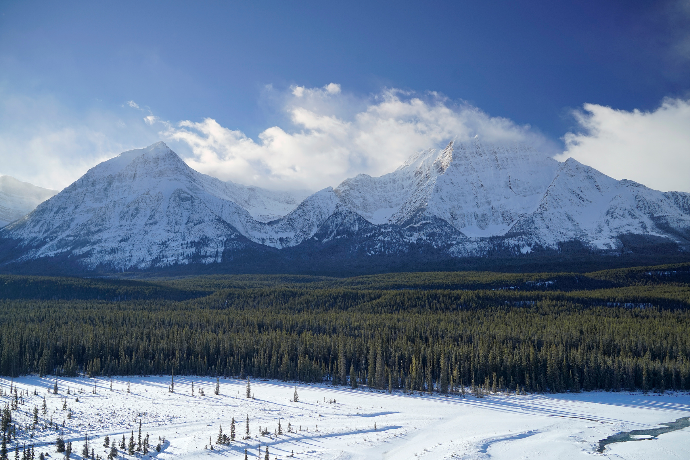
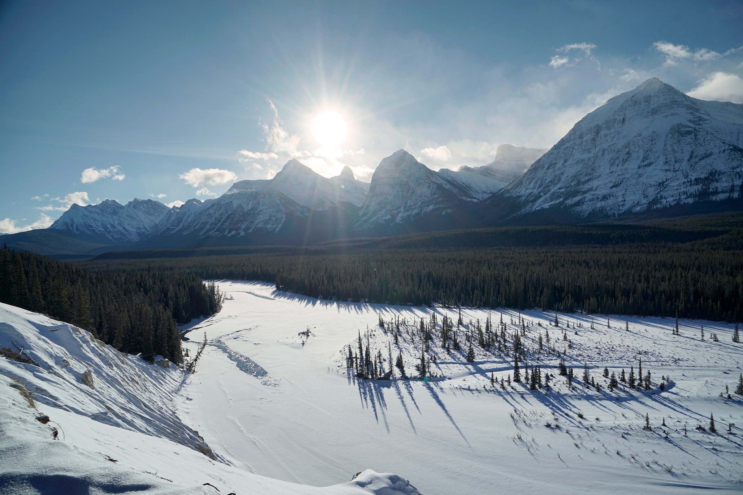
The Icefields Parkway
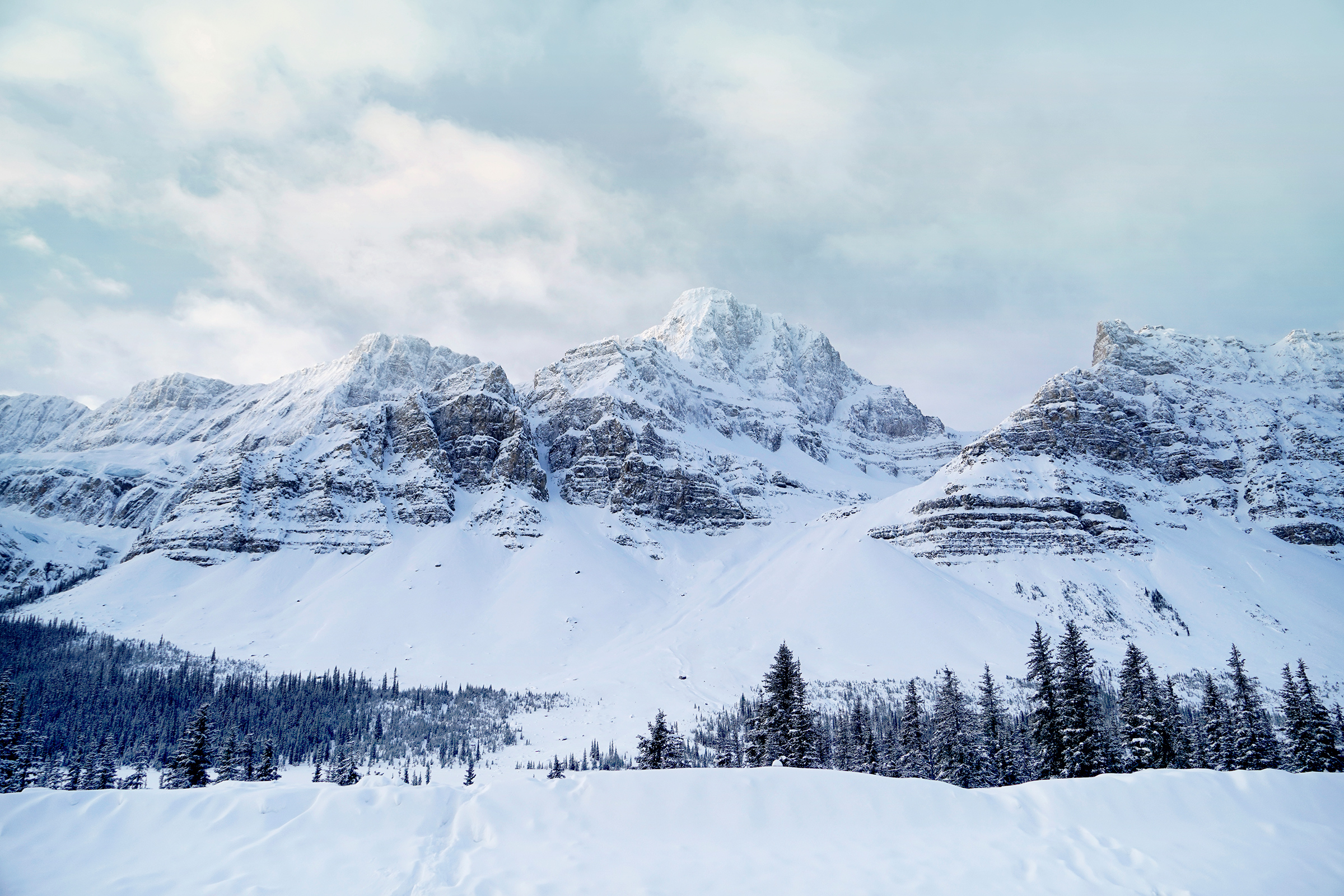
Crowfoot Glacier: 51.662938, -116.438474
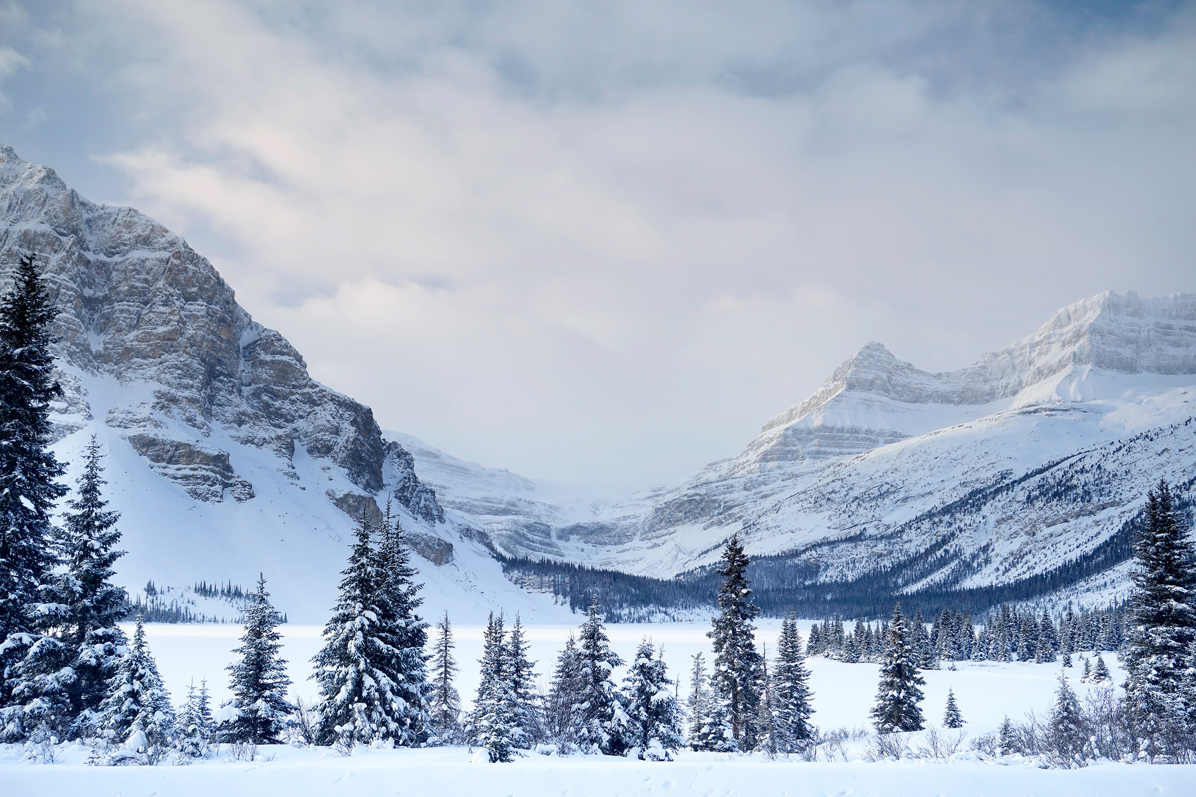
Bow Lake: 51.678328, -116.455755
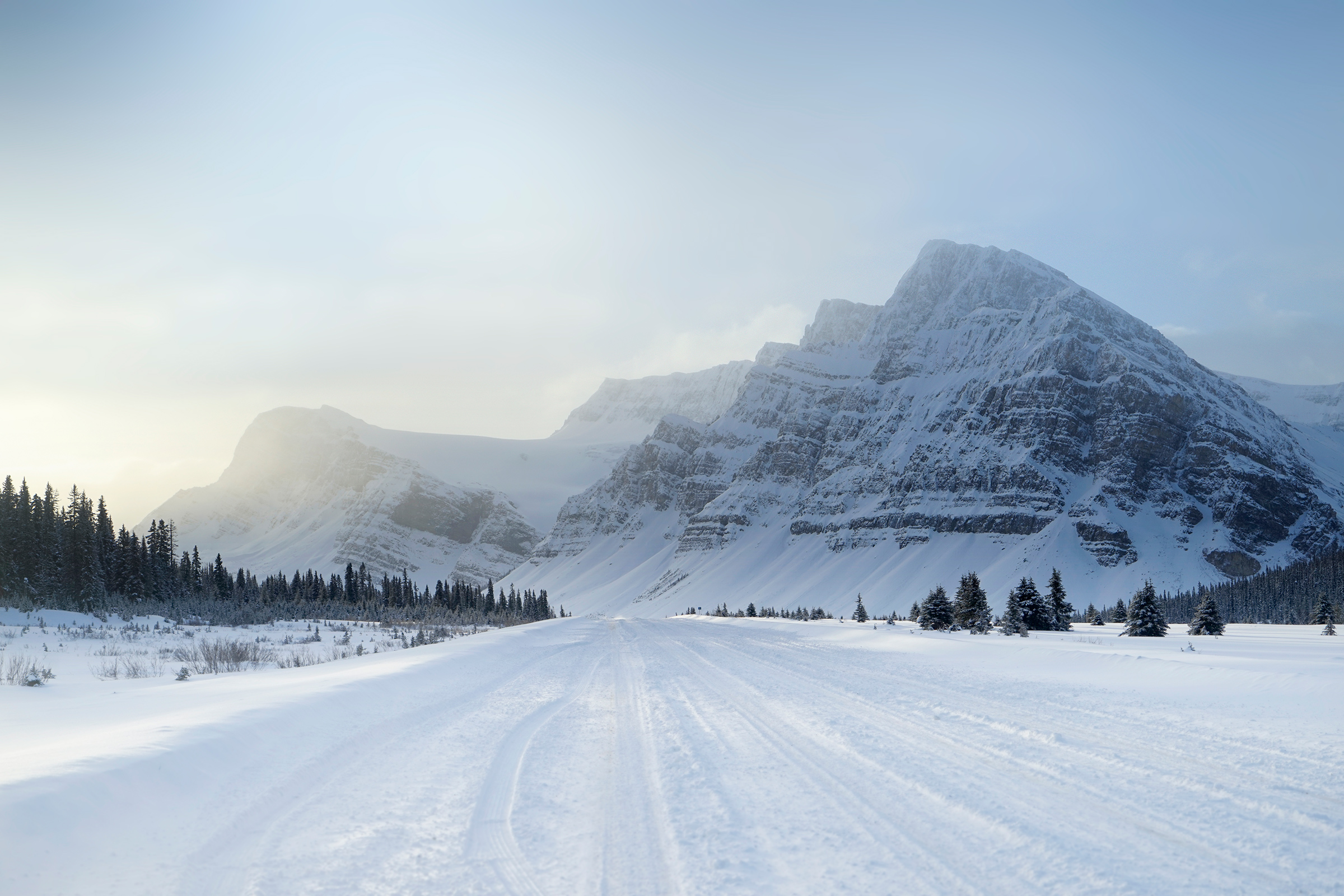
Crowfoot Mountain from north of Bow Lake: 51.688035, -116.467586
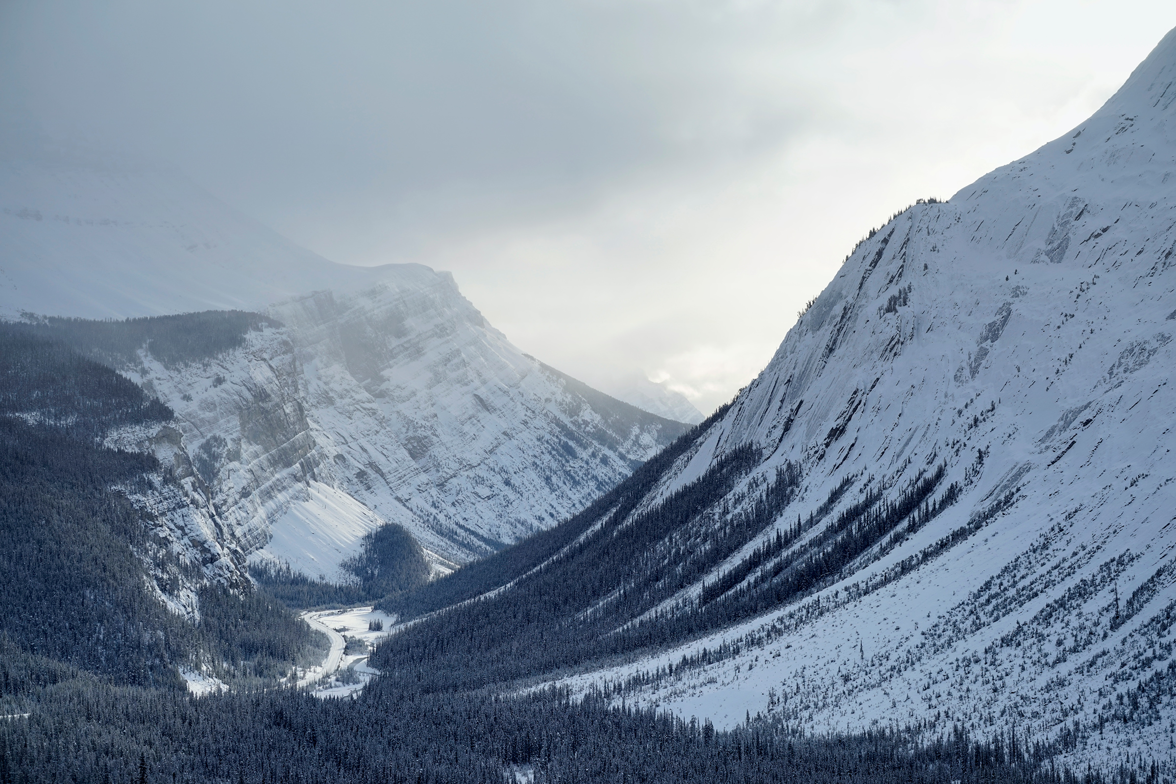
Big Hill and Big Bend: 52.176688, -117.055429
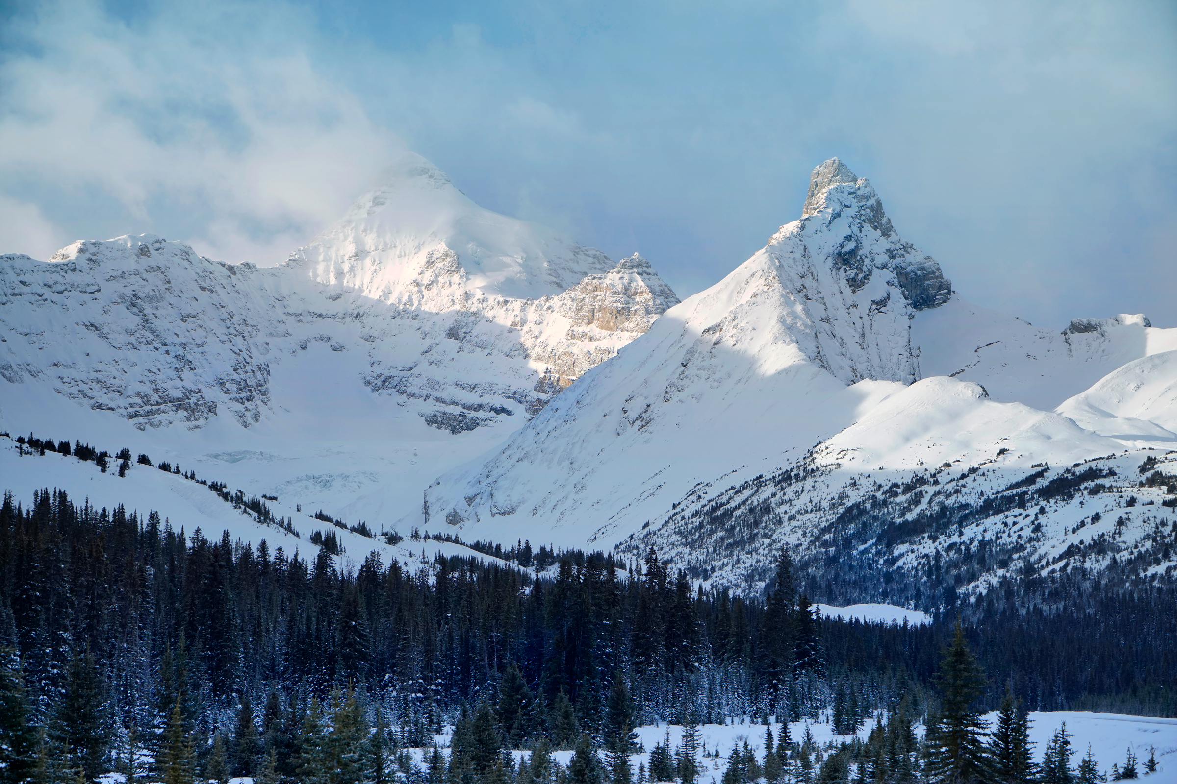
Hilda Peak and Mount Athabasca from Parker Ridge: 52.191886, -117.115456
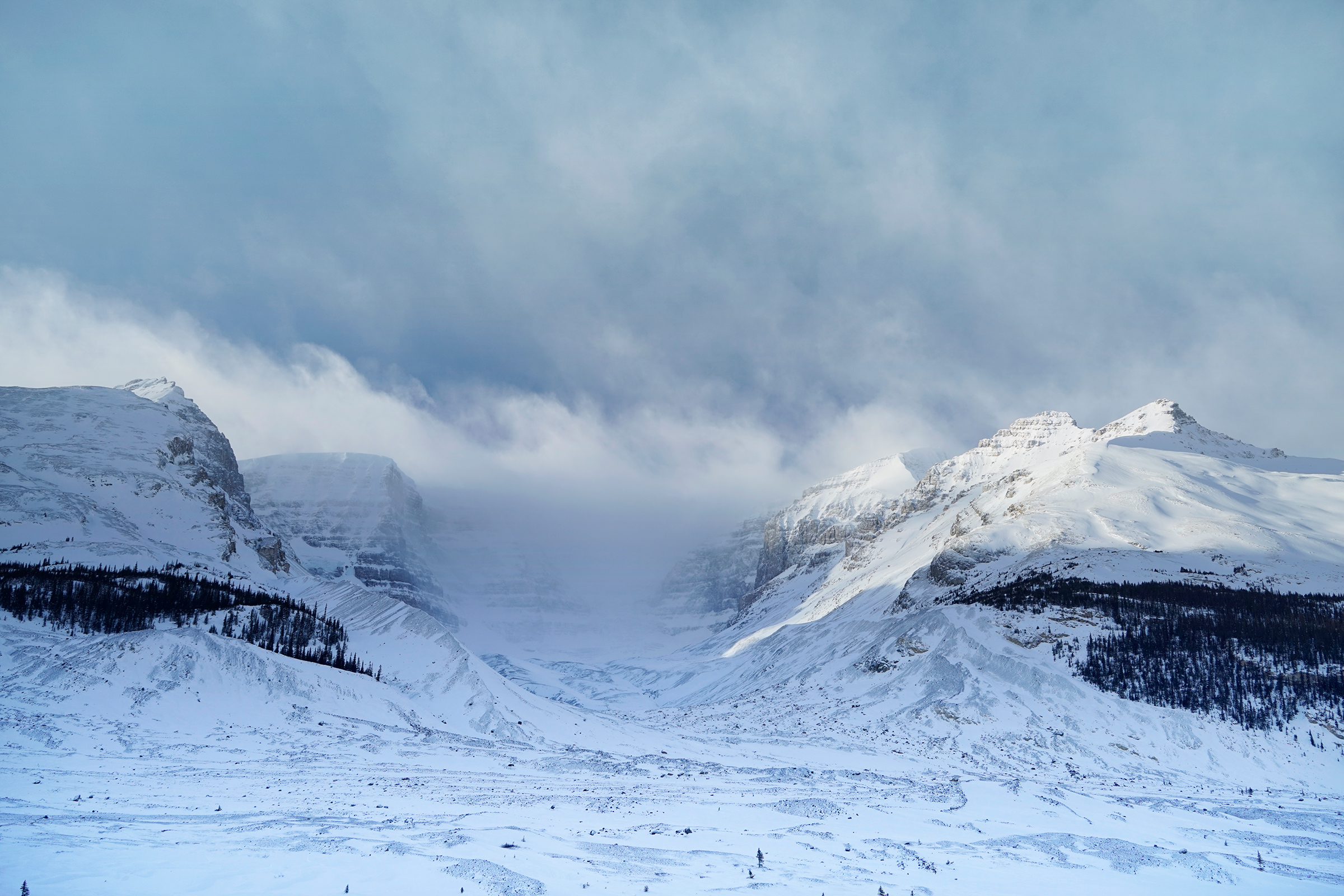
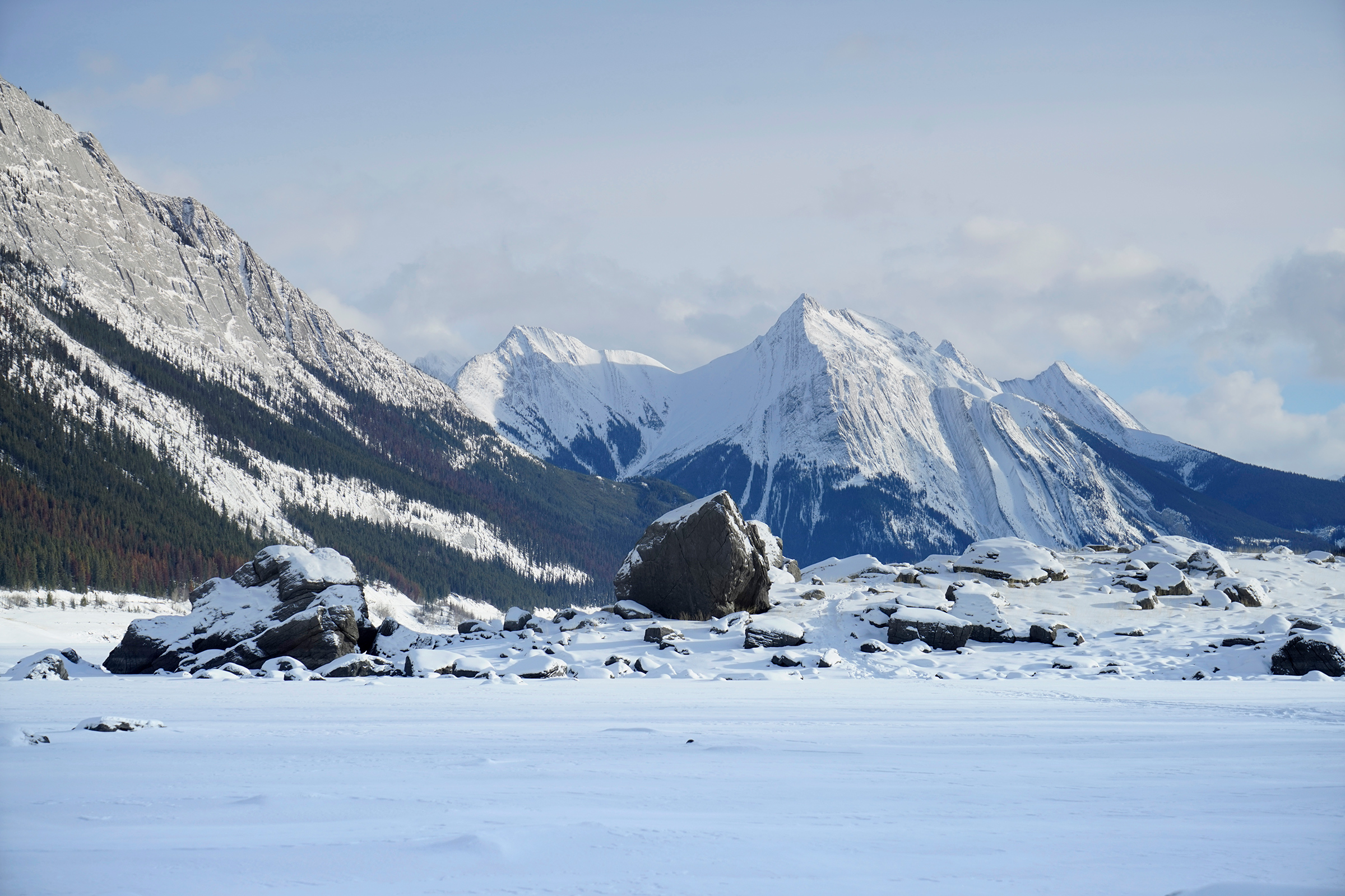
Columbia Icefield: 52.221159, -117.237403
Beauty Creek: 52.311841, -117.332168
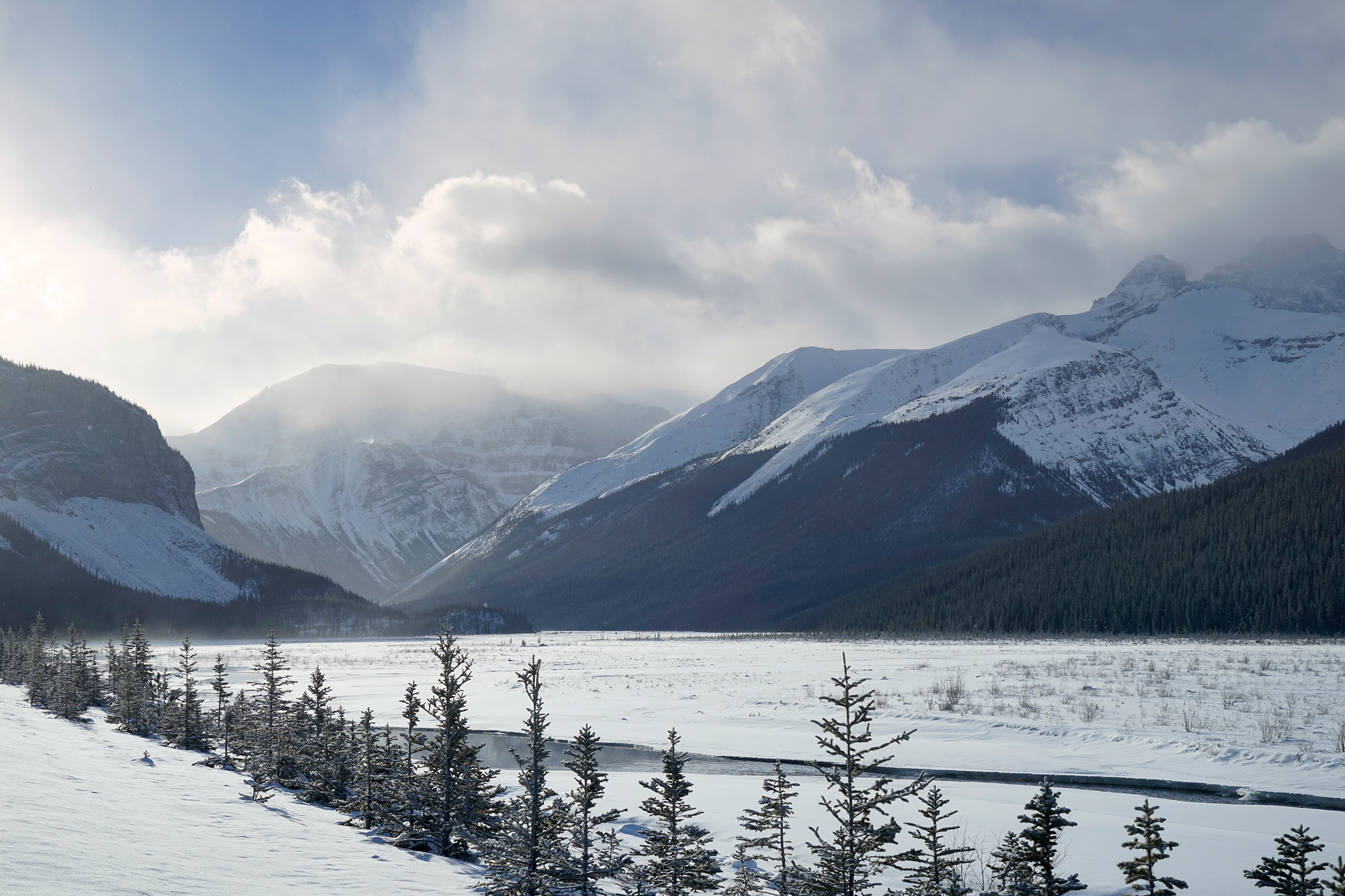
Geraldine Peak, across the Athabasca River: 52.616488, -117.846223
The Athabasca River: 52.616488, -117.846223
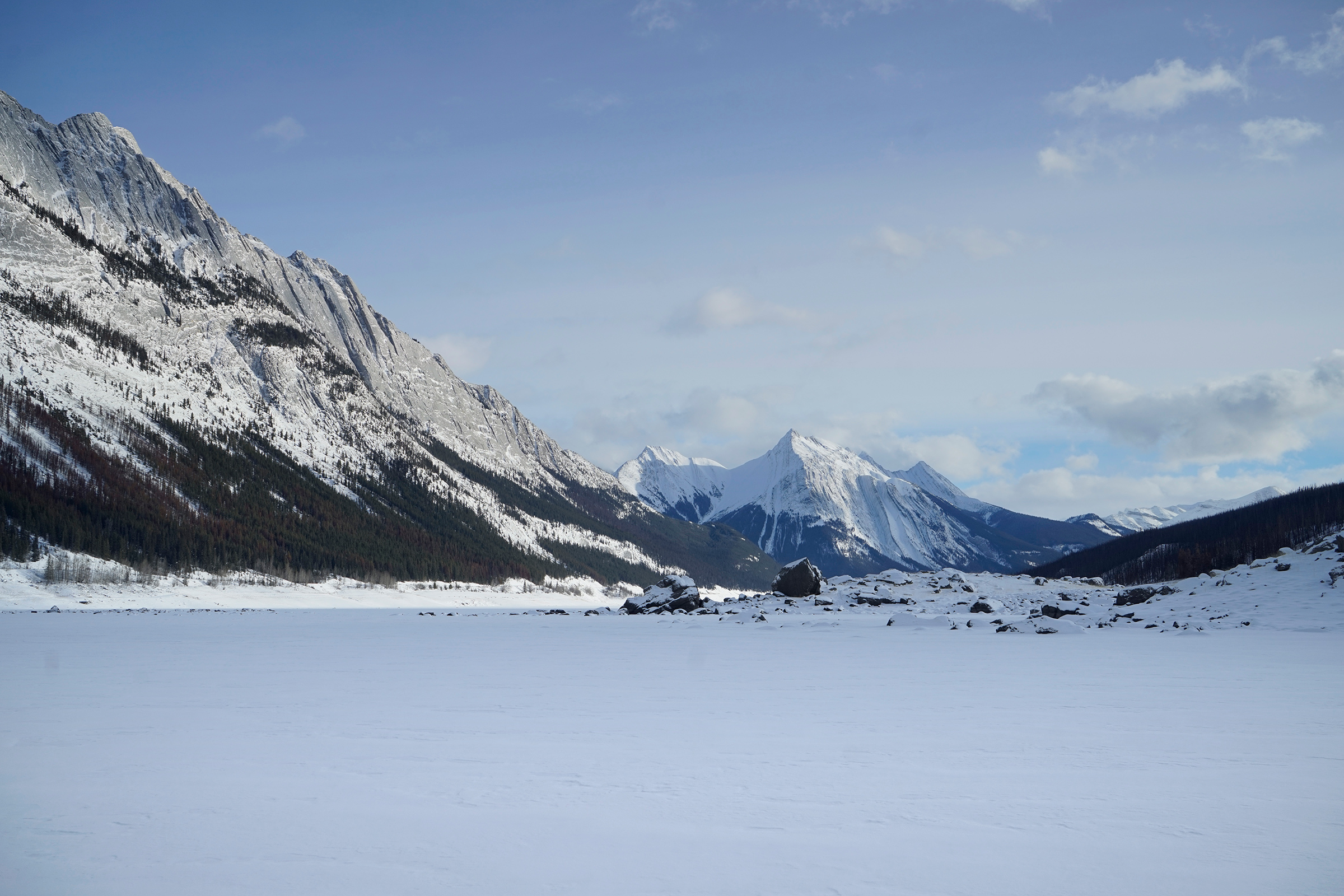
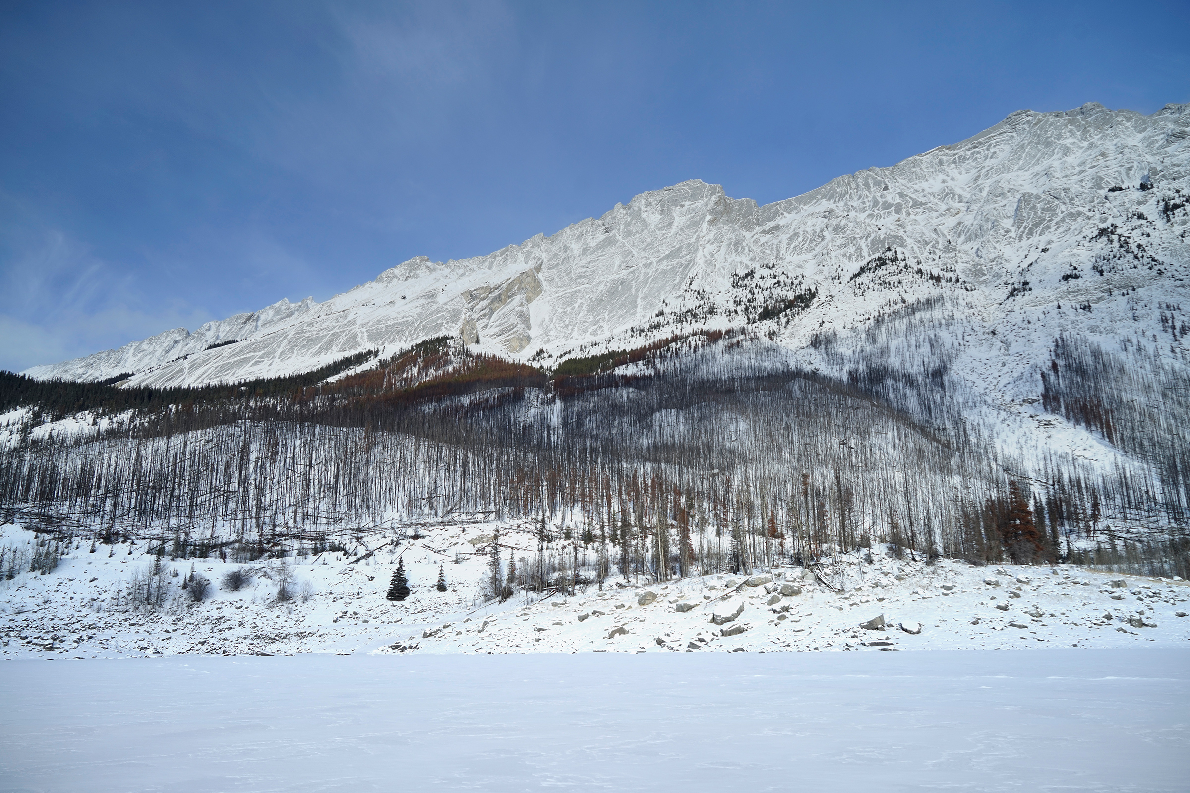
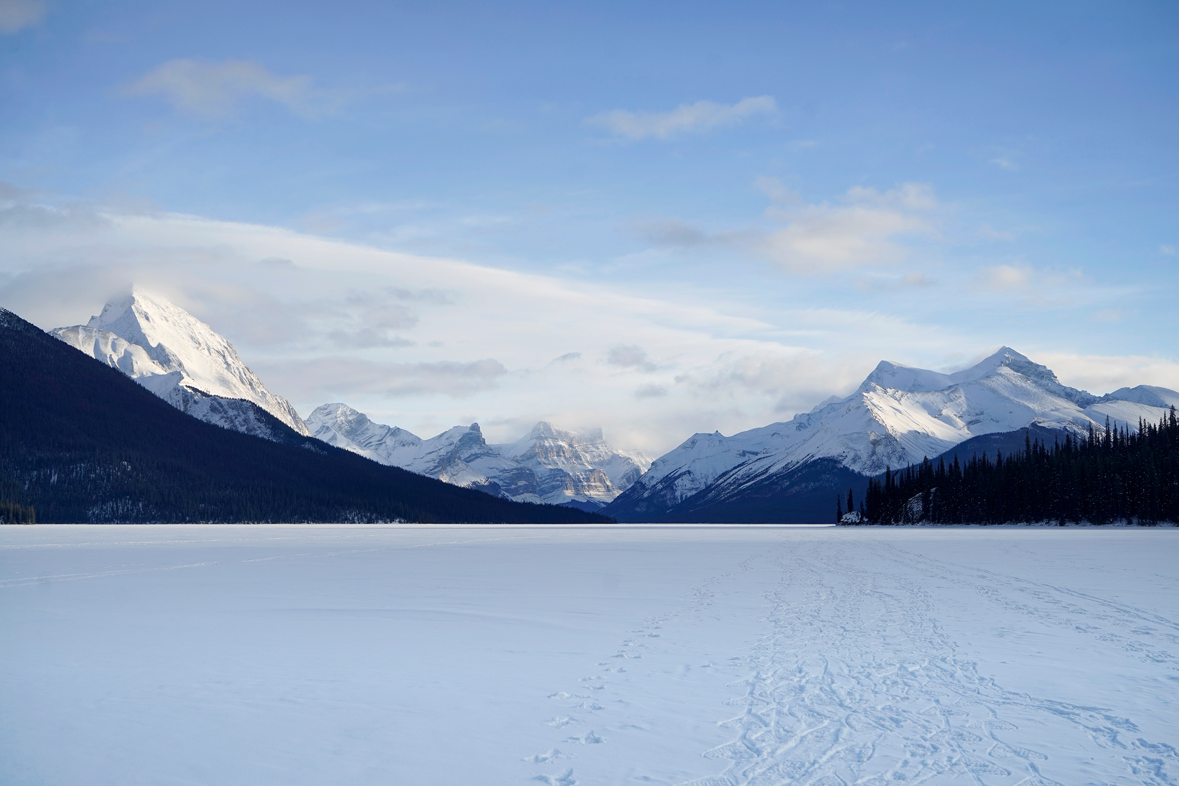
Jasper National Park


Directions
Banff National Park is a 2-hour drive west from Calgary International Airport.
Lake Louise is the next major town along the Trans-Canada Highway, a 40-minute drive northwest from Banff.
The Columbia Icefield Discovery Center is a 2-hour drive northwest on the Icefield Parkway, and Jasper National Park is another 2-hour drive from there.
Some roads may be closed or limited in the Winter.
Road alerts can be found on the 511 Alberta website.
1
Vermillion Lakes: 51.181207, -115.605343
2
Sunshine Ski Resort: 51.115252, -115.762474
3
Lake Louise Ski Resort: 51.441931, -116.162415
4
Columbia Icefield: 52.220422, -117.223046
5
Maligne Lake: 52.729583, -117.641441

More Stories