Canada · July 2018
Hike Summary
Distance:
6.5 miles loop
Total Elevation Gain:
2,720 ft
Starting Elevation:
6,178 ft
Highest Point:
8,350 ft
Hike Time:
5 - 6 hrs
Difficulty:
Difficult
Season:
July - September
Dogs:
Allowed on Leash
Tent Ridge is a popular hike in the Kananaskis, an hour from Canmore, with amazing views of the Spray Valley.
As a loop, it can be completed in either direction, with steep sections and no clear advantage either way.
On this hike there's a wide range of terrain, and even in the middle of summer, parts of the trail can be very muddy with patches of snow at higher elevation.
Microspikes and poles may come in handy for this hike.
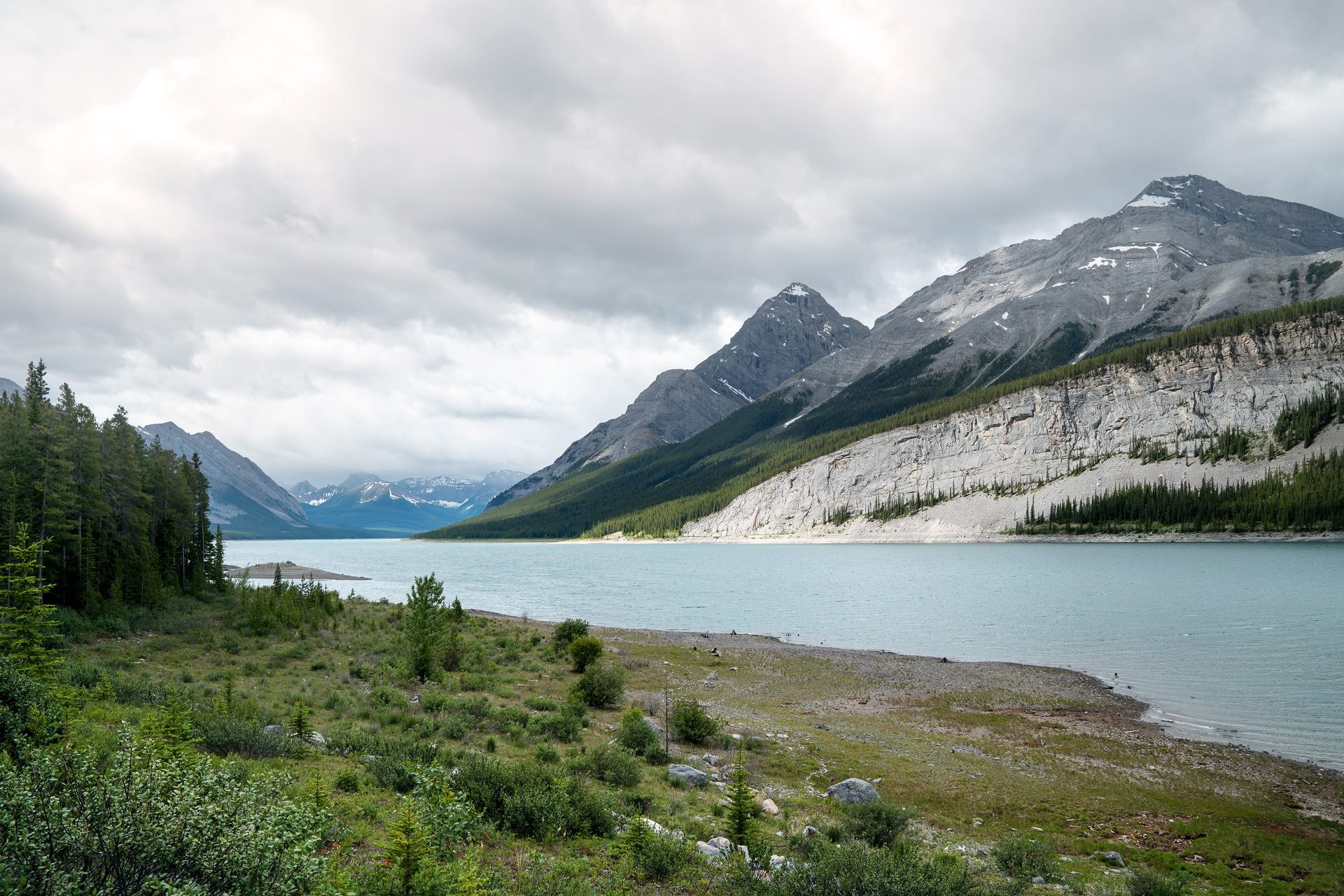
Driving to the trailhead from Canmore, there are plenty of picture perfect stops next to Spray Lakes.
The trailhead is located on Mount Shark Road, past the Mount Engadine Lodge, with nice views of Mount Engadine from the road.
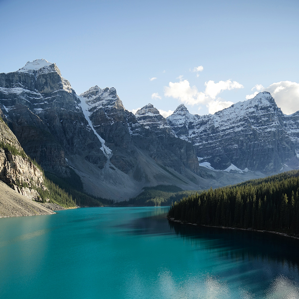
Spray Lakes and Goat Mountain
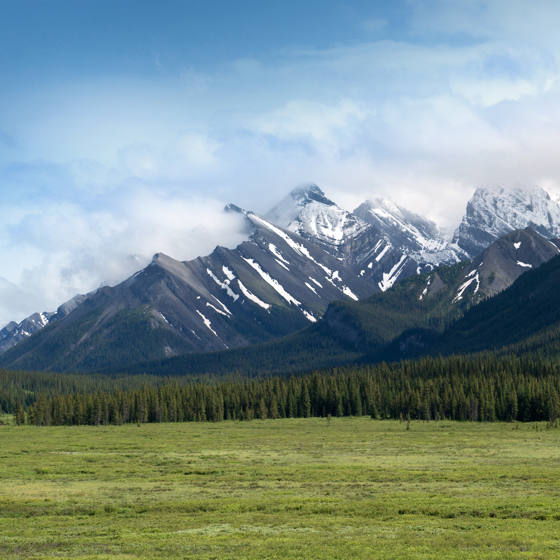
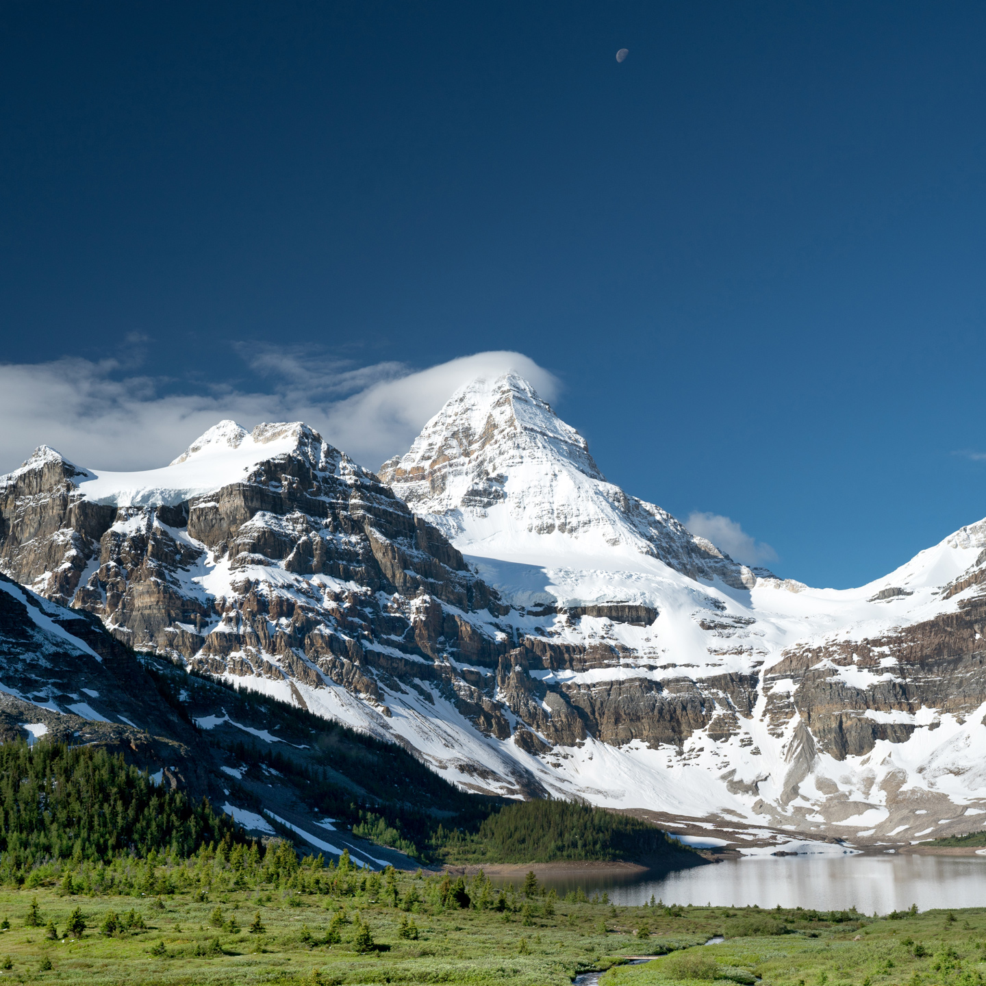
Mt. Engadine from the Mt. Shark Road
My partner and I chose to do this hike clockwise, as this trailhead seemed easier to find from the road.
Starting slow and steady in the forest above 6,000 feet elevation, there isn't much of a view until you approach a clearing next to the Monica Brook about one and a half miles in.
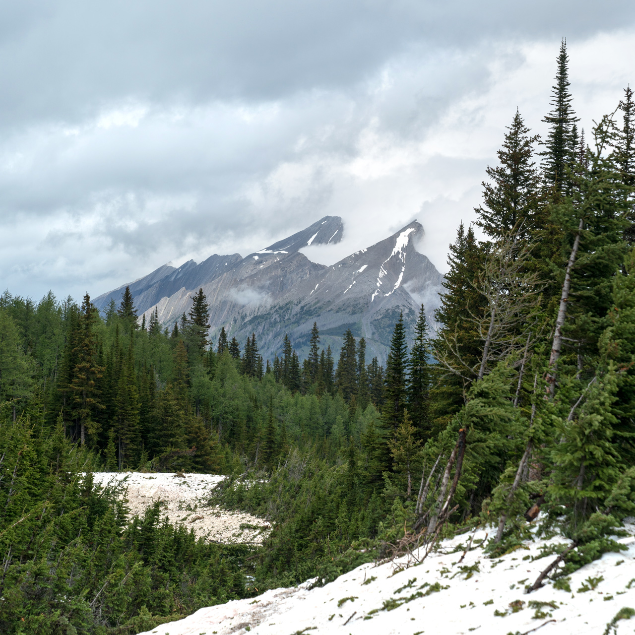
At the base of The Fist, nearly 2 miles into the hike, the trail becomes steep and slippery.
We were slow and needed to be careful, as there are lots of loose rocks here.
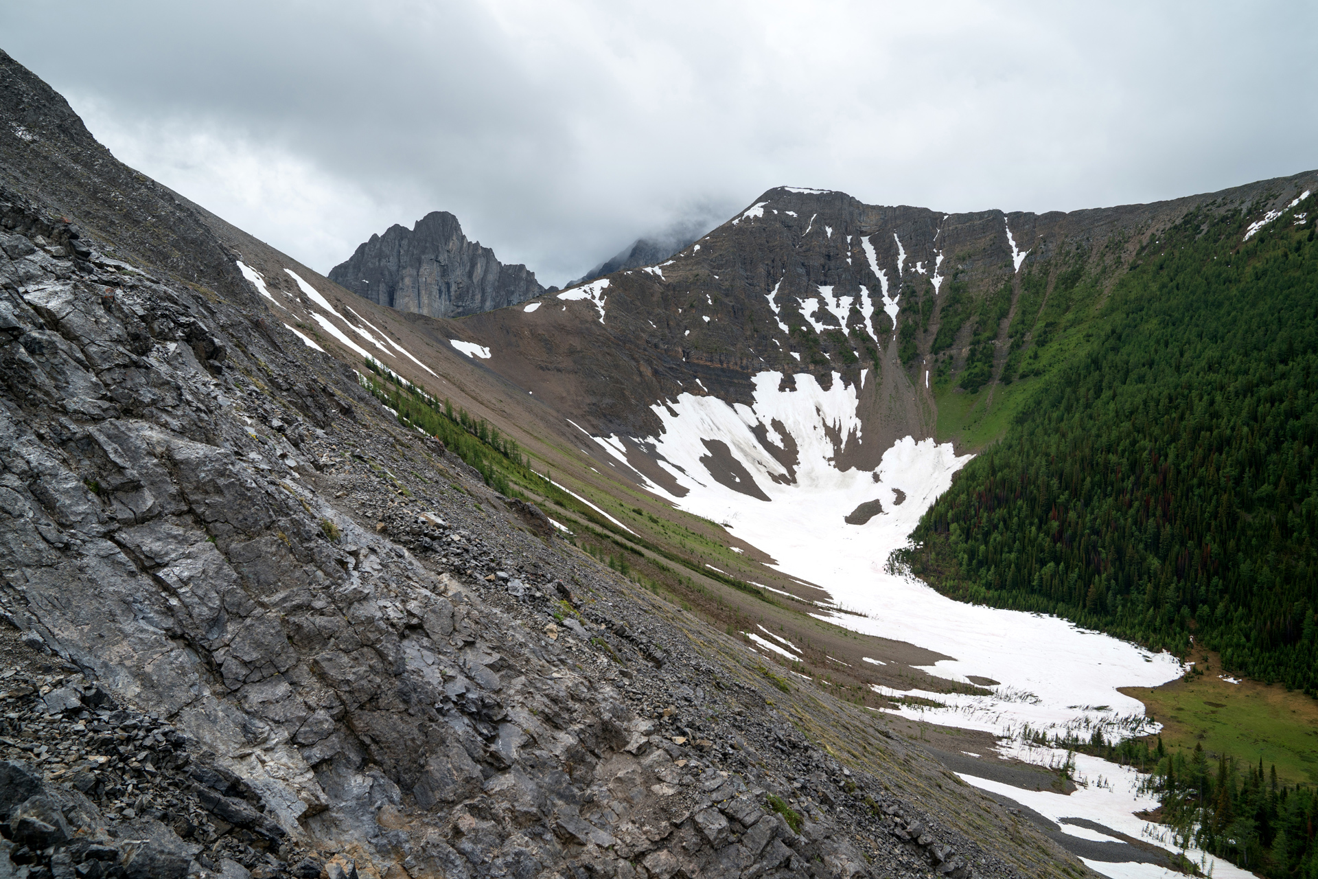
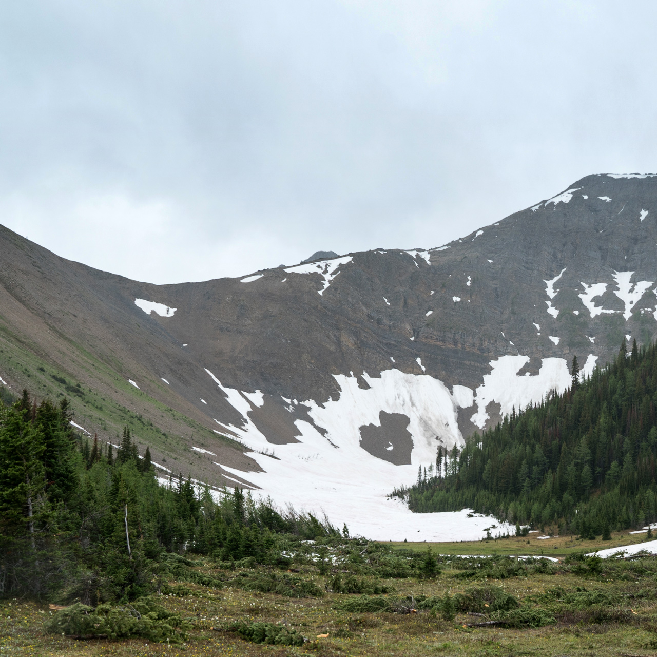
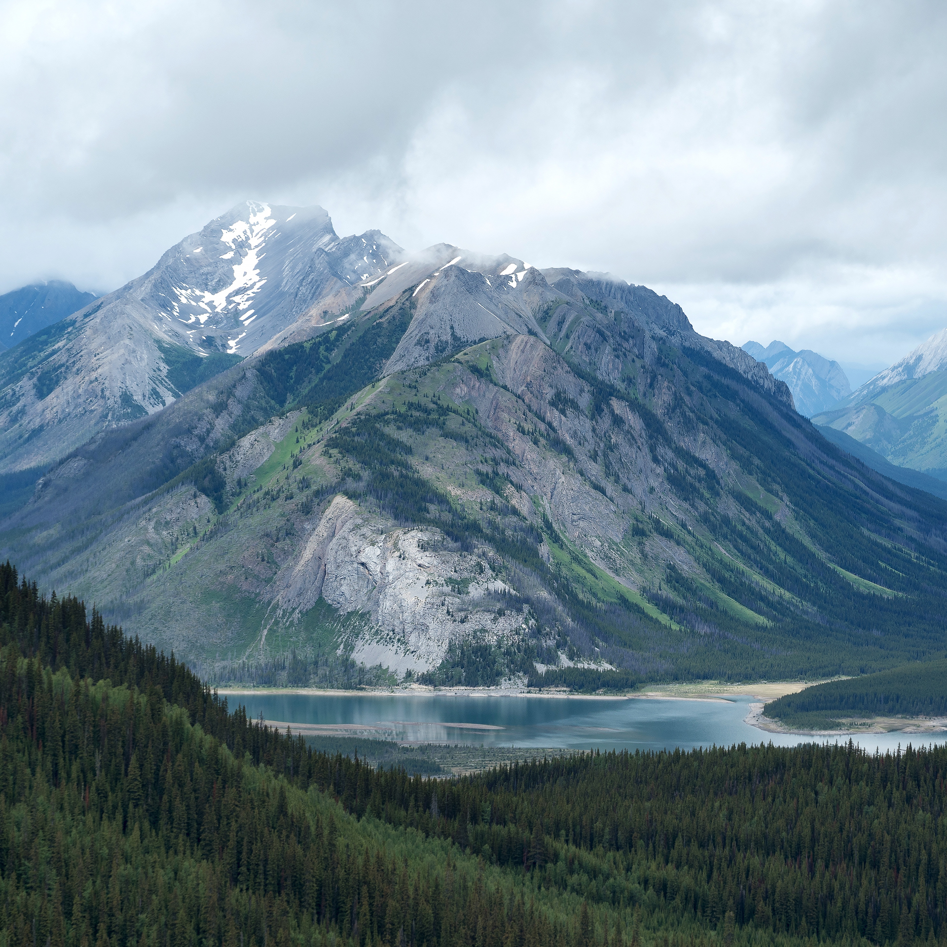
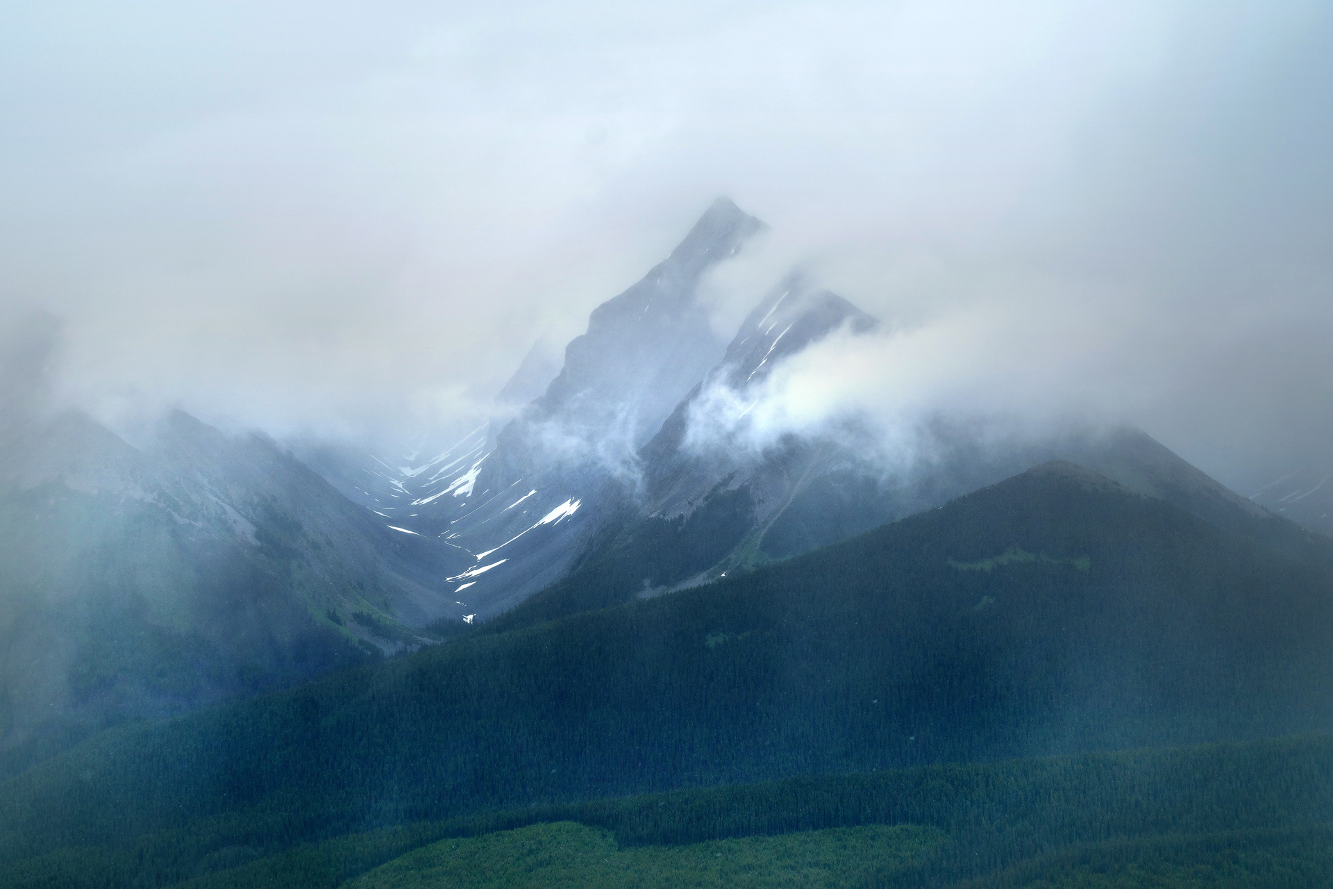
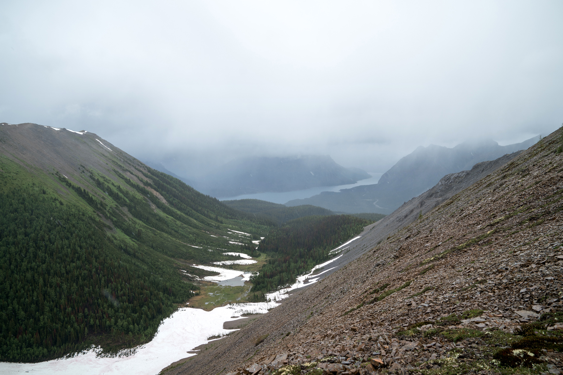
At the top of The Fist, we got the best views of the Spray Valley below.
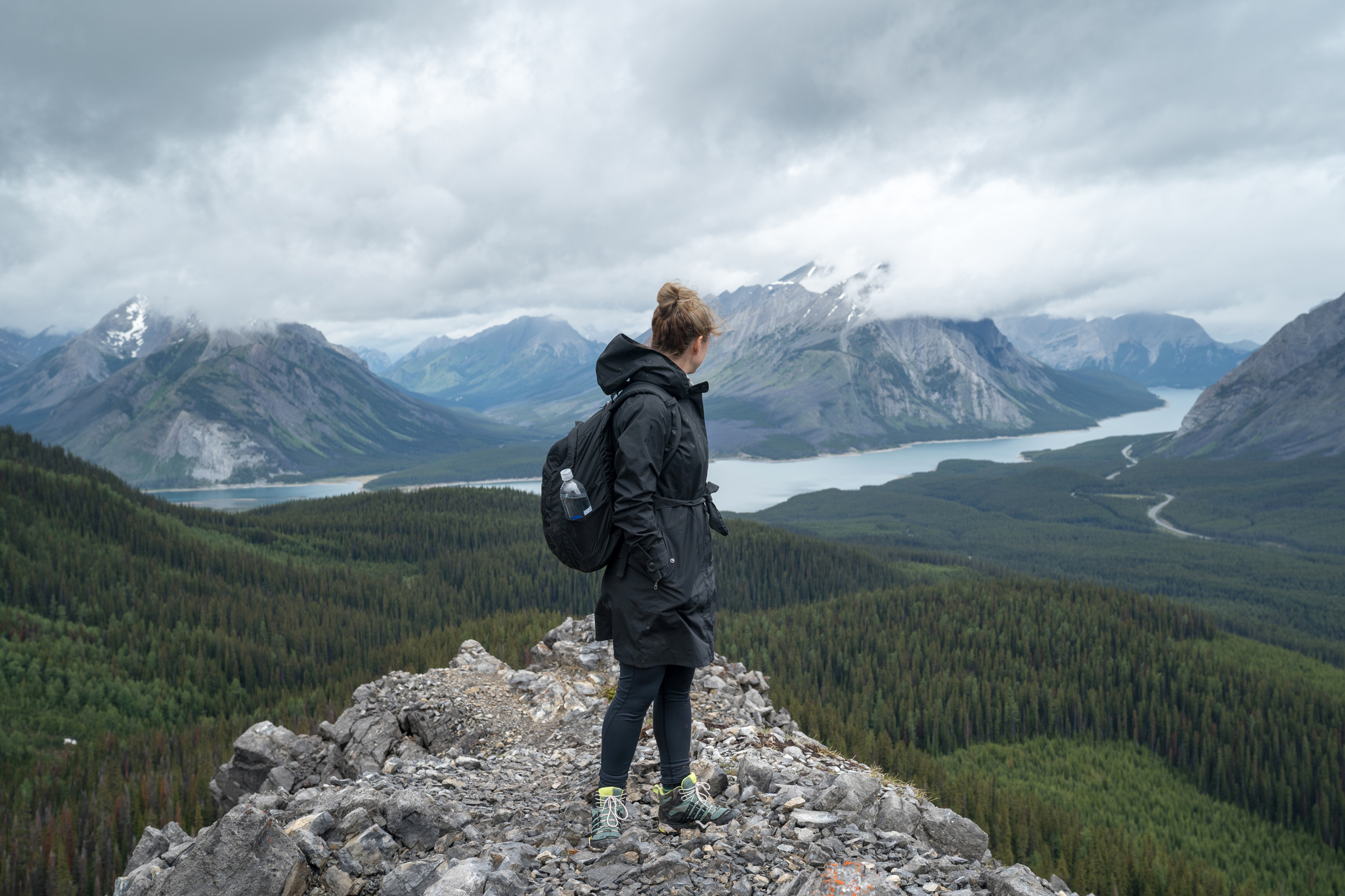
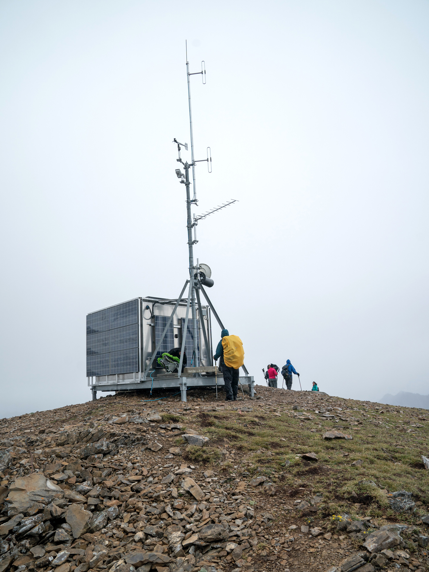
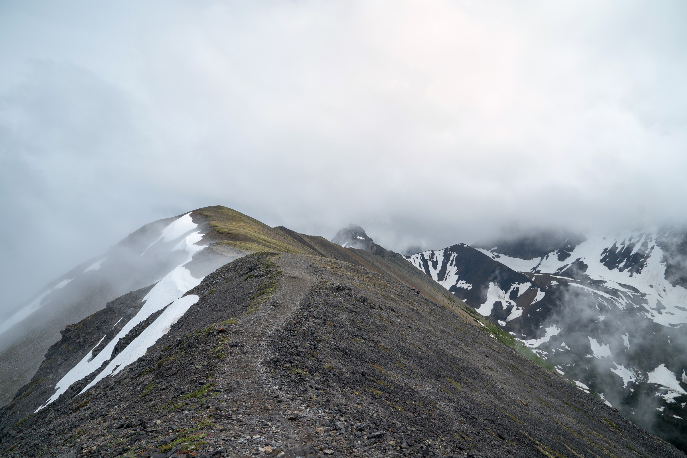
Further up and ahead, there's a weather station above 8,100 feet elevation, and just below that is the base of Tent Ridge.
Hiking up along the ridge, the wind can be furious.
On our hike, the weather turned significantly worse here, with rain turning into hail and snow.
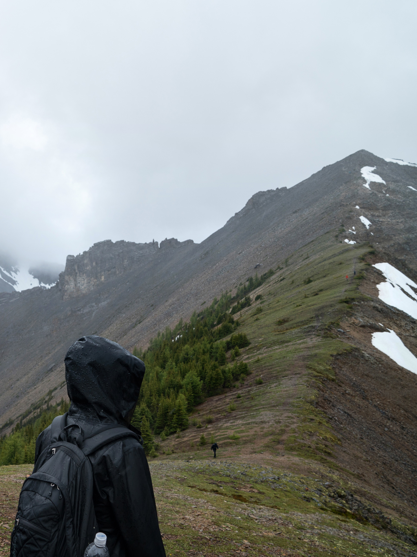
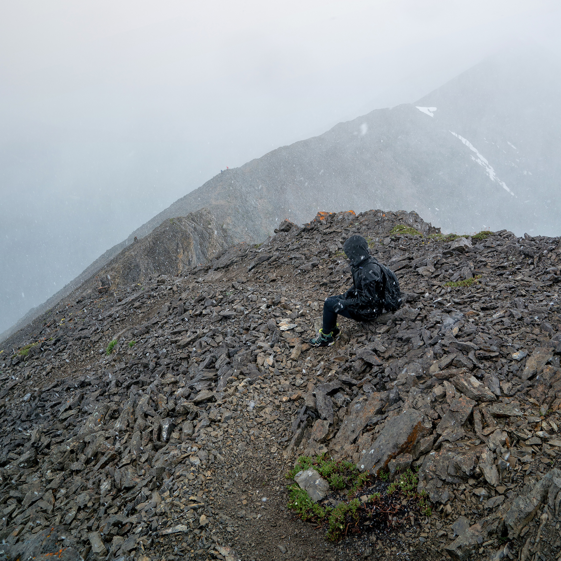
With the wind picking up, and the weather not getting any better, the rest of the hike was survival mode for us.
We didn't make many stops on the way down from Tent Ridge.
Heading through the forest on the way back down to our car, there were plenty of steep, muddy sections where our poles and microspikes came in handy.
Looking back at this hike, the severe weather was a great experience, and it got us ready for the trails in Patagonia later in the year.
Directions
Parking for the Tent Ridge hike is alongside Mount Shark Road, near the Mount Engadine Lodge and about an hour driving from Canmore, Alberta.
Road alerts can be found on the 511 Alberta website.
1
Trailhead: 50.84455, -115.35480
2
Weather Station: 50.82189, -115.36264
3
Tent Ridge: 50.82032, -115.37366

More Stories