Washington · July 2014
Hike Summary
Distance:
9-10.5 miles out and back
Total Elevation Gain:
2,600 ft
Starting Elevation:
4,250 ft
Highest Point:
6,600 ft
Hike Time:
6 - 8 hrs
Difficulty:
Difficult
Seasons:
July - October
Dogs:
Not Allowed
Pass Required:
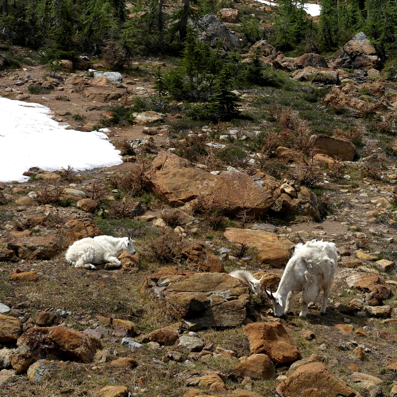
A hike to Lake Ingalls takes you through an amazing variety of landscapes to an edge of the Alpine Lakes Wilderness where wild goats and deer are commonly spotted.
It is a popular destination in the Fall, when the weather starts to be more comfortable and the larches illuminate the meadows with their yellow leaves.
I had attempted to reach Lake Ingalls twice in previous years.
On my first try, I was too lazy to go beyond Ingalls Pass, even though the destination was across the Headlight Basin.
My second trip was too early in the season, with snow on the trails making it dangerous to navigate the final rocky scramble up to the lake.
For this trip, I debated the timing and waited until late July to give it another shot, when much of the snow in the Alpine Lakes Wilderness beyond Ingalls Pass should have melted away.
It can get hot here in the middle of summer, and there is not much shade for most of the way, so it is essential to bring a hat and plenty of sunscreen.
It is also easy to go through 2-3 liters of liquid on this trail, and you can bring a water filter if you don't feel like lugging it all up with you.
Starting in a sparse forest next to the Teanaway River, you will proceed on a miner's path and reach the signed intersection with the Longs Pass trail near the 2 mile mark.
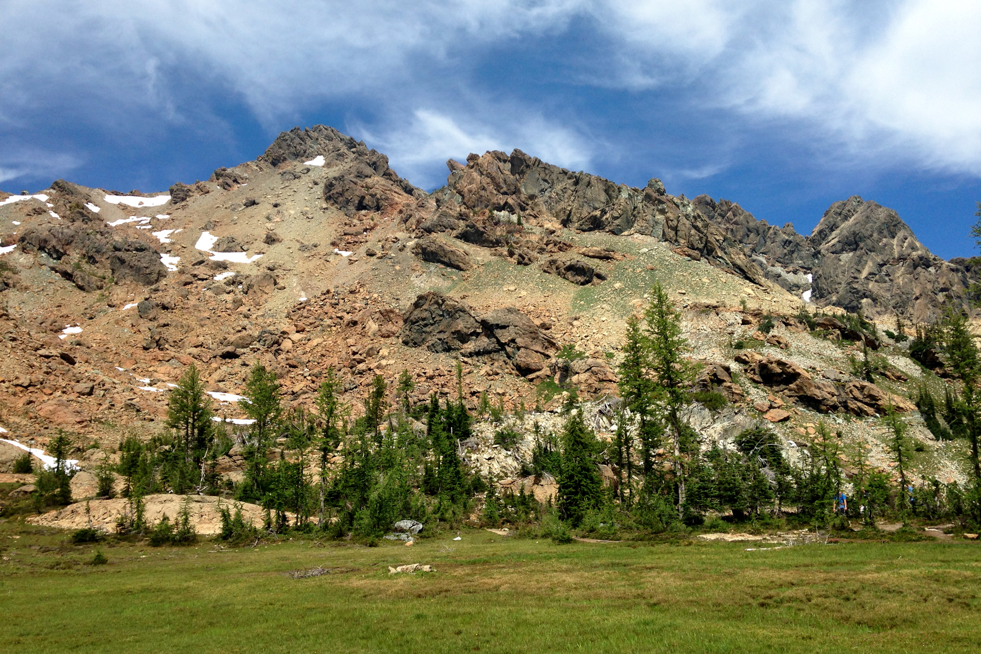
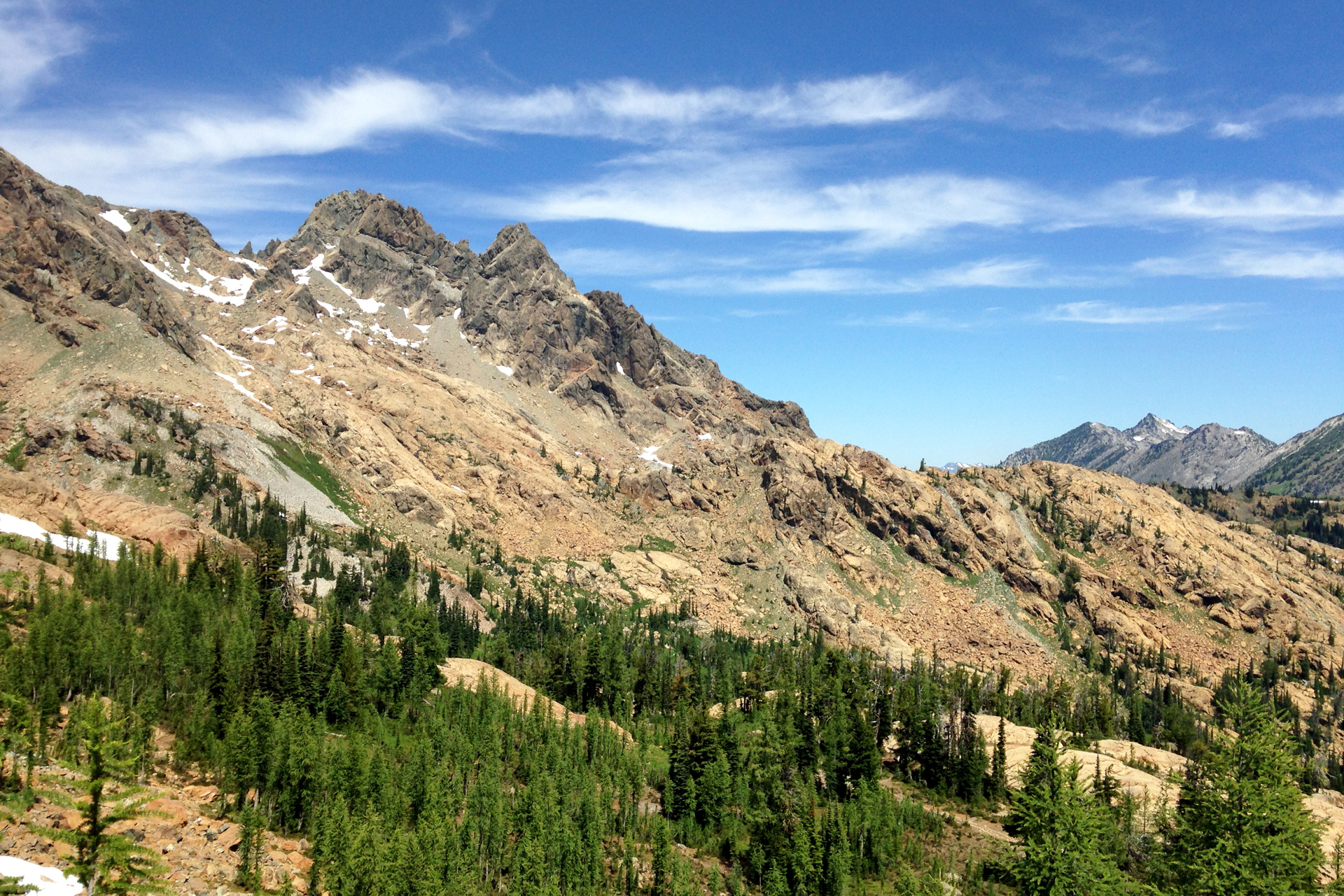
Above the tree line, you will have wide-open views of the Esmeralda Peaks across the valley.
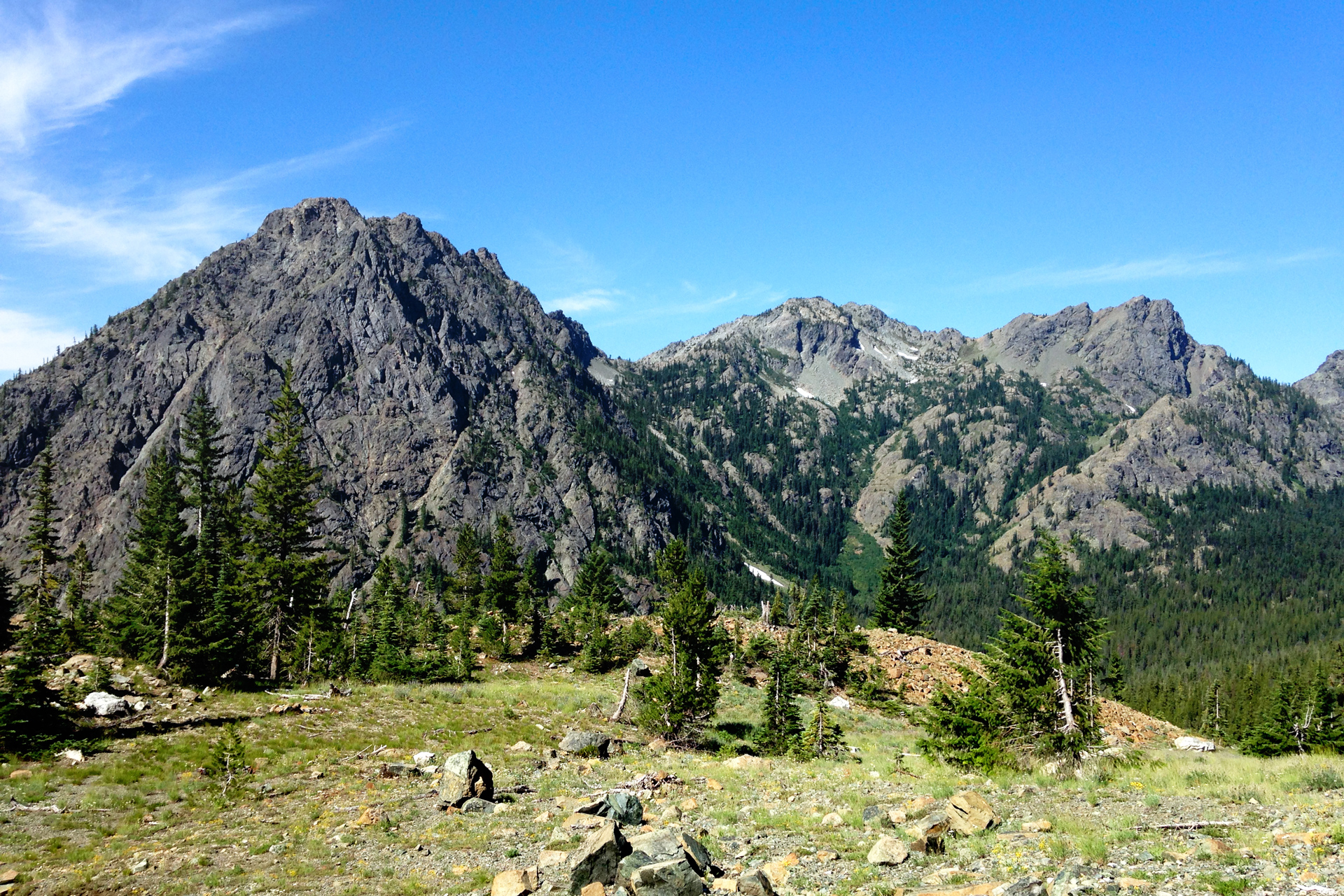
Views of the Esmeralda Peaks across the valley
Following the contours of the trail, you will be crossing a large rock chute, and further up, there are some colorful rock formations.
Mt. Stuart appears to the northeast after reaching Ingalls Pass around the 3.5 mile mark.
Dogs are not allowed beyond this point.
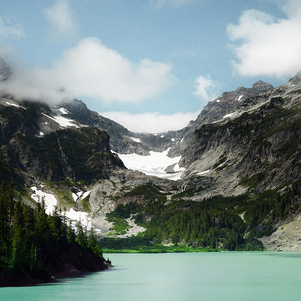
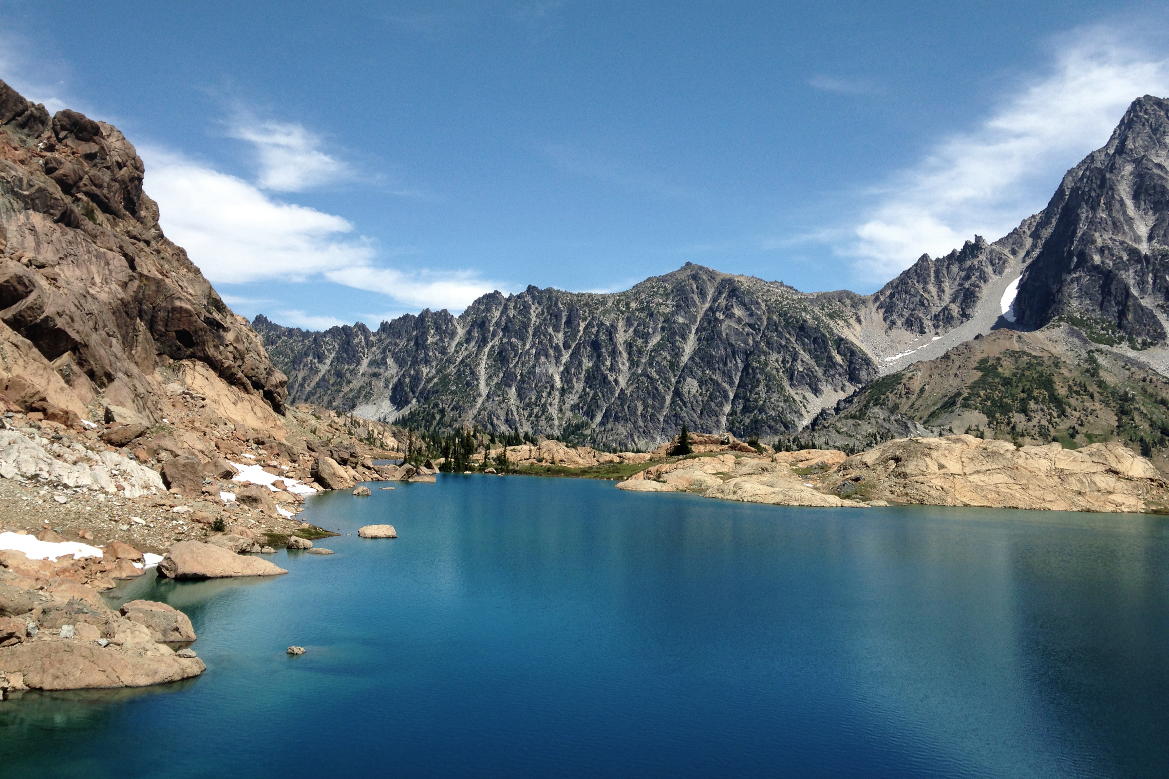
Looking north, the valley below you is the Headlight Basin.
Lake Ingalls hides behind a rocky rim at a higher elevation on the other side.
Dropping down the north edge of Ingalls Pass, you will head west, following the arc around the Headlight Basin about a half mile to a meadow of larches.
There is a stream here where you can replenish your water supply.
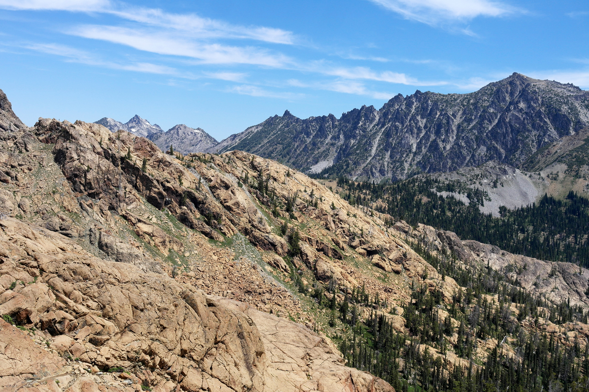
Heading west around the Headlight Basin
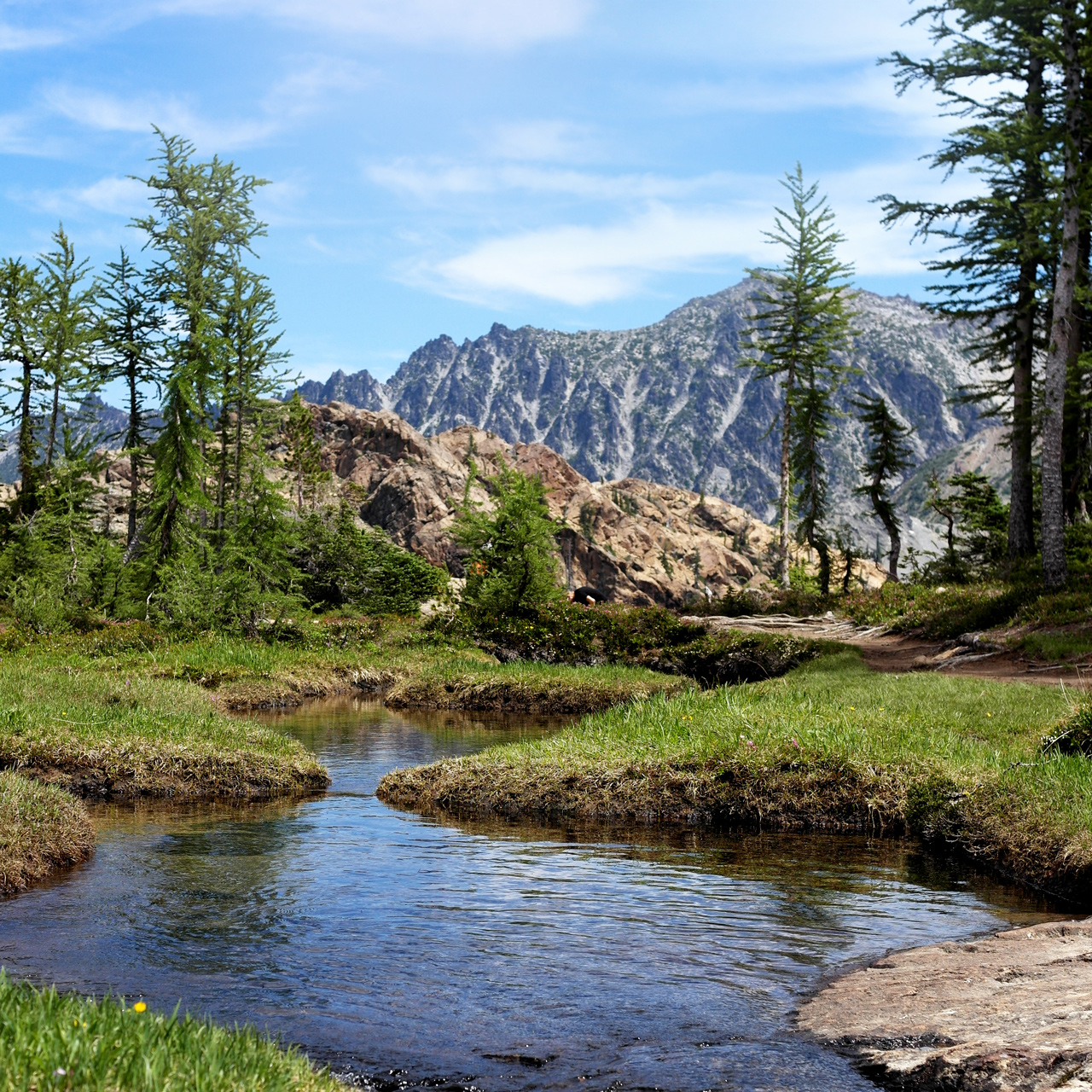
A meadow at the edge of the Headlight Basin
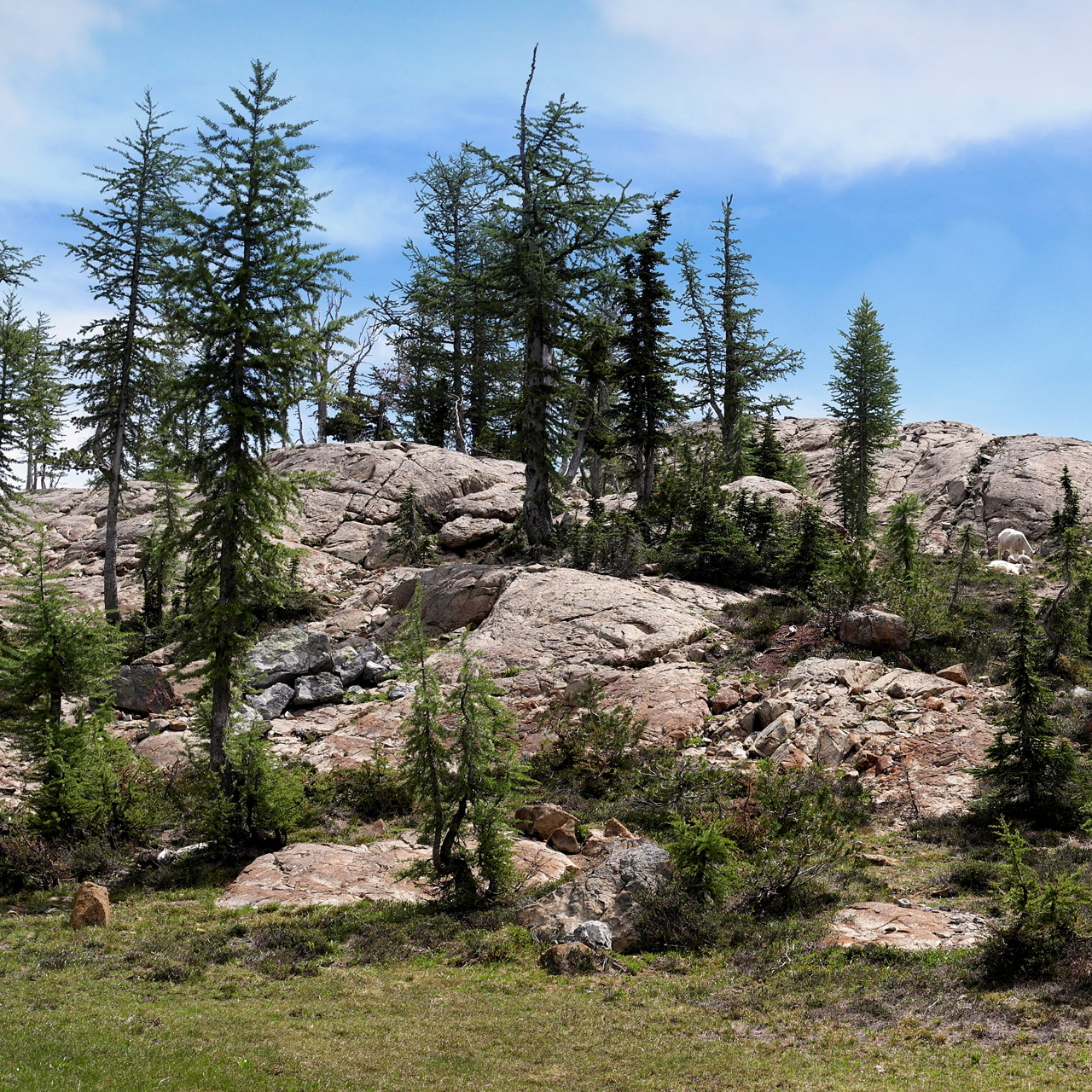
The path along the final section of the hike can be unclear, but in the summer months, it is likely there will be other hikers in the area heading the same direction.
Proceeding past the boulder field to the north, you will have to scramble up a steep, rocky section northeast towards a gap in the rim of Ingalls Peak above you.
Loose scree can be an issue, so it's best to keep some distance.
Looking up at Ingalls Peak
Once you arrive at Lake Ingalls, you can walk around it in either direction, adding about 1.5 miles to a 9 mile roundtrip hike.
Going clockwise is more clear-cut and gives you the best views of Mt. Stuart to the east.
Looking north across Lake Ingalls
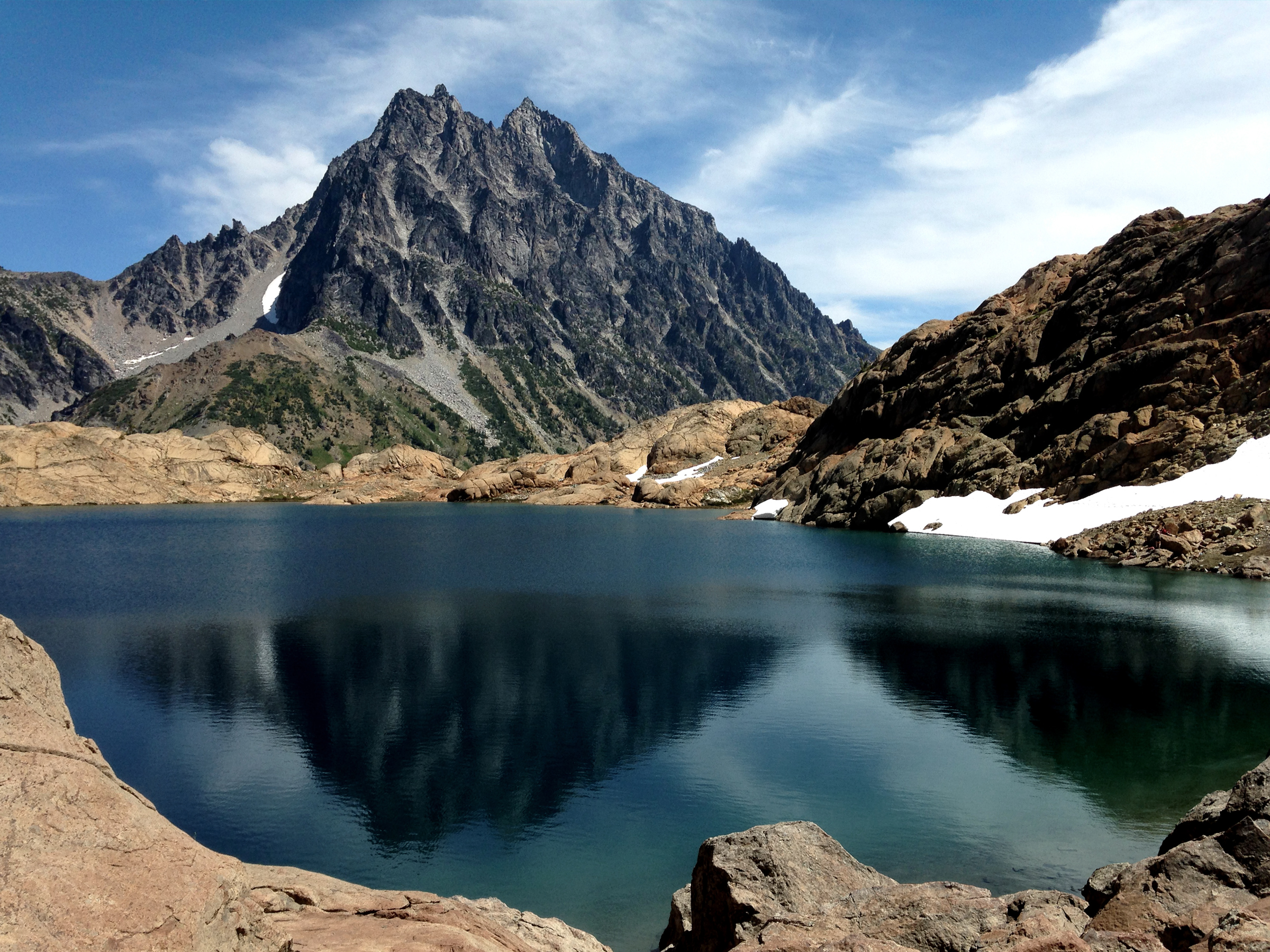
Lake Ingalls with Mt. Stuart in the background
Towards the end of the loop, you will encounter a large rock mass blocking your exit back to the south edge of the lake.
There is a gap just east of the rock mass, which appears like a tempting exit from the lake, but there is no clear way down from there.
The best way across is to boulder over the hill.
I had made the mistake of attempting to skirt the lake's edge to round the rock mass, but eventually, I hit a vertical section which would have been dangerous to climb.
Instead of heading back, I chose to swim across a short section of the lake and destroyed my camera and phone in the process.
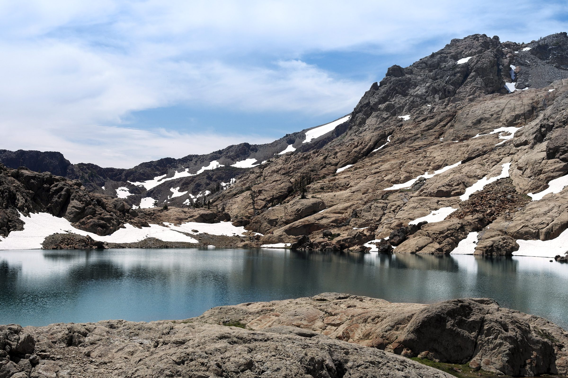
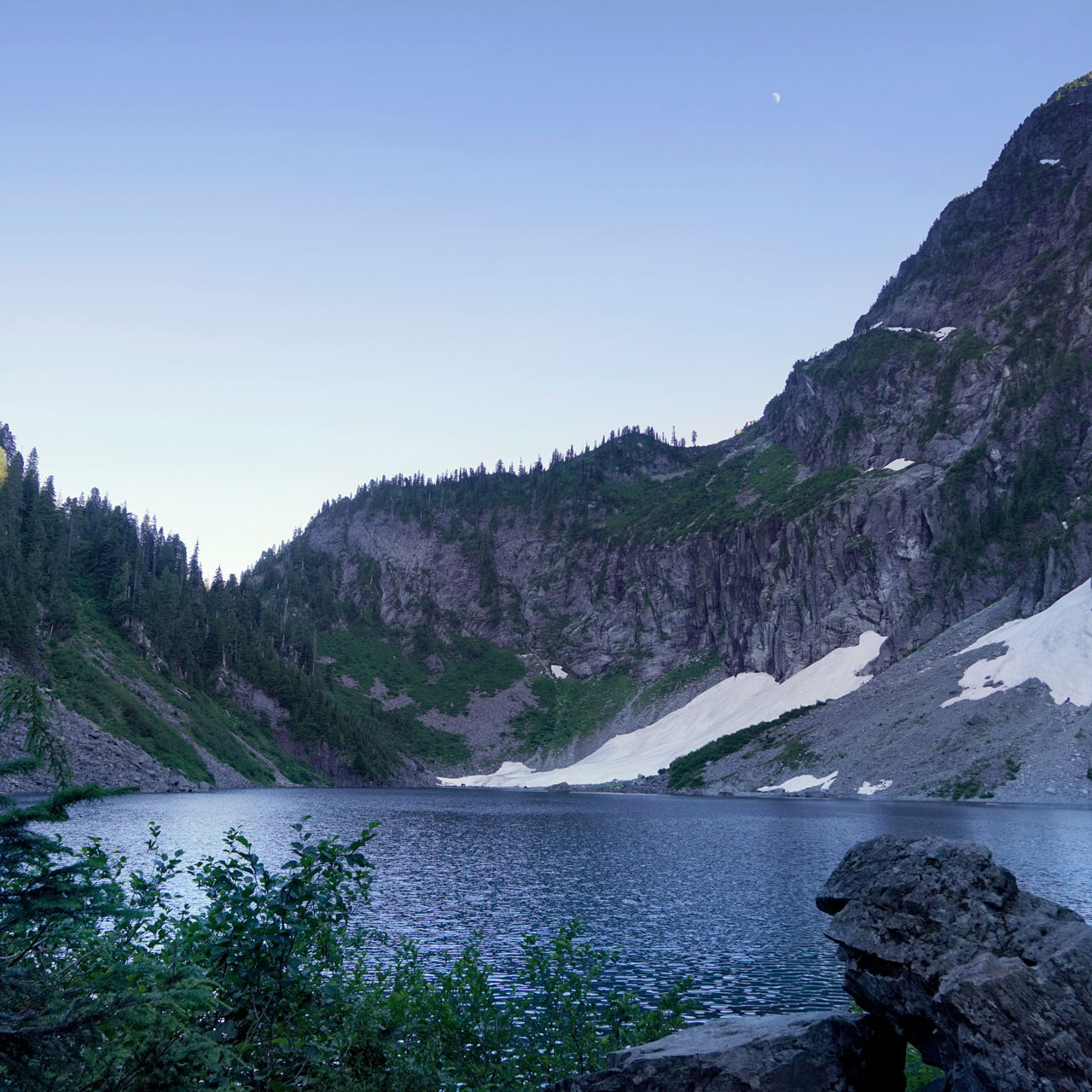
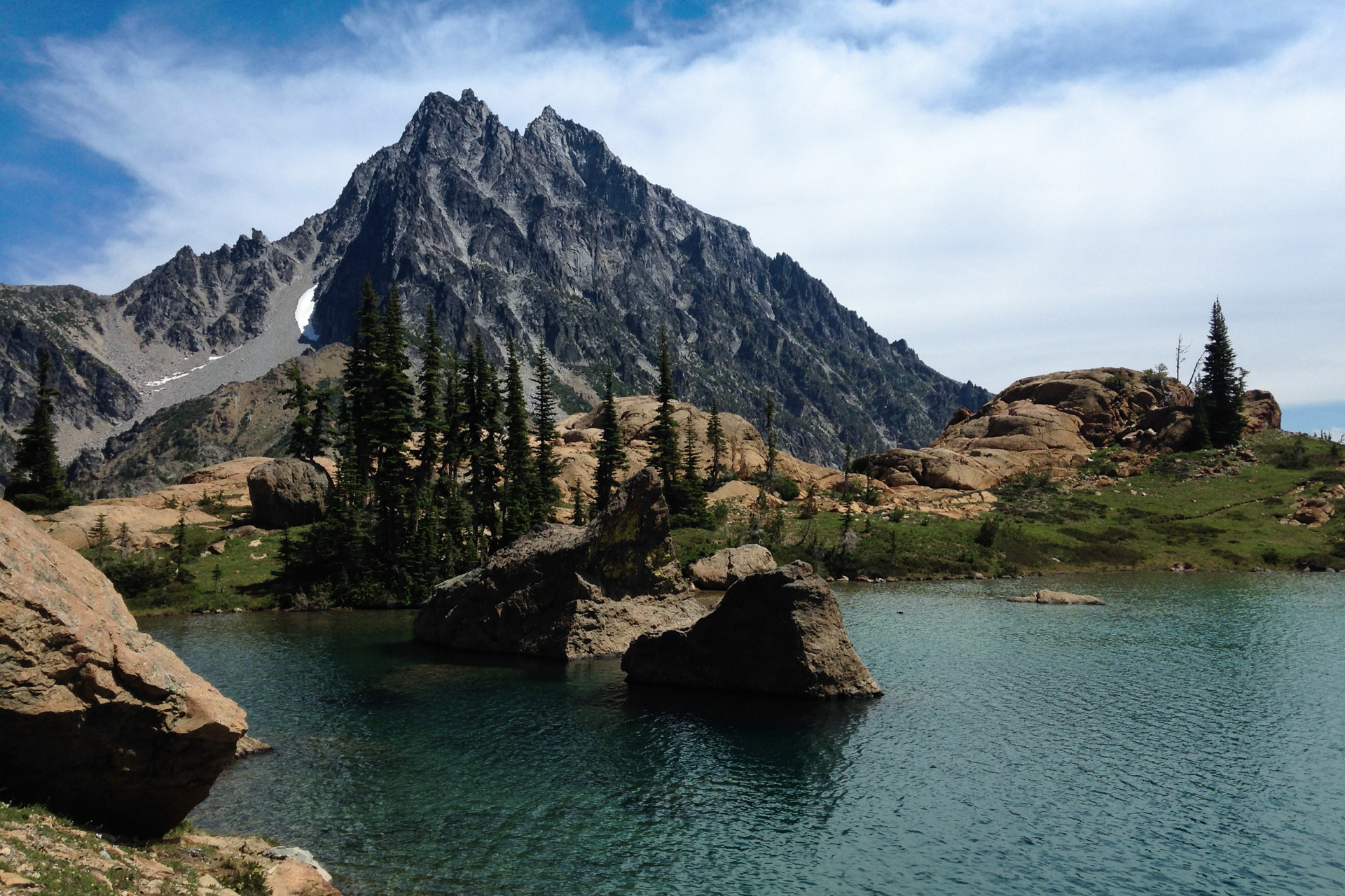
Snow along the south edge of Lake Ingalls, and Ingalls Peak to the right
Directions
From Seattle, head east on I-90 past Cle Elum.
Follow the signs to WA-10/WA-970 north towards Wenatchee, then turn left onto Teanaway Road.
Stay on the road for 13.1 miles, then take the right fork onto NF-9737.
In 1.3 miles, take the left fork after passing Stafford Creek to stay on NF-9737.
The road forks again in 2.4 miles, and you will keep left to continue on NF-9737.
At 0.7 mile mark, past the Beverly Campground, stay right at another fork to continue of NF-9737.
The trailhead will be 5.1 miles to the north from there.
1
Trailhead: 47.436733, -120.937038
2
Ingalls Pass: 47.459237, -120.935144
3
Lake Ingalls: 47.469023, -120.940069

More Stories