Washington · August 2014 & September 2017
Hike Summary
Distance:
13.5 miles out and back
Total Elevation Gain:
3,725 ft
Starting Elevation:
1,920 ft
Highest Point:
4,640 ft
Hike Time:
7 - 9 hrs
Difficulty:
Difficult
Seasons:
July - October
Dogs:
Allowed on Leash
Pass Required:
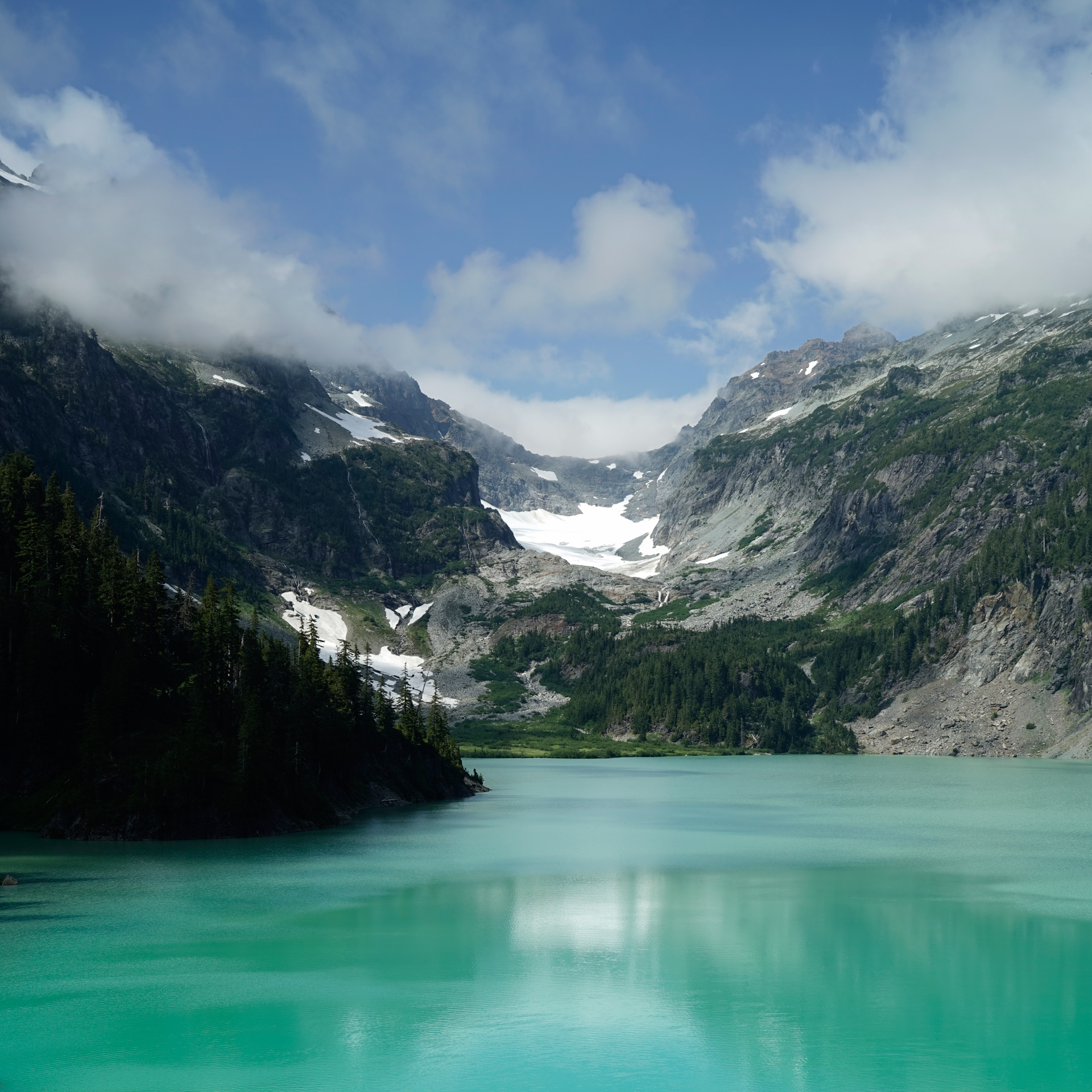
Blanca Lake is near the top of my list of favorite hiking destinations in Washington State.
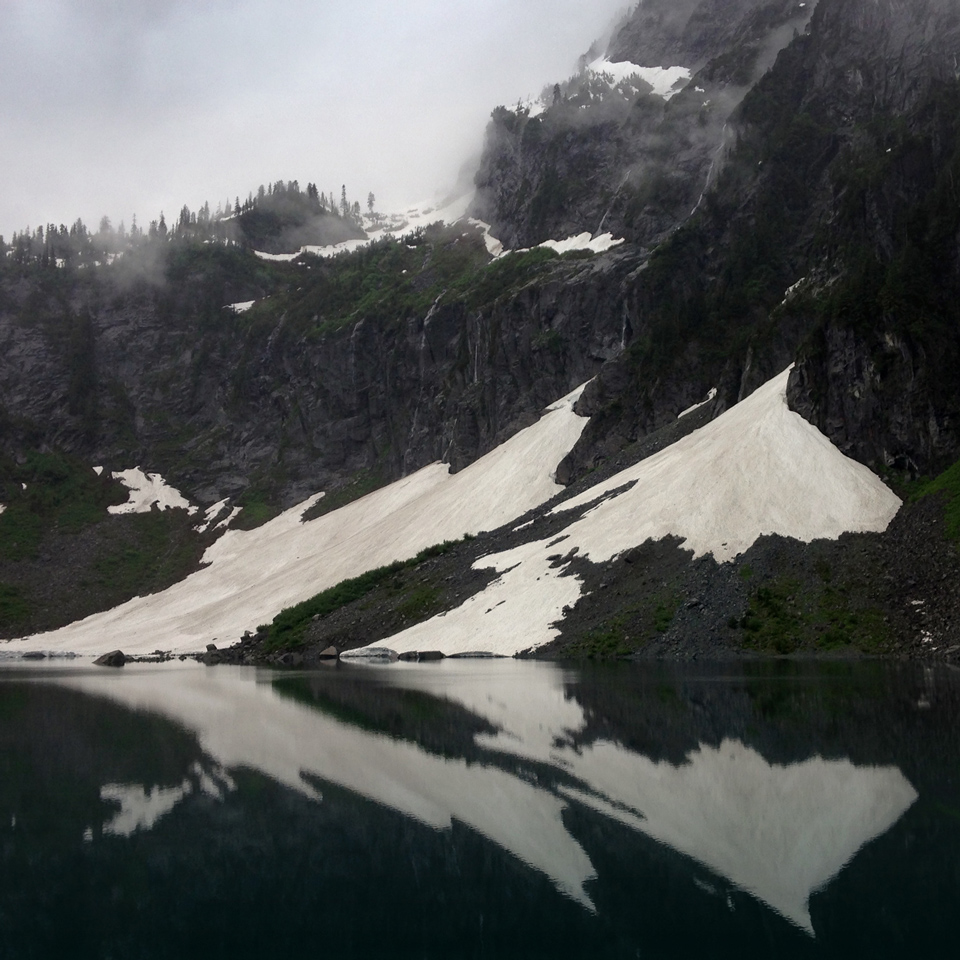
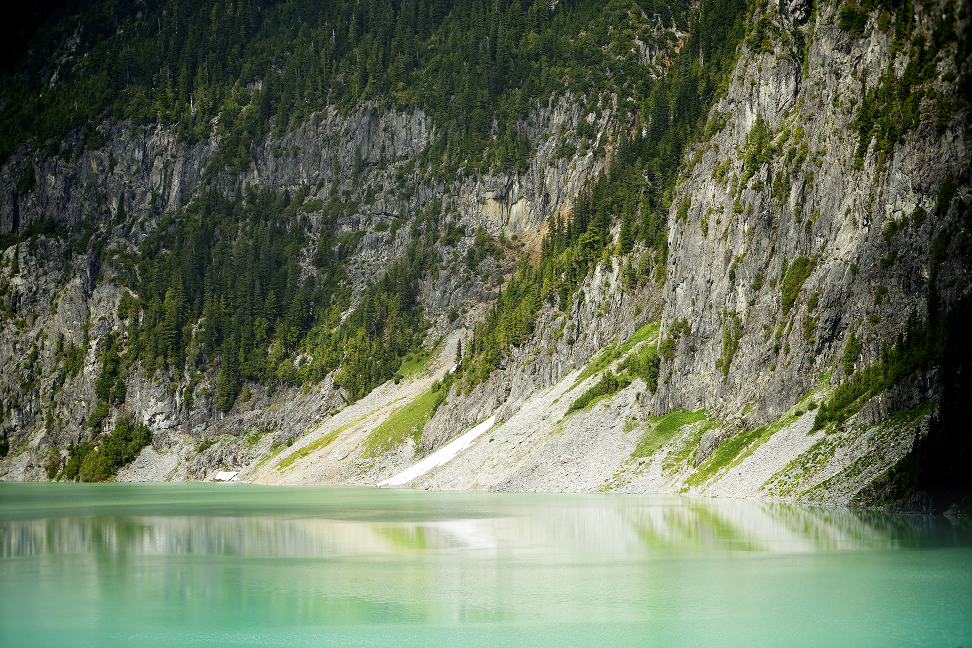
The milky turquoise green color of the lake comes from rock flour scraped by the Columbia Glacier, floating between Columbia Peak and Kyes Peak across the valley.
It is made more stunning by a hard vertical march and the way the trail hides the scenery until its final moments.
The trailhead is located only 2 hours drive from Seattle, making this a very popular hike despite its difficulty.
Recent washouts have rendered the original starting point inaccessible, so the hike now requires an additional 2.25 miles of walking along a relatively flat road to begin the hike.
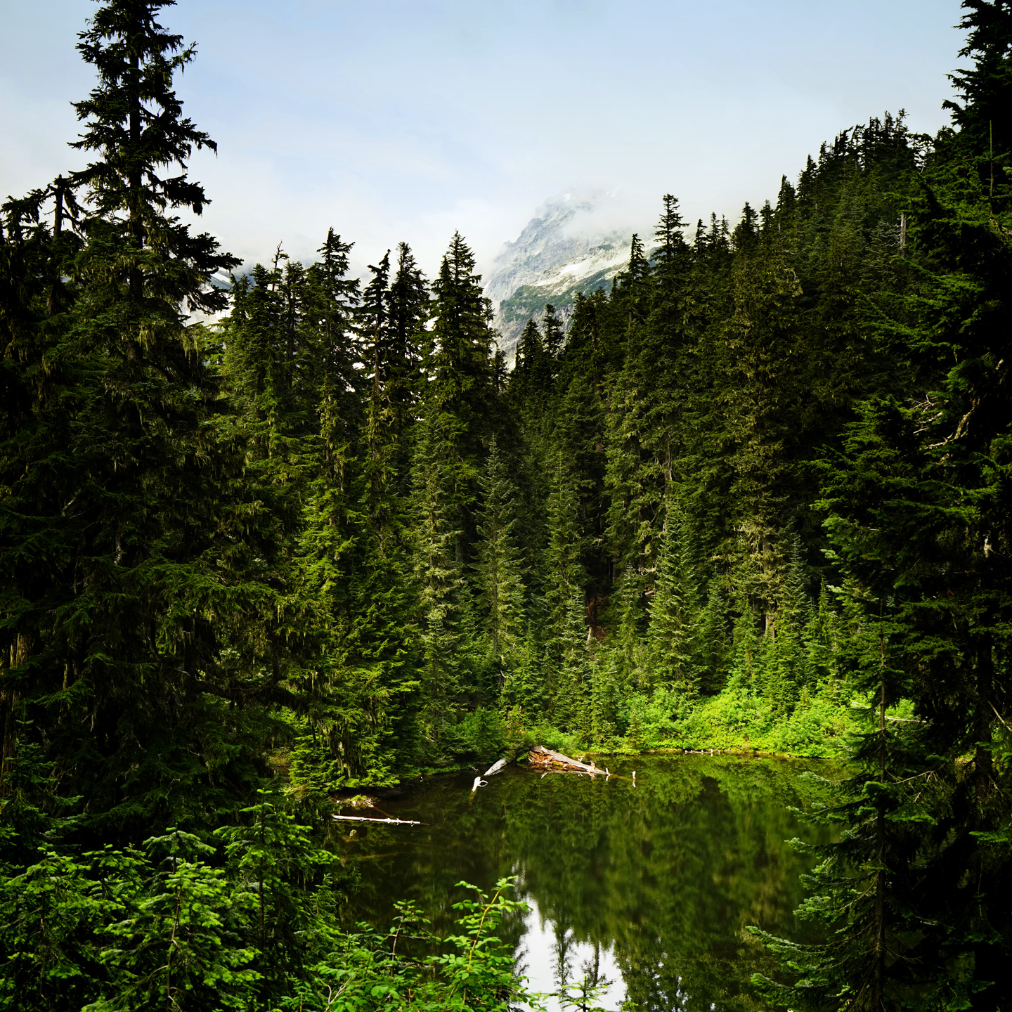
The trail to Blanca Lake starts under the thick cover of trees, and it ascends quickly over 2,700 vertical feet of switchbacks in the first 3 miles.
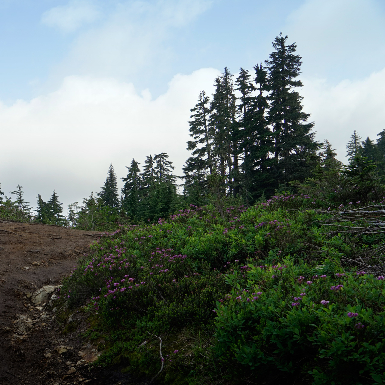
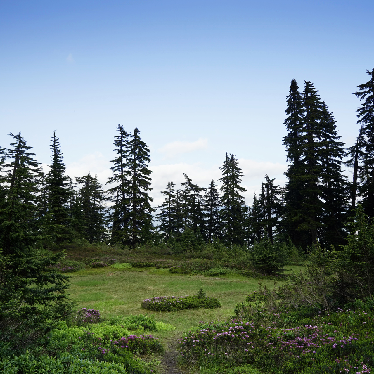
Eventually, you will reach a ridge and a meadow where the sky opens above you.
Nearby is Virgin Lake, and from there, the trail descends 600 vertical feet down an often slippery path before reaching a surprise view of Blanca Lake.
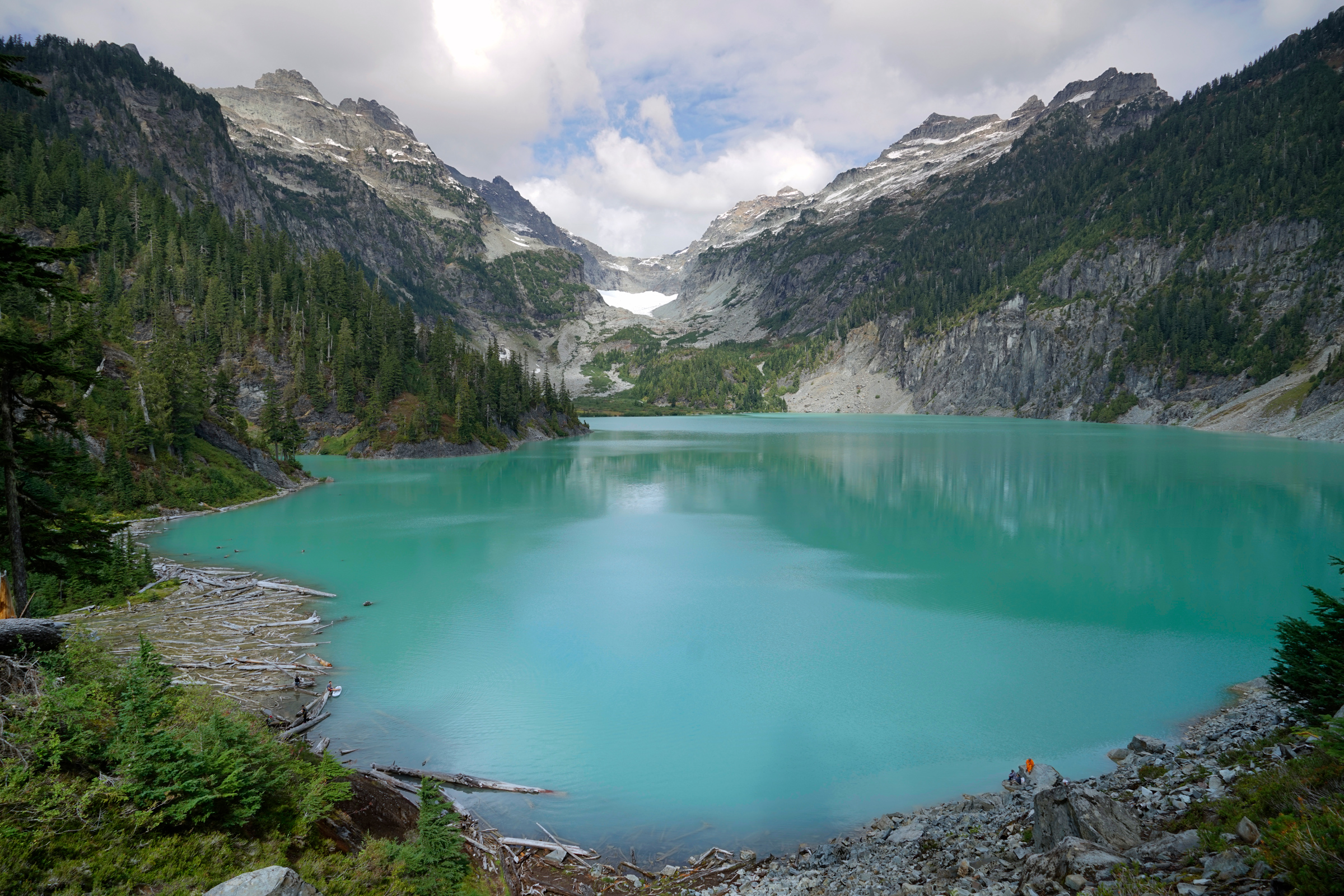
A view of Blanca lake after emerging from the forest canopy
Directions
Blanca Lake is located west of Stevens Pass.
Before heading to this hike, check the conditions of the road to the trailhead.
The original trailhead has been rendered inaccessible due to a washout on the final stretch road, so the ordinarily 9-mile roundtrip hike is now 13.5 miles.
From US Highway 2, head north on Beckler Road for 7 miles. After crossing Beckler River, turn right at the intersection with NF-6540 to continue north on NF-65 for 5.4 miles. At the circular 5-way intersection of Jack Pass, make a left turn to continue west on NF-65 for 1.2 miles. At the fork with NF-6580, you will bear left to continue on NF-65 for another 1.1 miles until it intersects with NF-63. This is where the road closure is located. Walk right onto NF-63 and continue for 2.25 miles to the original parking area to start the hike.
From US Highway 2, head north on Beckler Road for 7 miles. After crossing Beckler River, turn right at the intersection with NF-6540 to continue north on NF-65 for 5.4 miles. At the circular 5-way intersection of Jack Pass, make a left turn to continue west on NF-65 for 1.2 miles. At the fork with NF-6580, you will bear left to continue on NF-65 for another 1.1 miles until it intersects with NF-63. This is where the road closure is located. Walk right onto NF-63 and continue for 2.25 miles to the original parking area to start the hike.
1
Road Closure: 47.890498, -121.332197
2
Trailhead: 47.915331, -121.312525
3
Blanca Lake: 47.934353, -121.341355

More Stories