Washington · July & September 2014
Hike Summary
Distance:
7.2 miles out and back
Total Elevation Gain:
1,800 ft
Starting Elevation:
3,120 ft
Highest Point:
4,400 ft
Hike Time:
3.5 - 4.5 hrs
Difficulty:
Moderate
Seasons:
June - October
Dogs:
Allowed on Leash
Pass Required:
There are several “Snow Lake” hikes in Washington, including the Snow Lakes Trail to the Enchantments in the Central Cascades Range or the Bench and Snow Lake Trail at Mt. Rainier National Park.
This one, located near Snoqualmie Pass, is the most popular lake destination in the Alpine Lakes Wilderness area.
The trailhead can be reached by driving less than one hour east of Seattle, and there is a generous amount of parking at the Alpental Ski Area.
If you can put up with the weekend crowds along the trail, there are many areas on the lake edge to claim as your own.
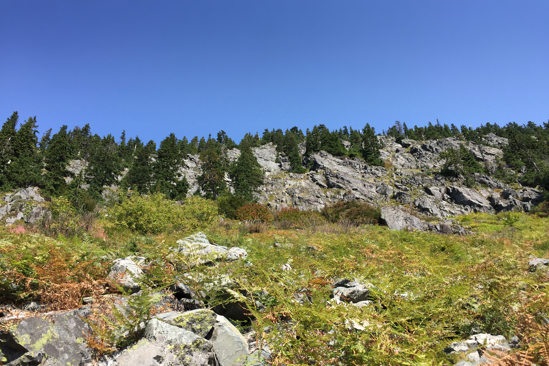
The beginning of the hike pushes quickly into the forest, and the initial ascent is moderate.
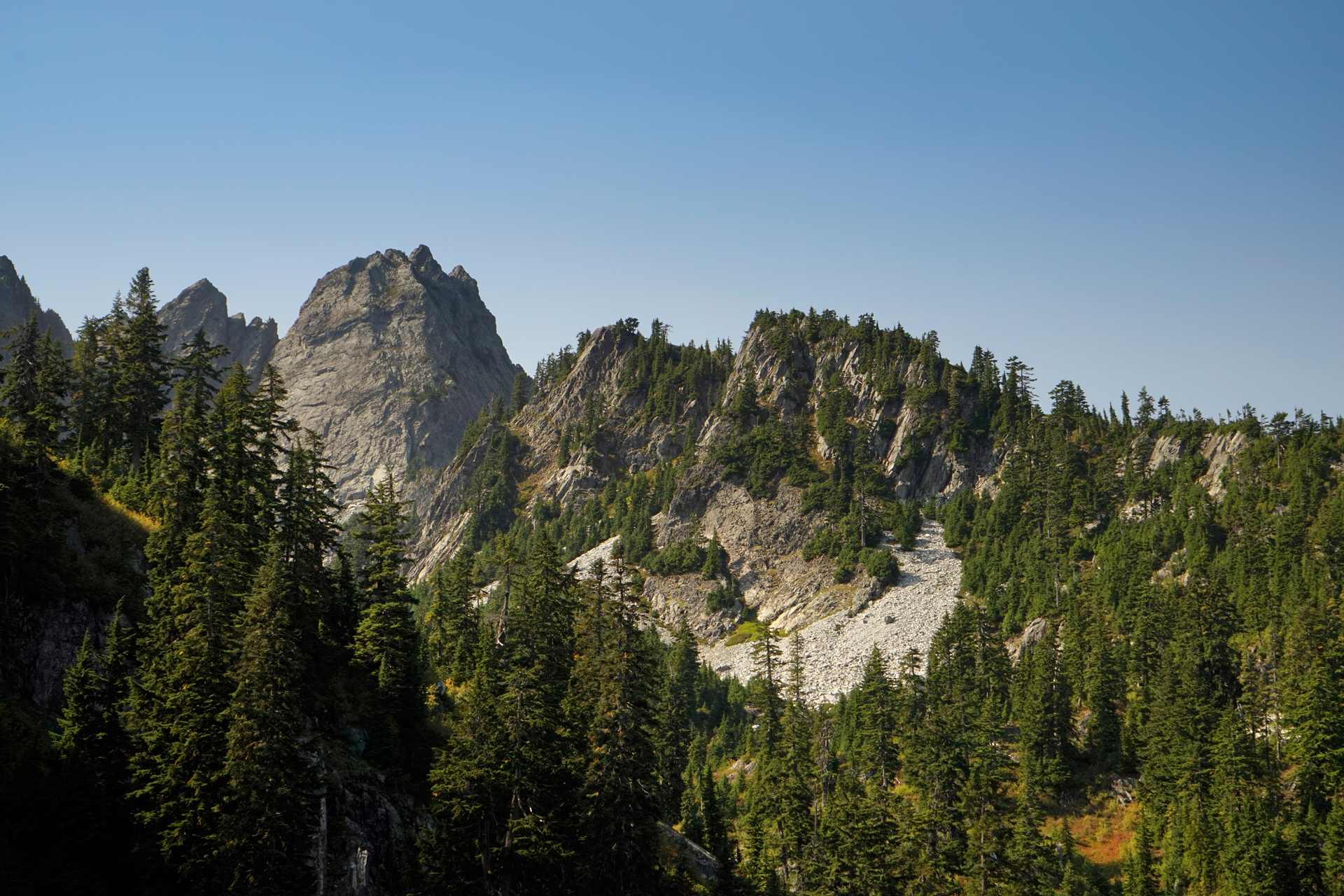
In about a mile, you will reach a level clearing and navigate past a rugged, sloped area of talus.
A short distance past the rock field, the trail climbs steadily.
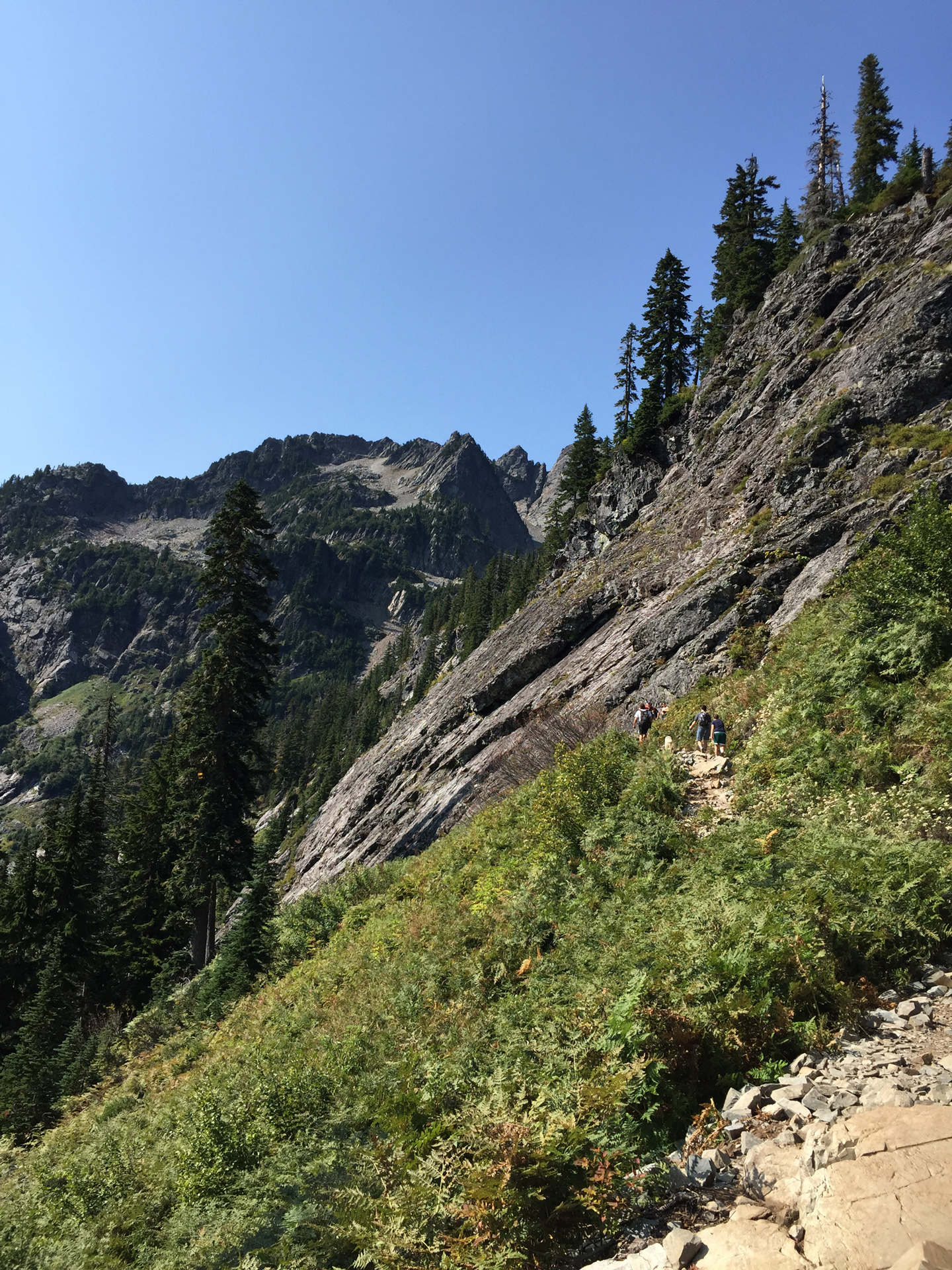
Above the tree line, you can enjoy the views of the valley and the Alpental Ski Area behind you.
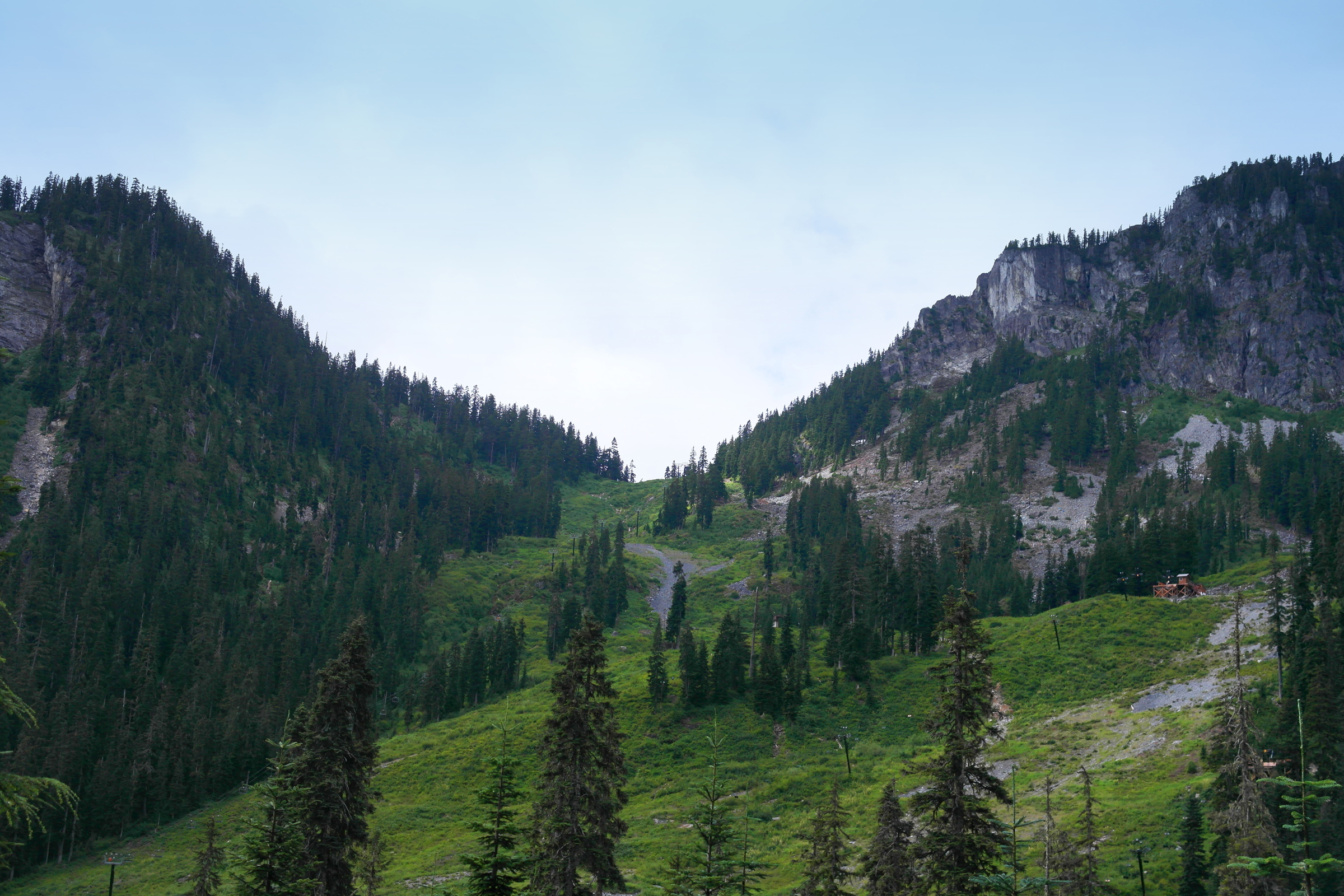
Alpental Ski Area, from the trailhead
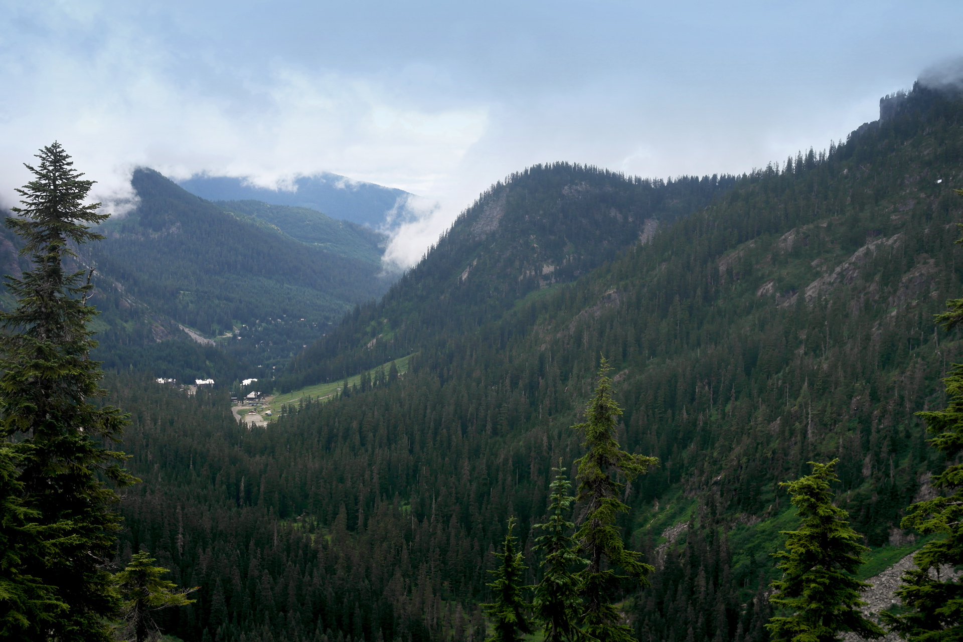
Views looking back at the South Fork Snoqualmie River Valley
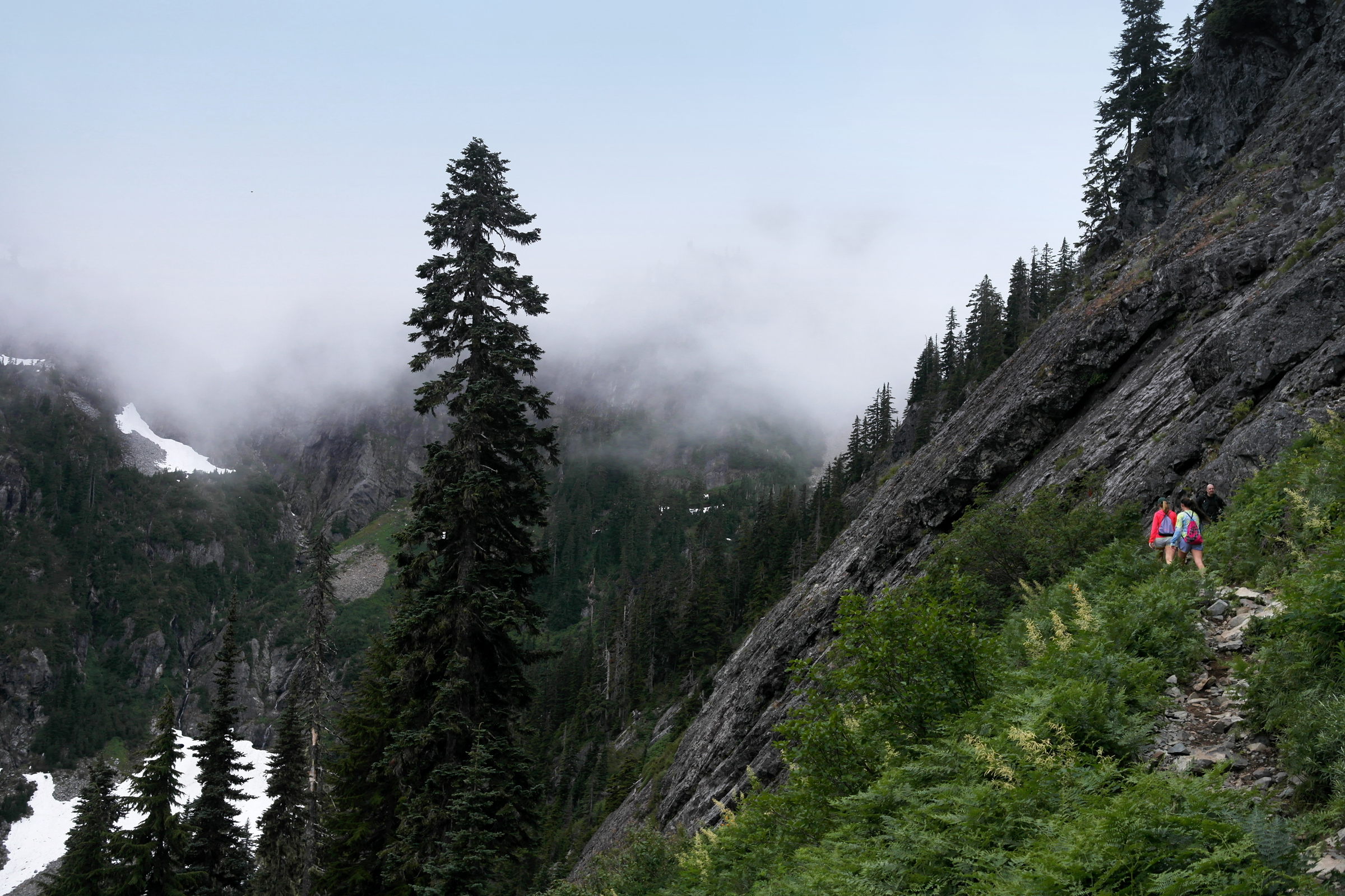
3/4 mile past the rock field, you will encounter a switchback where the trail splits.
Go straight west if you want to divert to Source Lake first.
Turn right, heading east, to continue on the main trail to Snow Lake.
Near the first major switchback, where the trail splits to Source Lake
The following 2/3 mile climbs about 500 feet up to the saddle above Snow Lake.
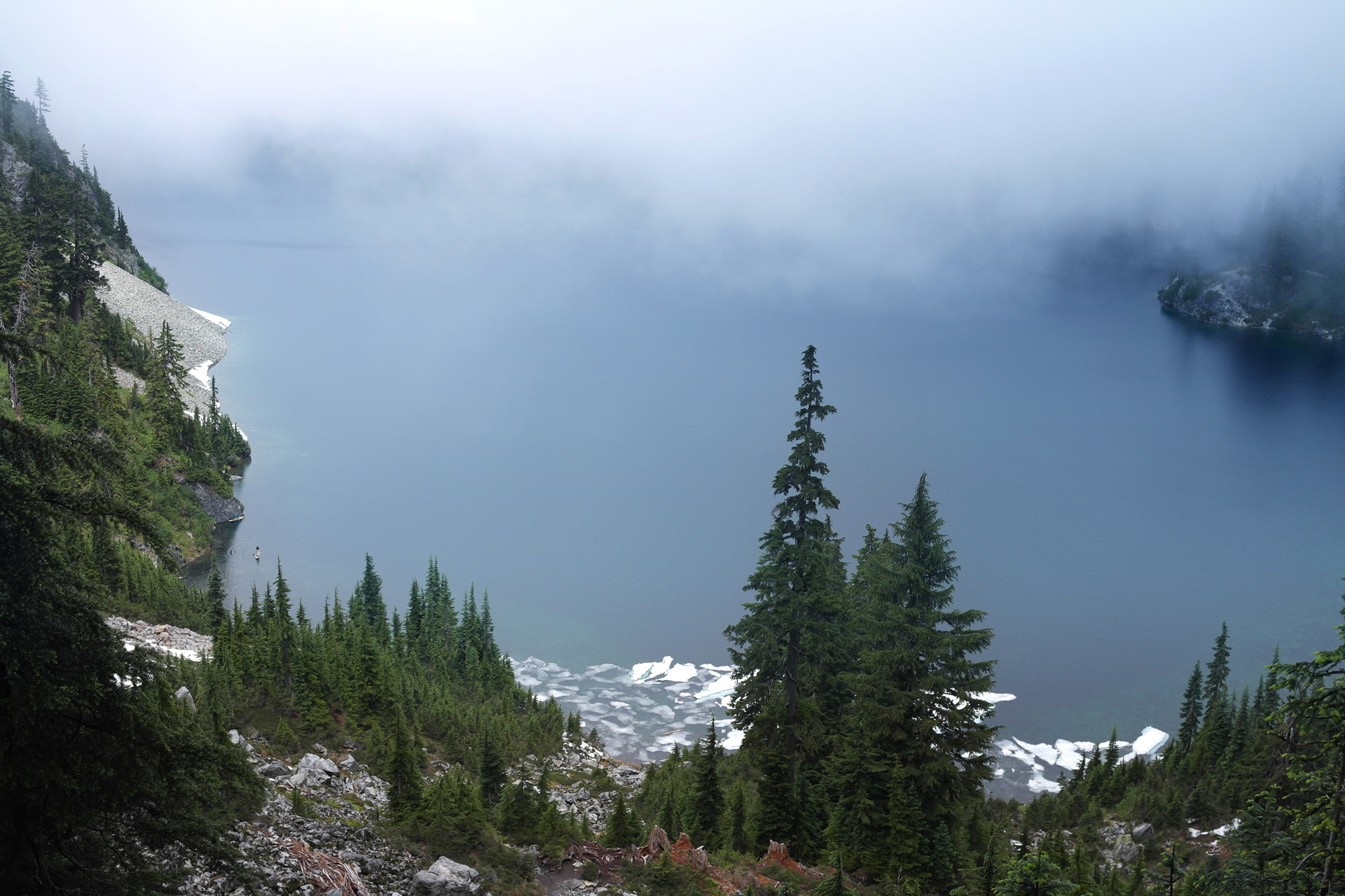
On the north side of the ridge, the weather can be very different, and the lake can be shrouded in fog even if it is clear leading up to the high point of the hike.
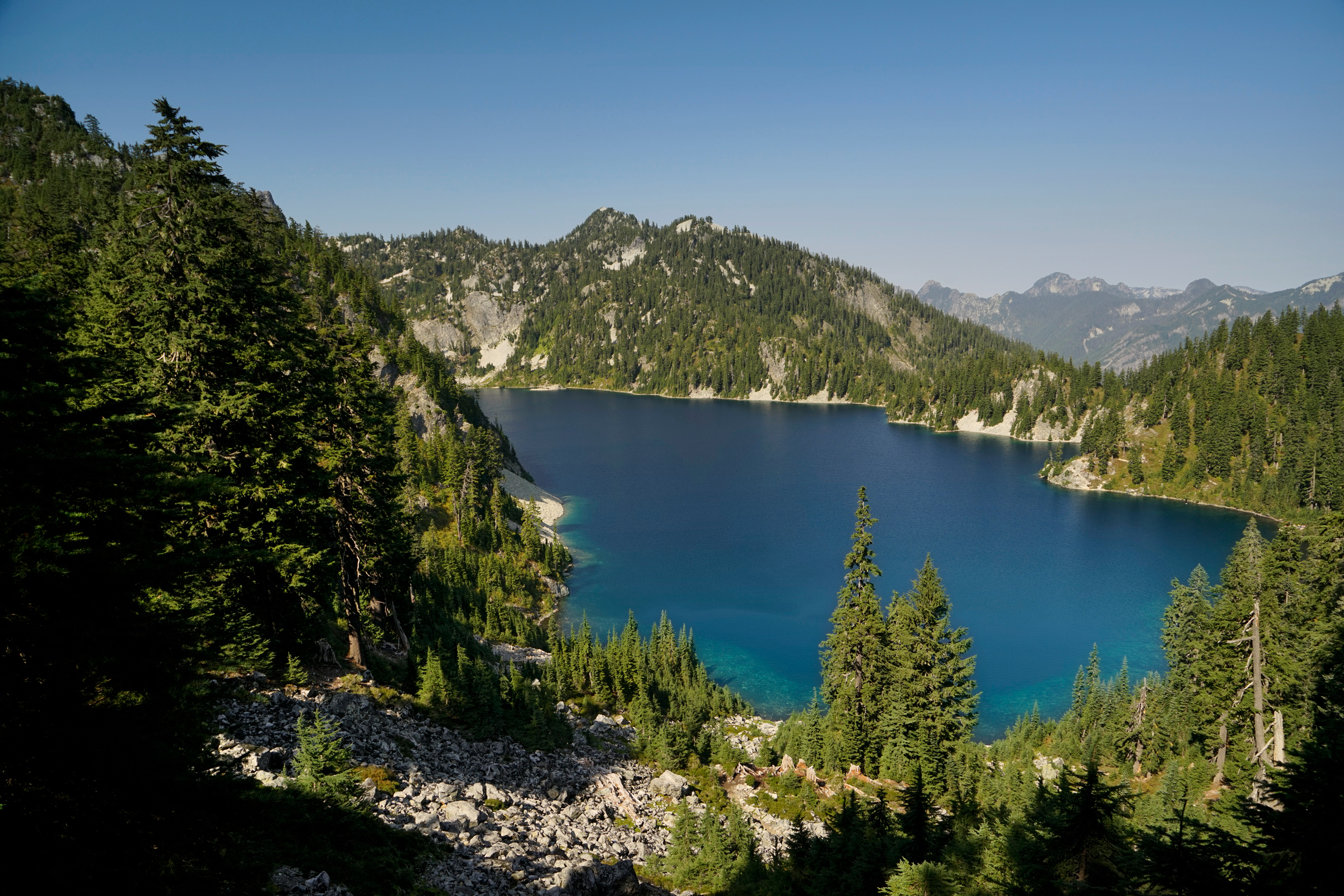
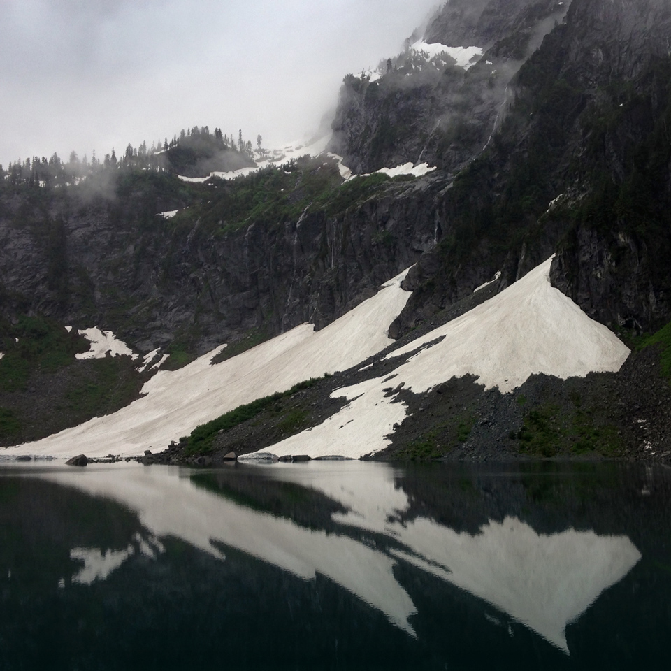
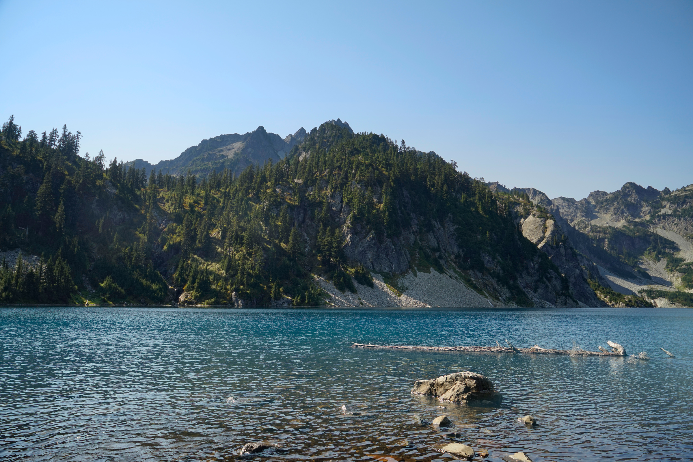
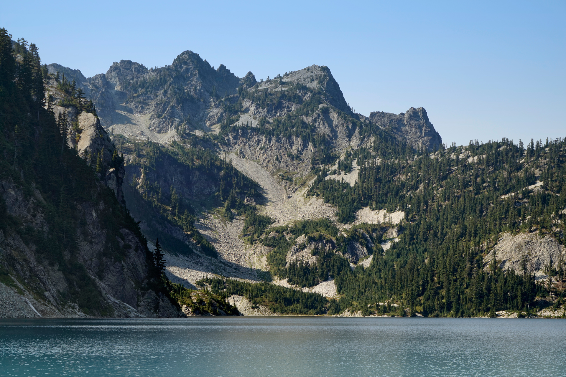
View of Snow Lake from the north slope
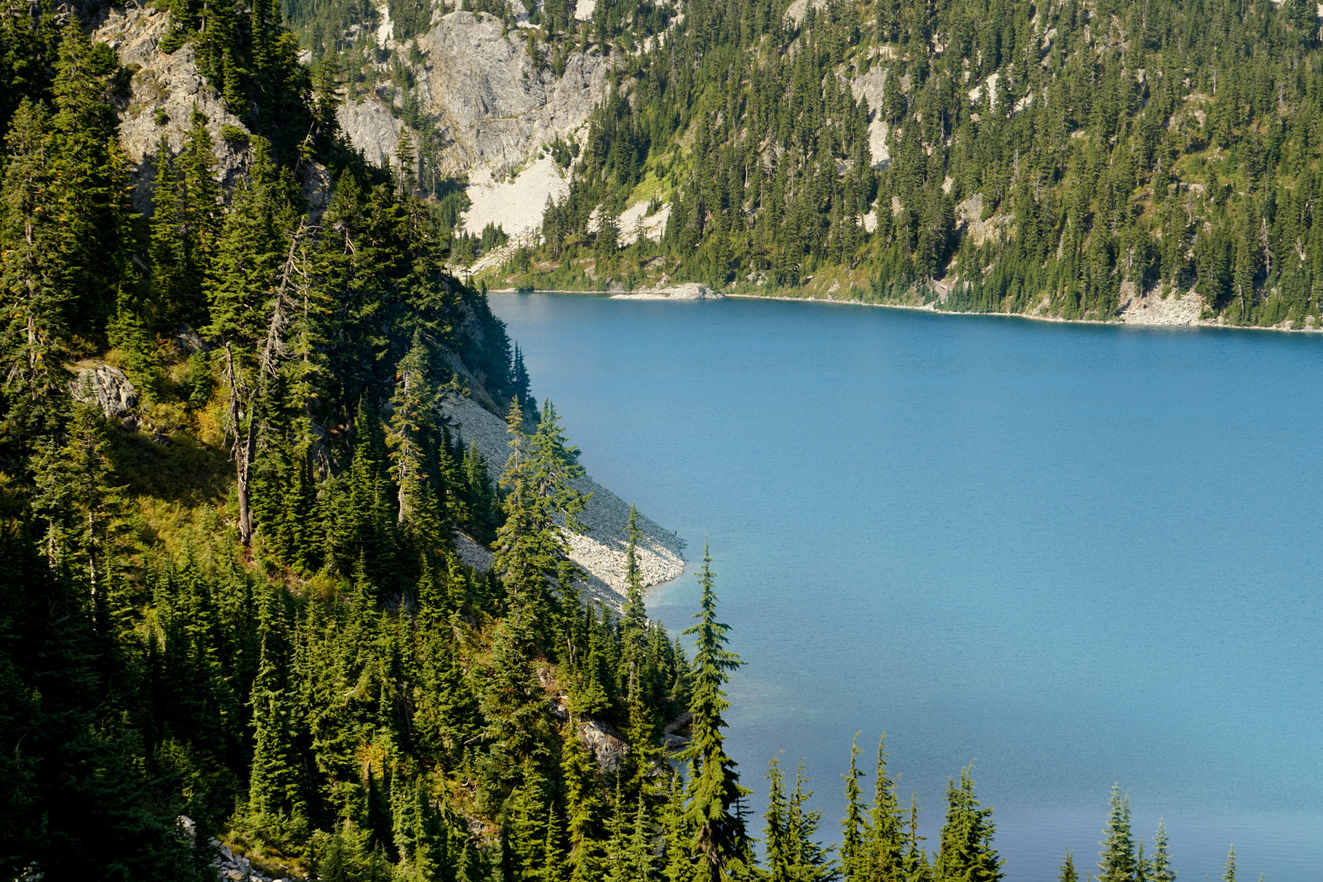
Following the trail down to Snow Lake, you will lose 400 feet of elevation.
This section is steep and can be difficult to navigate if there is snow on the trail.
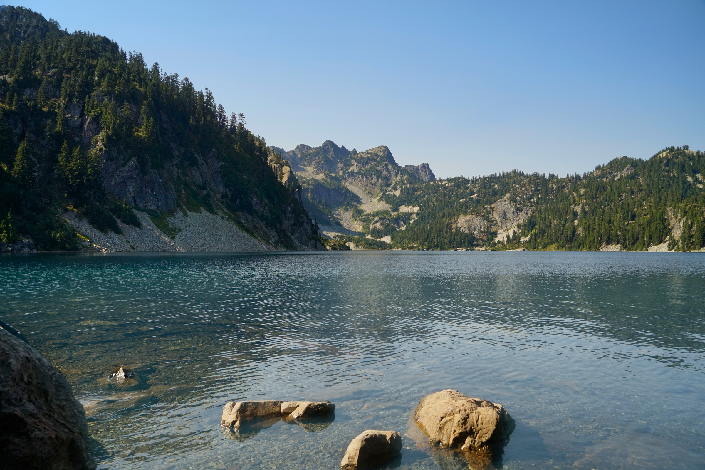
Eventually, you will cross a creek and reach a campsite.
There are plenty of spots along the shoreline to hang out, and the turn-around point is up to you.
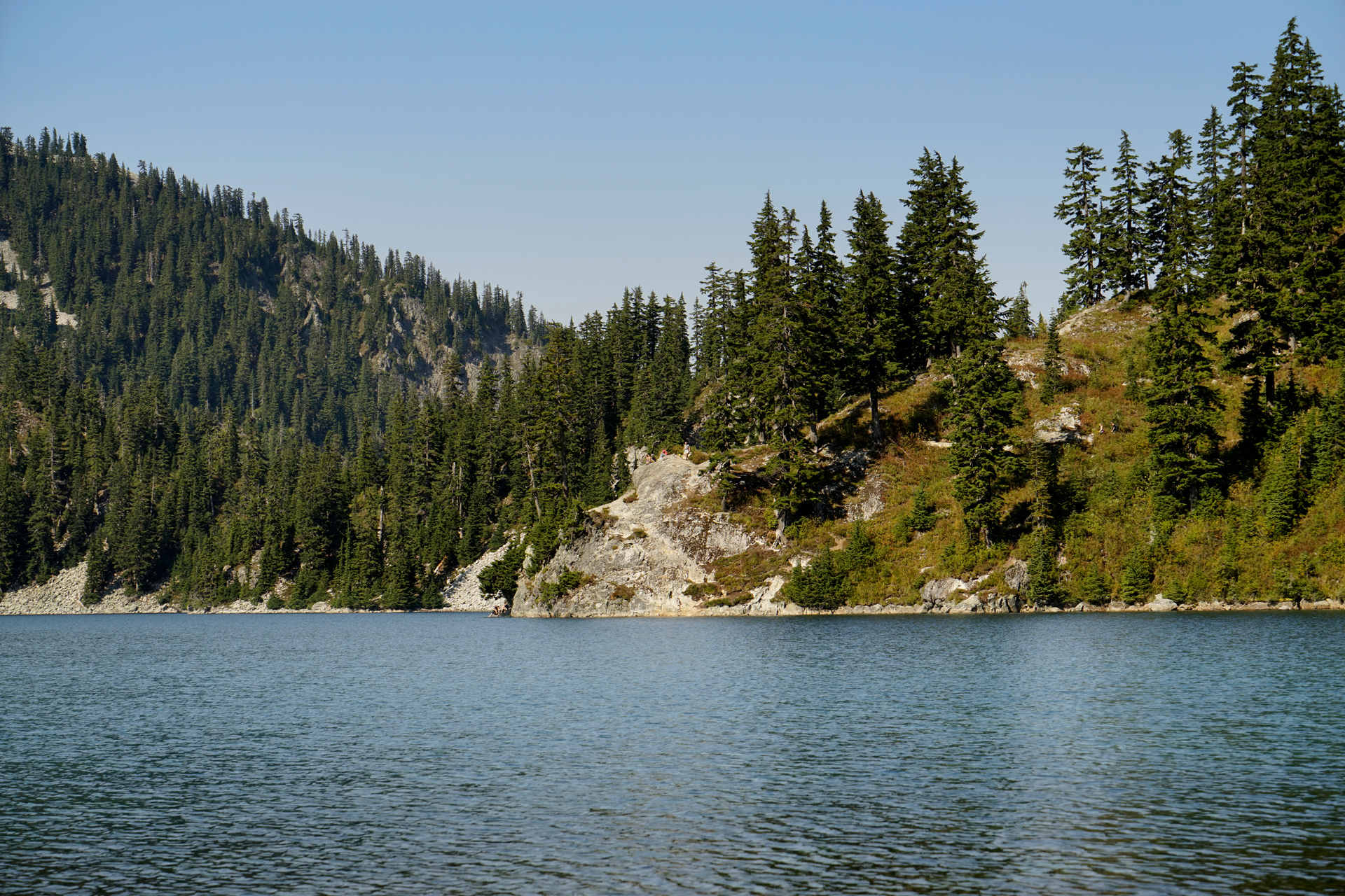
On the east bank of Snow Lake
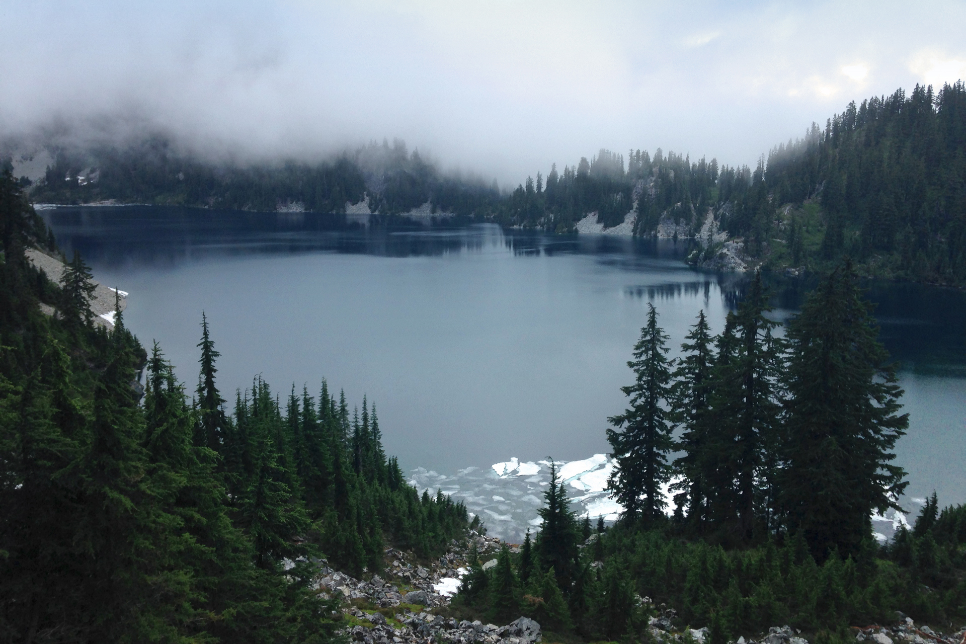
In The Fog
This area gets heavy precipitation, and snow can remain on the trail late into July.
On most of my trips to Snow Lake, I have experienced heavy fog and light rain beyond the northern side of the ridge separating Snow Lake from the South Fork Snoqualmie River Valley.
Directions
The trailhead is located near Snoqualmie Pass, Washington. From Interstate-90, head north on Exit 52, Erste Strasse (NF-9041) for 1.2 miles toward the Alpental Ski Area, just past the Chalet.
1
Trailhead: 47.445449, -121.423506
2
Snow Lake: 47.466176, -121.448224

More Stories