Washington · July 2017
Hike Summary
Distance:
7 miles loop
Total Elevation Gain:
2,025 ft
Starting Elevation:
4,892 ft
Highest Point:
6,924 ft
Hike Time:
4 - 5 hrs
Difficulty:
Difficult
Season:
July - September
Dogs:
Not Allowed
Pass Required:
The Heather-Maple Pass Loop is a classic North Cascades hike.
As a loop, it can be completed going in either direction in the late summer, when there isn't much snow on the Maple Pass side.
However, in the late spring or early summer, it is best done counter-clockwise from the Heather Pass side toward Maple Pass.
Snow tends to hold onto the Maple Pass side, and it is much more dangerous heading north down the steep slope between Maple Pass and Heather Pass.
This section is especially avalanche-prone in the early-to-mid summer, when the snow becomes less stable.
Microspikes and an ice axe may be necessary here.
I would recommend reading the trail reports before going here.
Start the hike from the Rainy Pass parking area.
If you need to use an outhouse, you should first drive to the parking area across the highway.
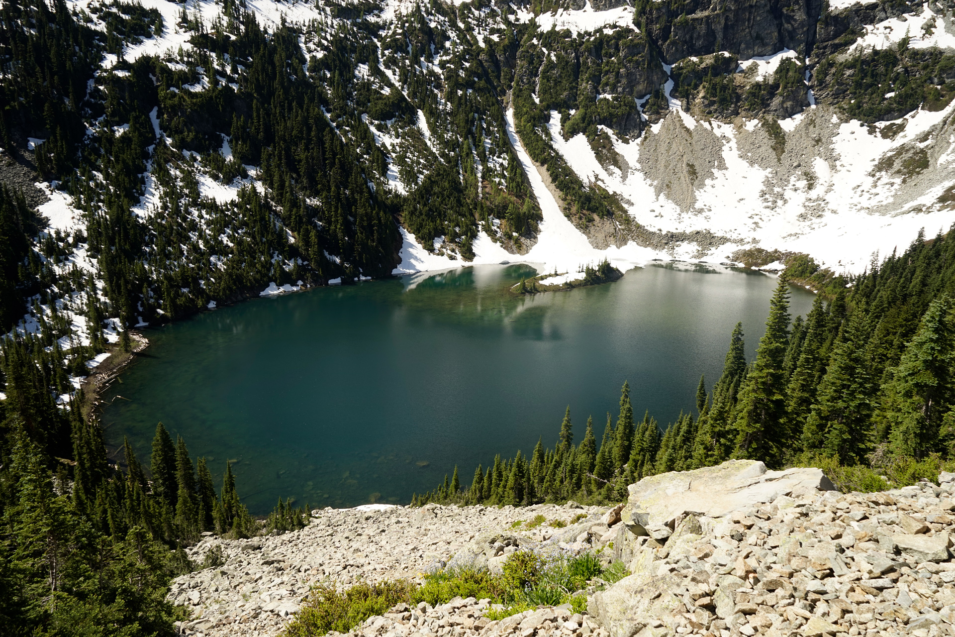
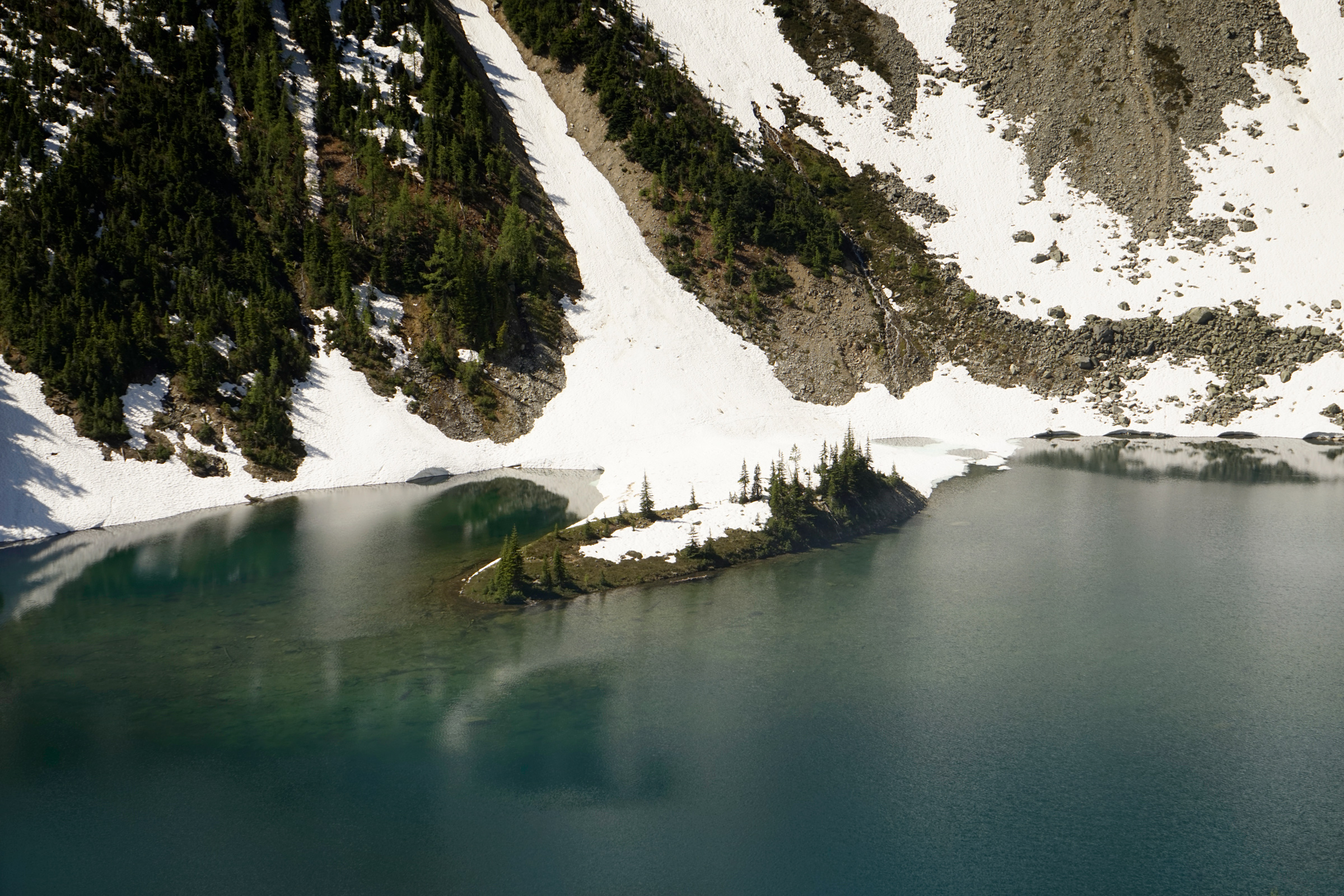
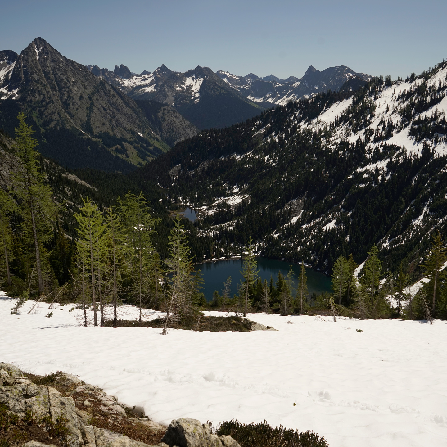
Ann Lake from the Heather Pass side of the hike
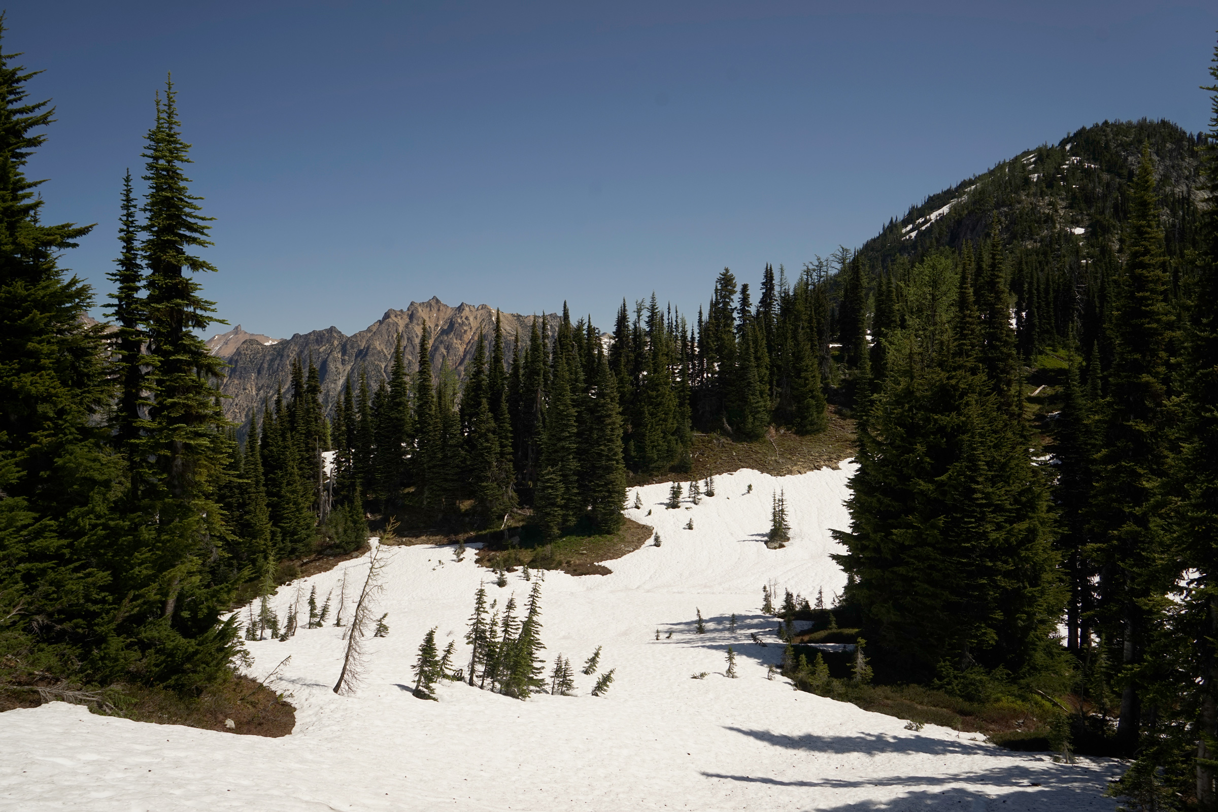
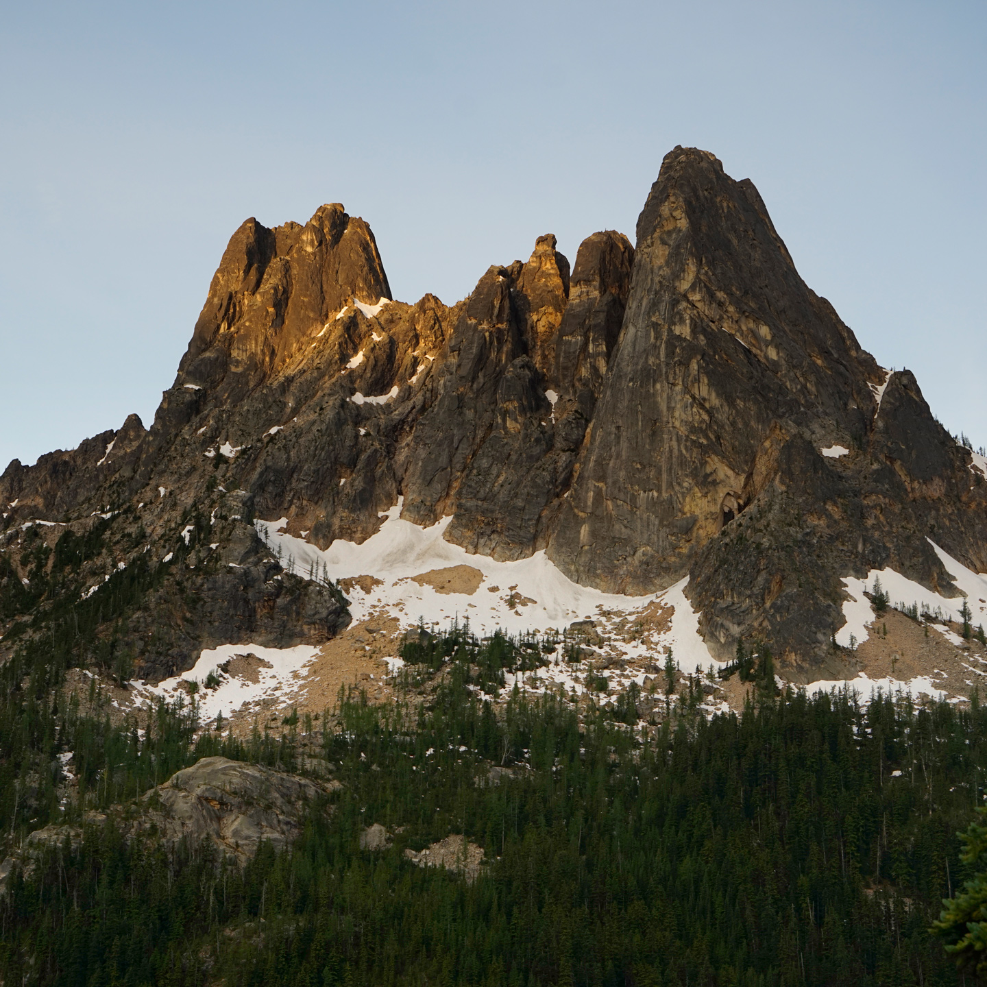
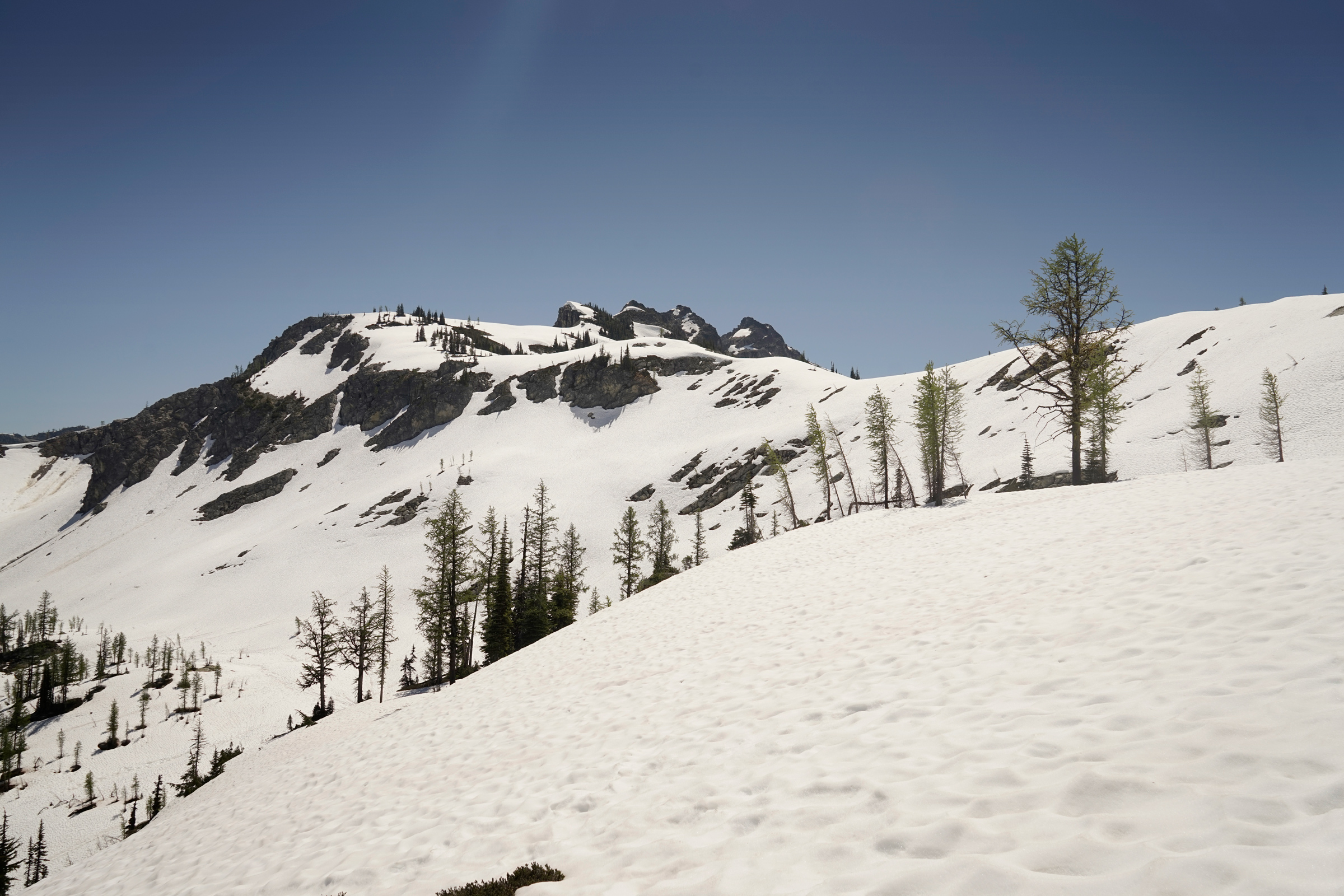
Approaching Heather Pass
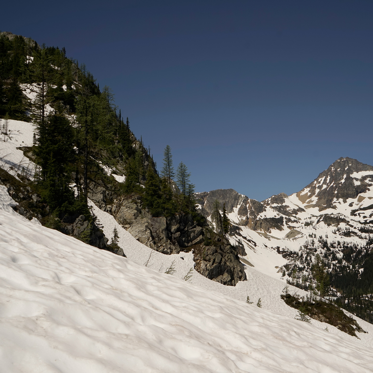
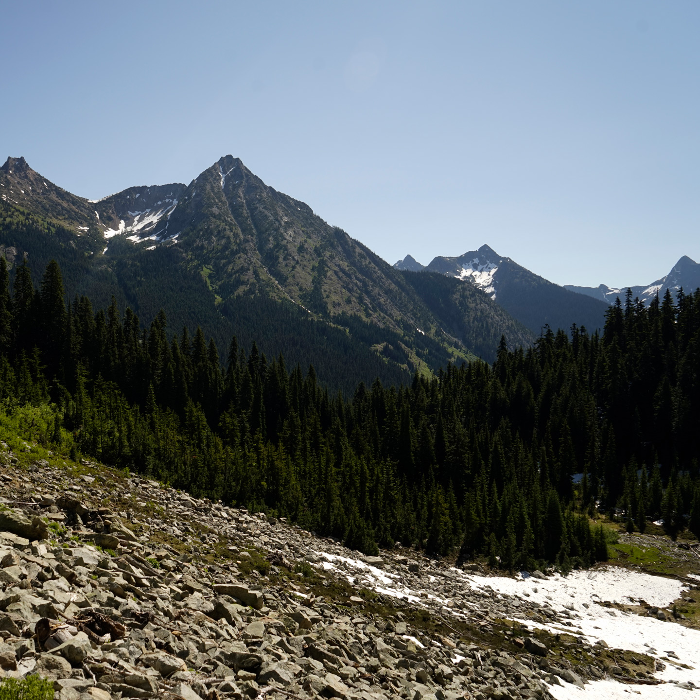
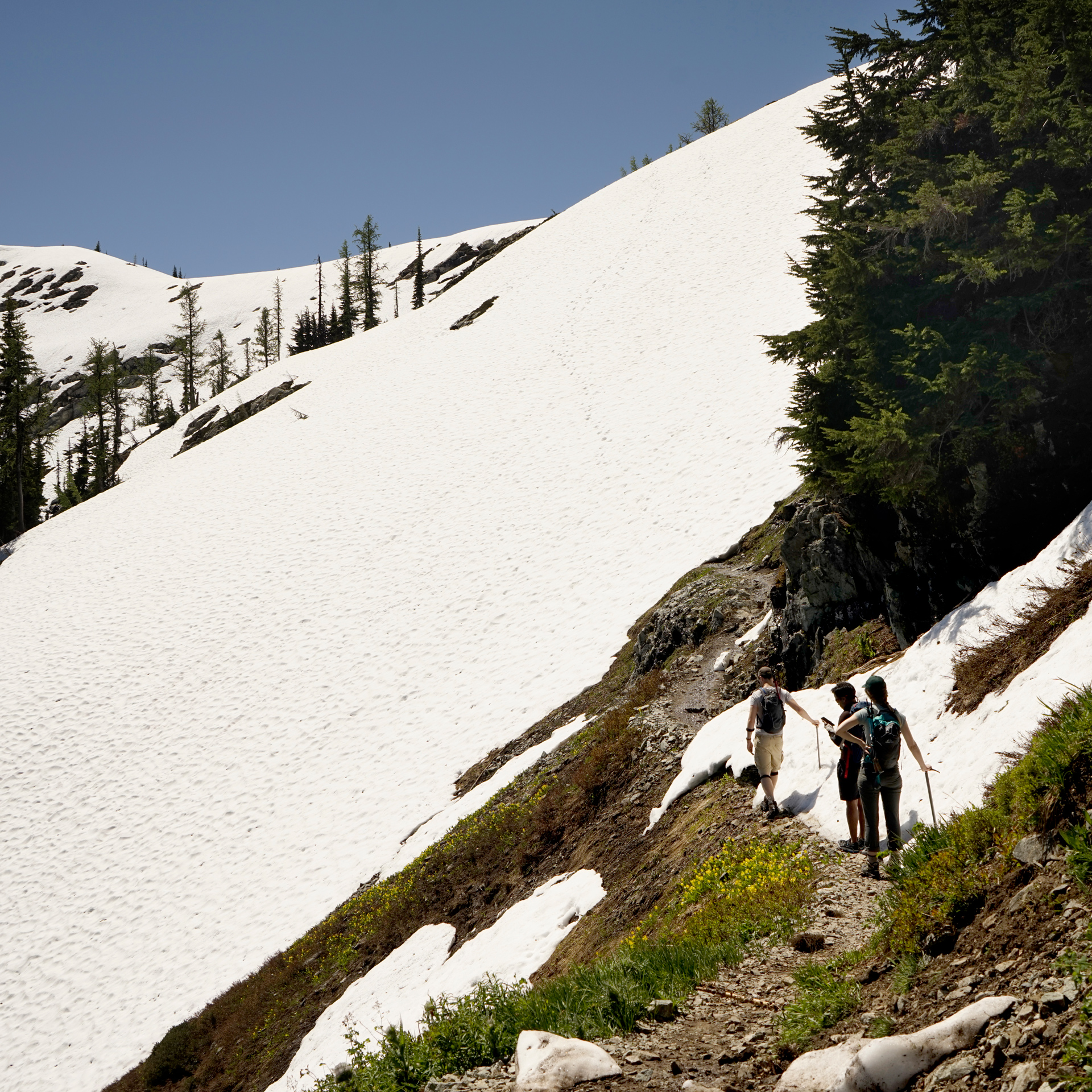
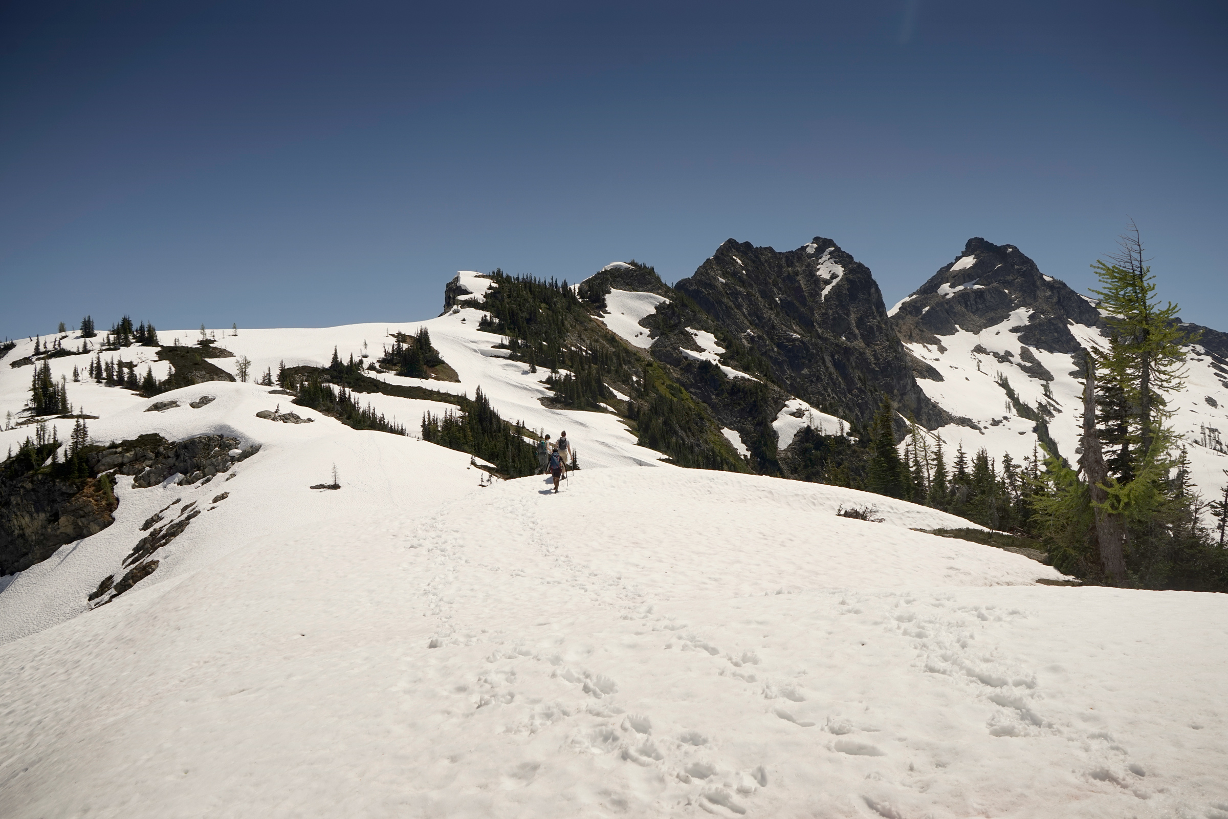
Heading toward Maple Pass from Heather Pass
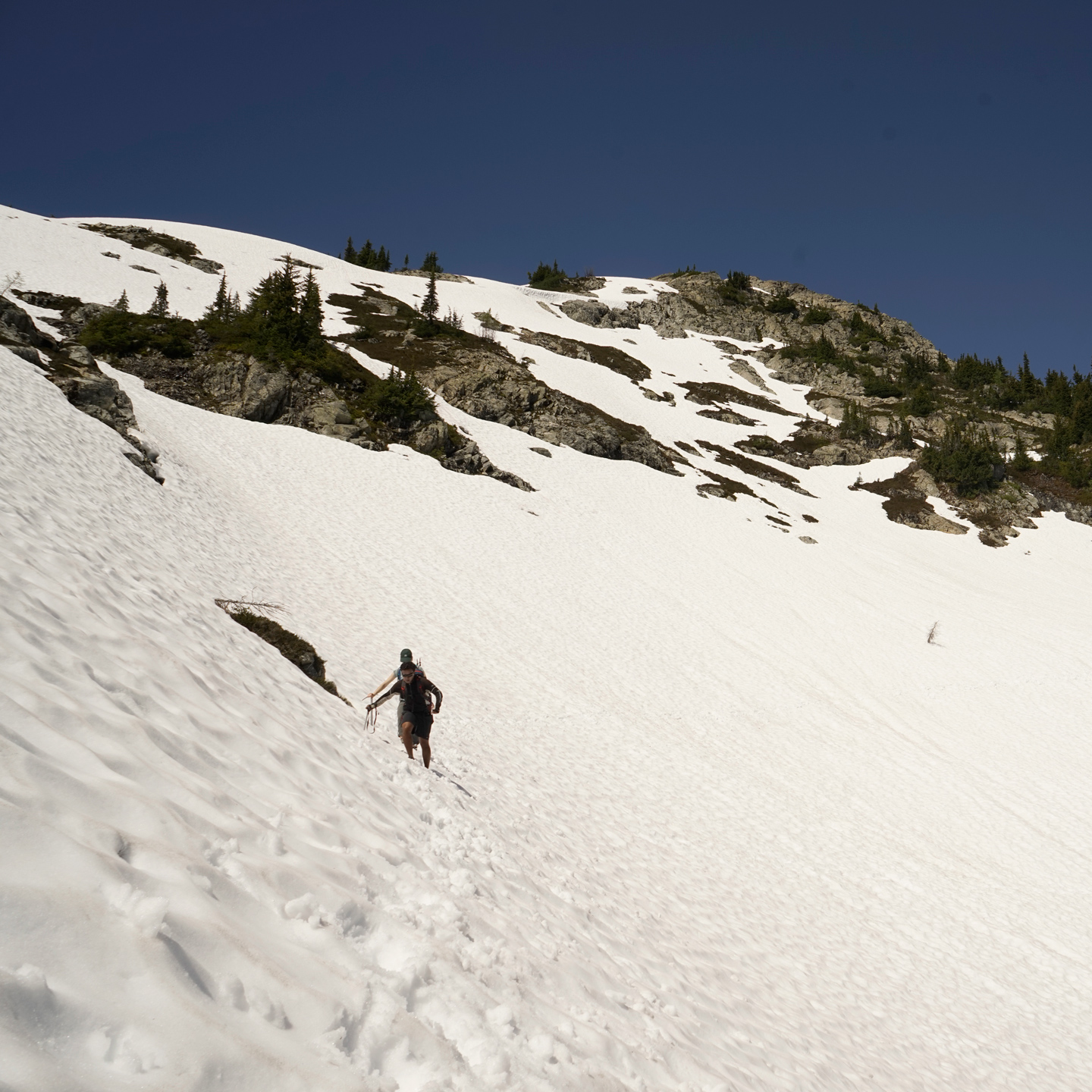
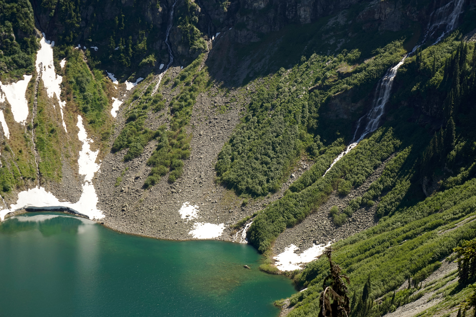
A steep snowfield between Heather Pass and Maple Pass
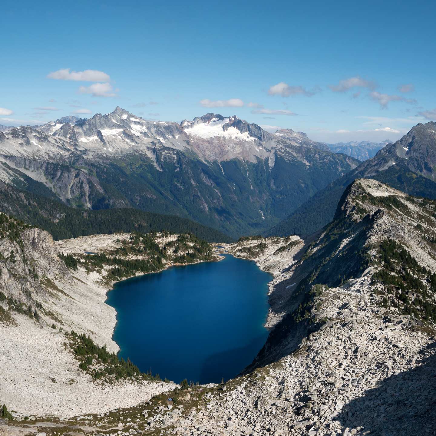
Looking east at Ann Lake
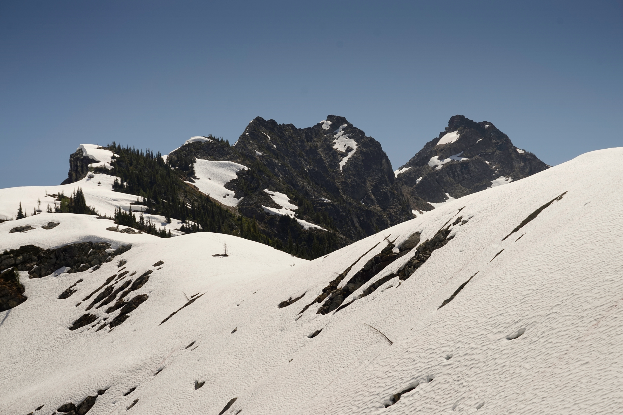
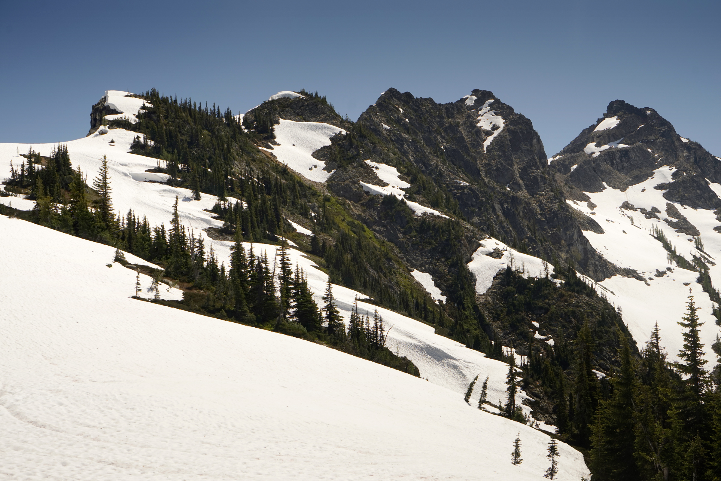
Maple Pass
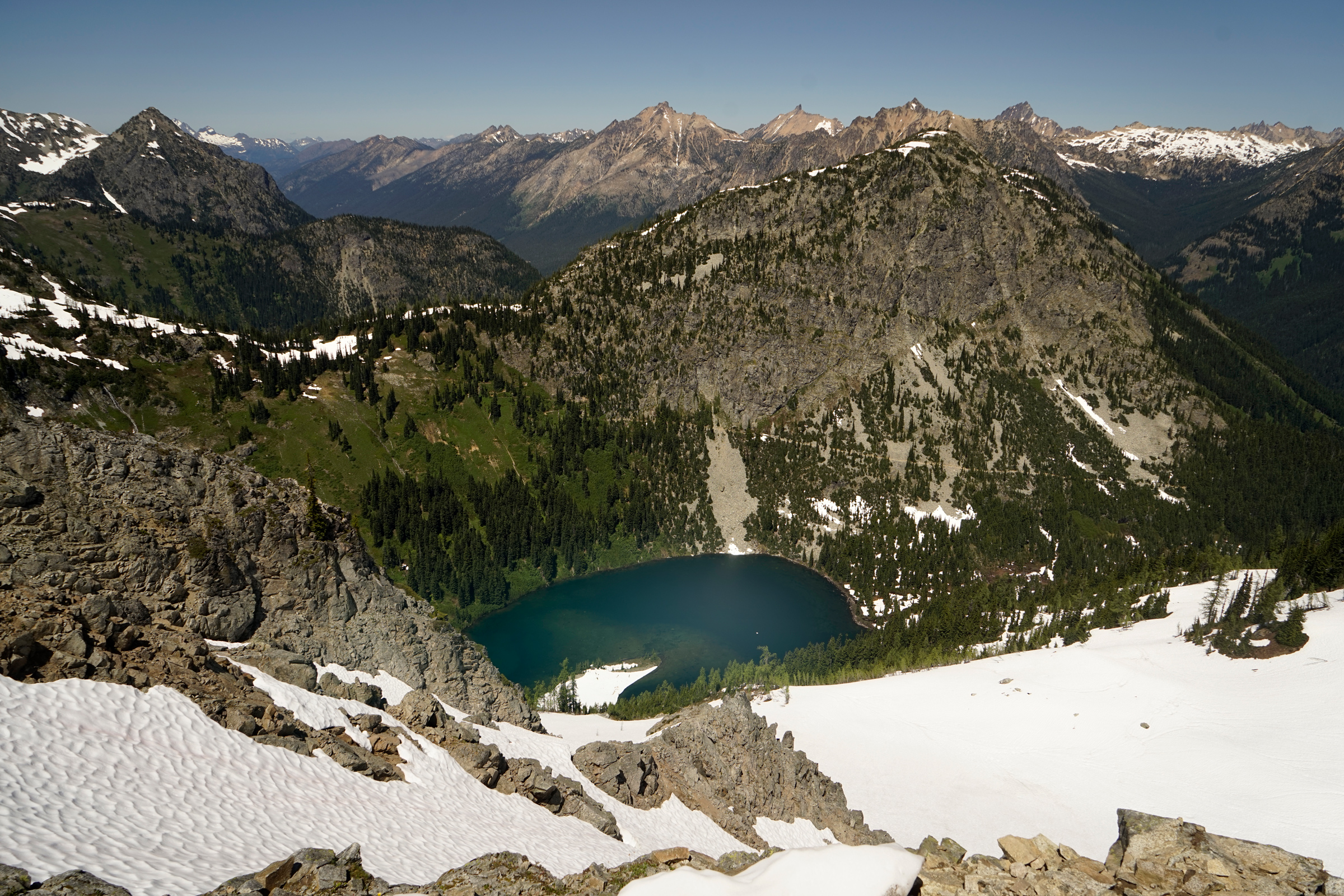
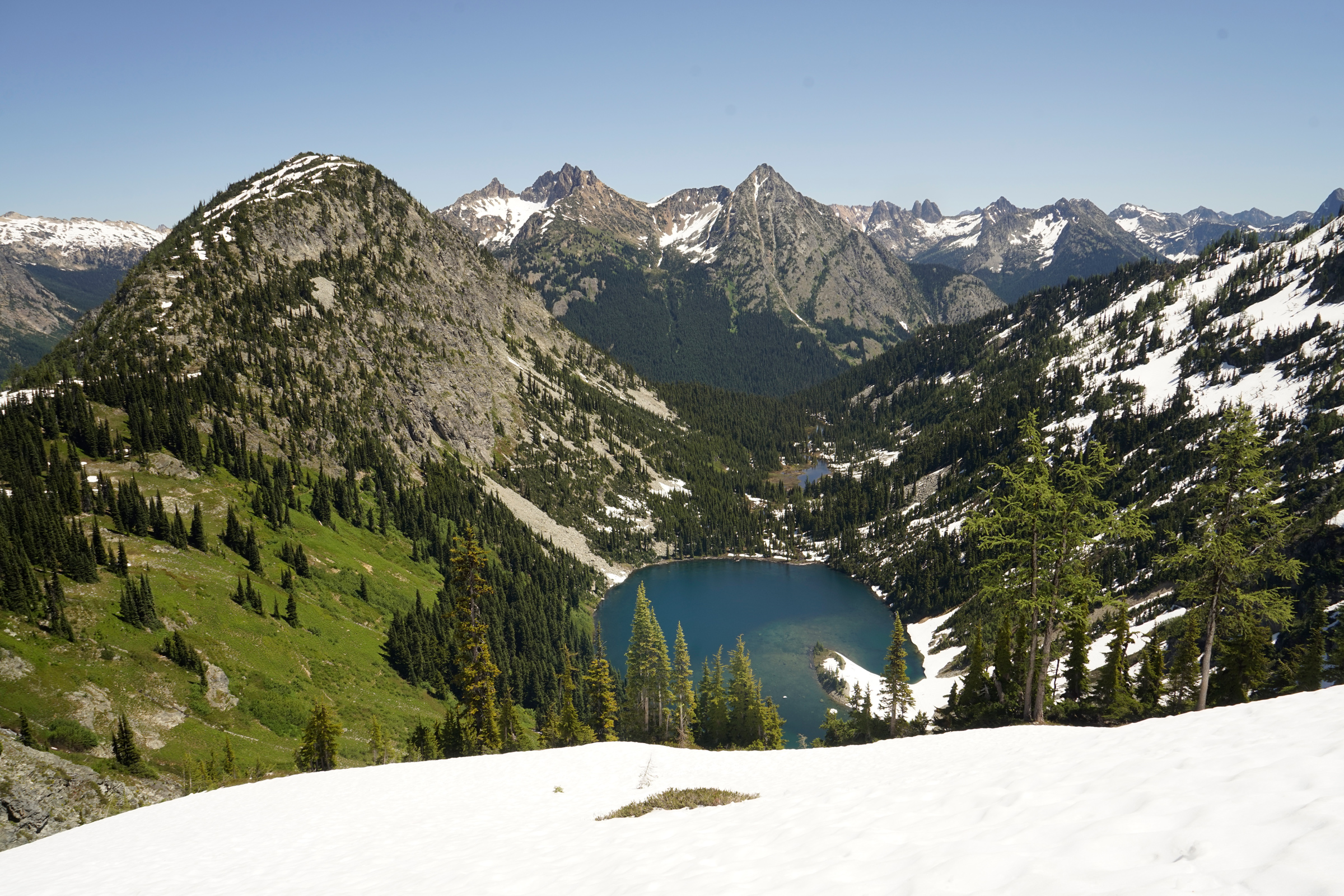
A view of Ann Lake heading down Maple Pass
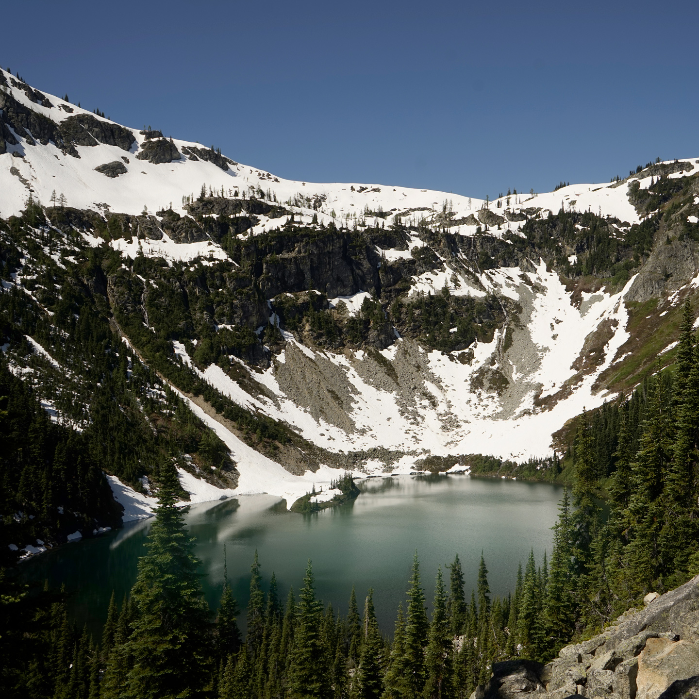
Rainy Lake
Directions
The Rainy Pass trailhead is located on the North Cascades Highway, 37 miles past Newhalem, Washington.
The outhouse is located in the parking area on the other side of Washington Highway 20.
1
Trailhead: 48.51513, -120.73580
2
Heather Pass: 48.50870, -120.76369
2
Maple Pass: 48.49951, -120.76122

More Stories