Washington · July 2017
Established in 1968, the North Cascades National Park is often called the “American Alps.”
It is a vast wilderness area that features more glaciers and snowfields than any other place in America outside of Alaska.
The North Cascades are much less visited than either Mount Rainier or the Olympic National Park, which means you can find quiet and calm here even on the busiest holidays of the year.
Despite the numbers, the scenery here is no less spectactular.
It is one of my favorite hiking destinations in the world, and what makes it more amazing is that the heart of the park can be reached within a 3 hour drive from Seattle.
If the approach and traffic makes sense, I prefer reaching the North Cascades from Washington State Highway 530, where you can get a view of Whitehorse Mountain just west of Darrington.
From there, you will be driving north along Highway 530 toward Rockport, then east along the North Cascades Highway (State Highway 20).
The best scenery unfolds as you get deeper into the park.
This guide covers some of the hikes and highlights along the way as you drive from west to east.
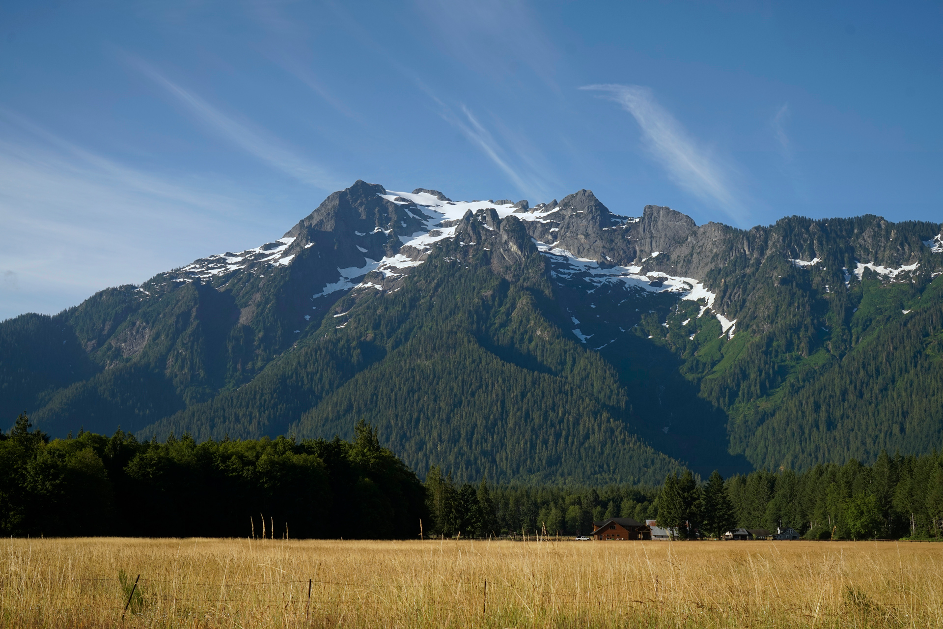
Whitehorse Mountain, near Darrington
Hiking to the Hidden Lake Fire Lookout
8 miles out and back, 3,316 feet vertical gain, 6,757 feet highest elevation
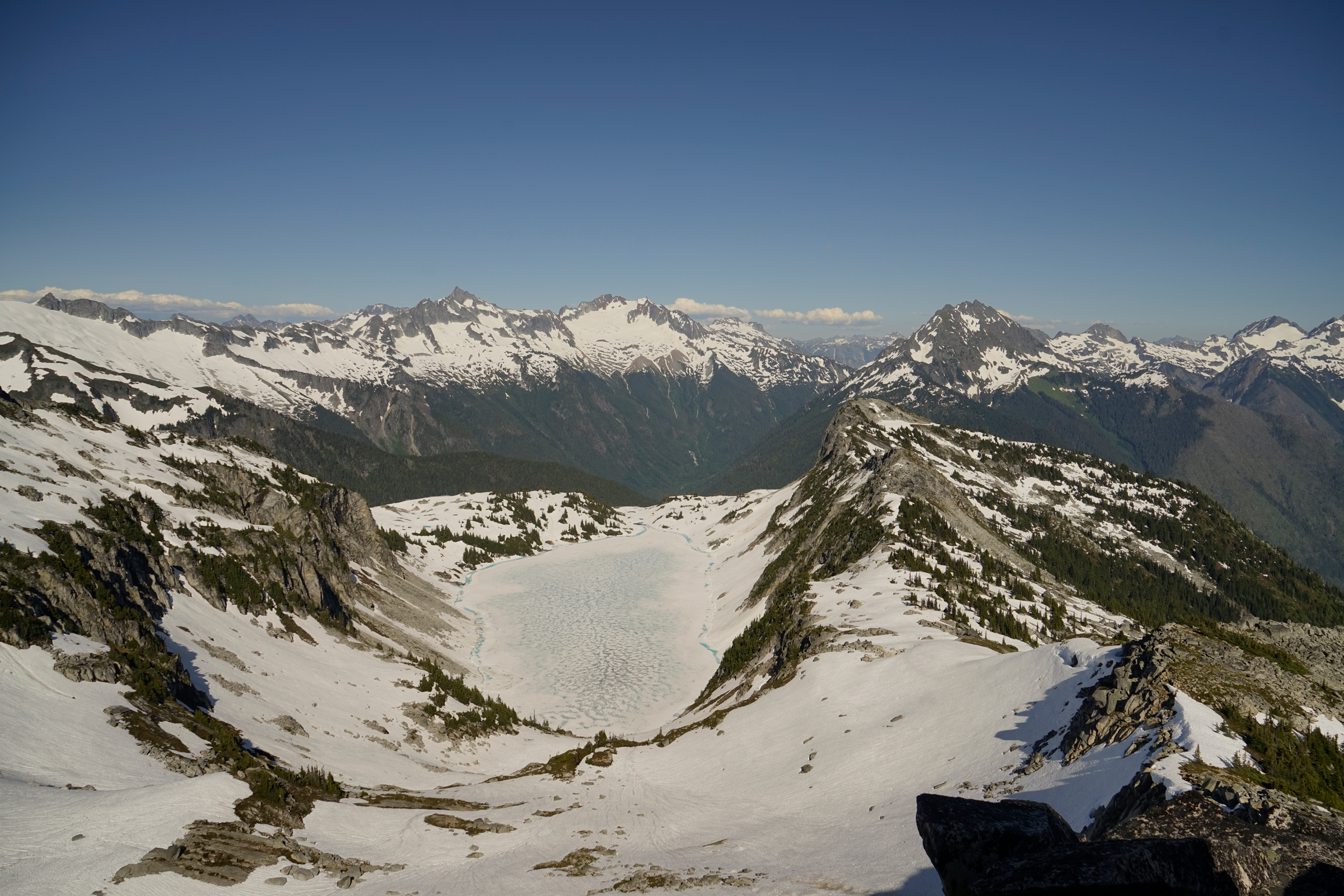
Hidden Lake from the fire lookout
The Hidden Lake trailhead is located 9.7 miles east of Marblemount off the Cascade River Road: 48.51411, -121.22193
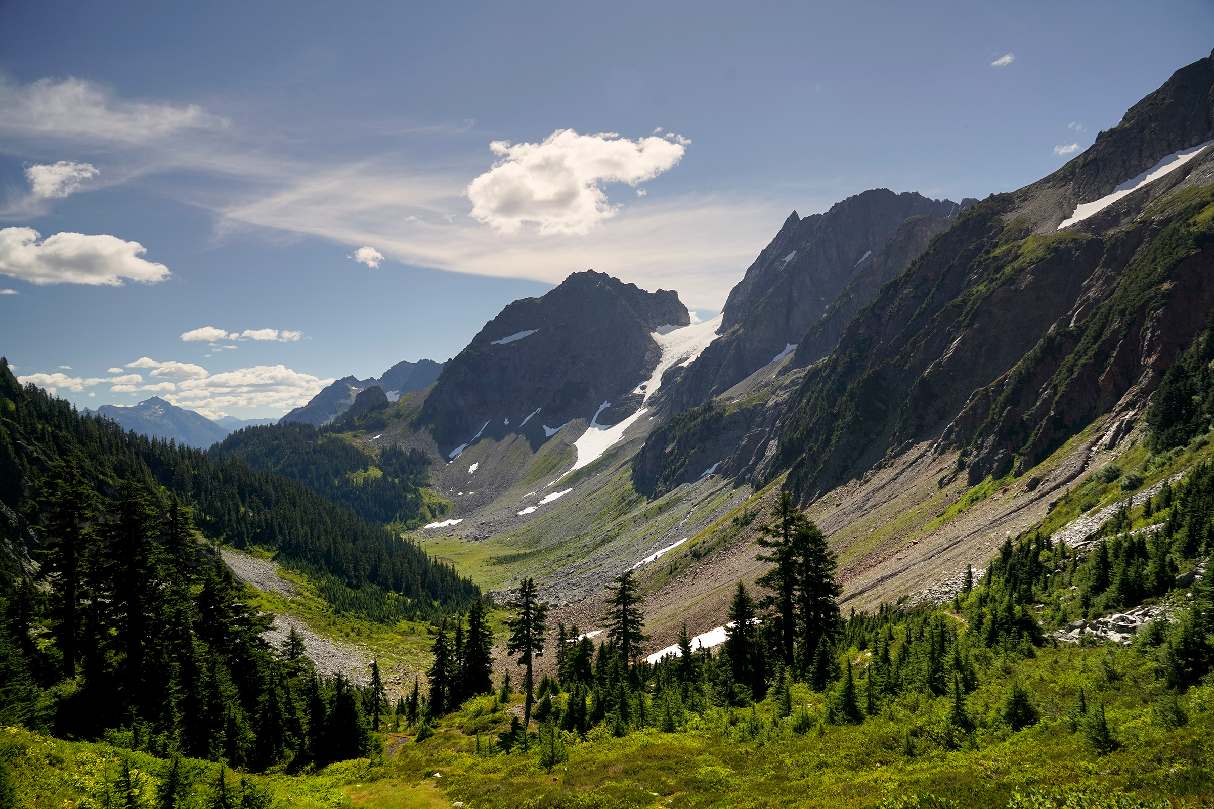
Hiking to Cascade Pass and Sahale Arm
12 miles out and back, 4,000 feet vertical gain, 7,570 feet highest elevation
Incredible views start at the very beginning of this hike, with Johannesburg Mountain rising 4,000 vertical feet in front of you at the parking area.
From there, every turn of the trail offers something new—you'll see plenty of sharp peaks, glaciers, and grassy meadows.
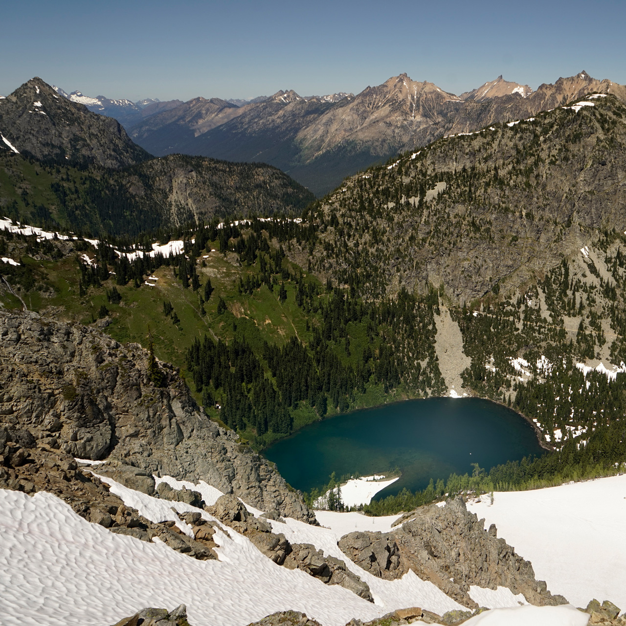
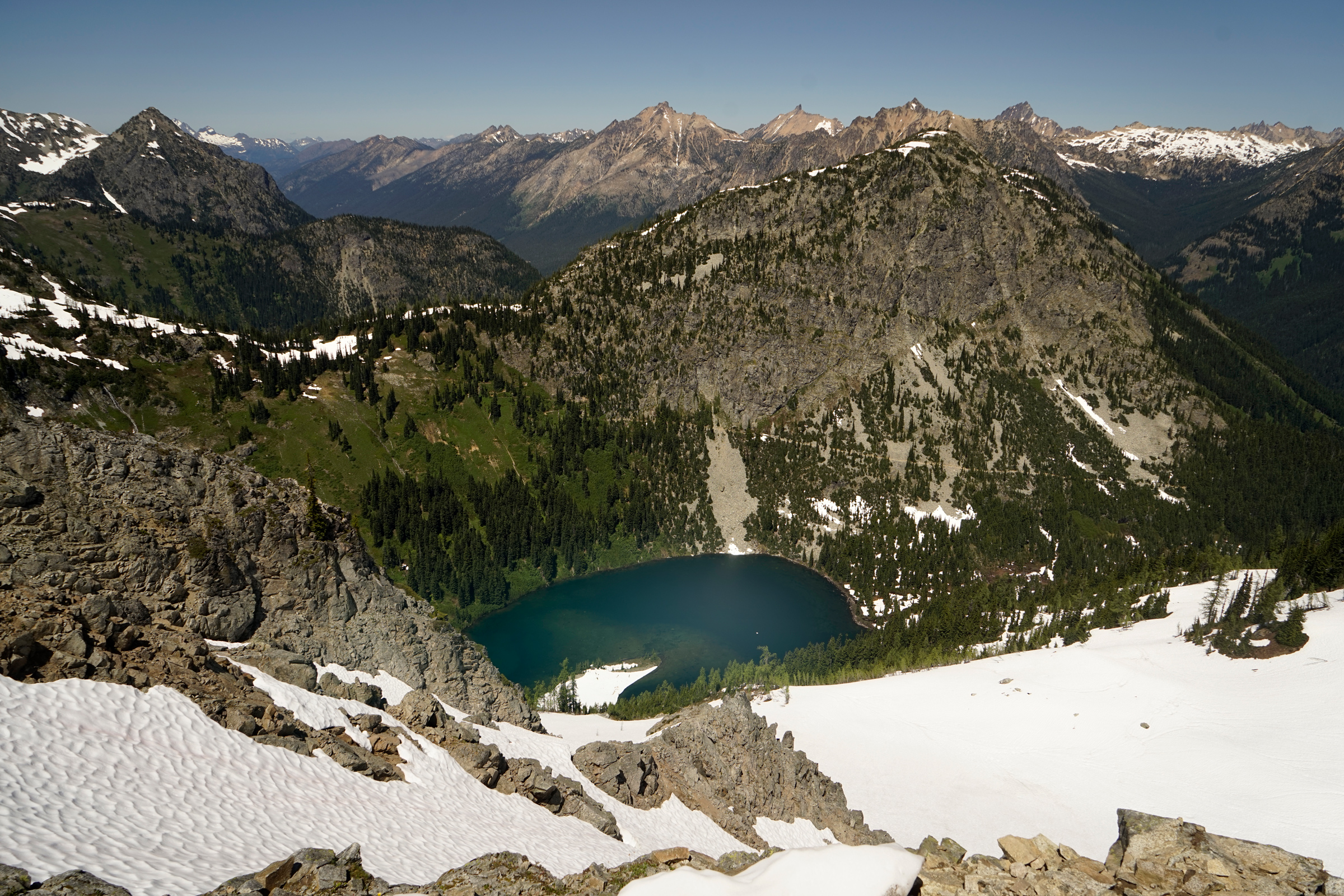
From the Sahale Arm, you'll have a view of blue-green Doubtful Lake, and from there, you can choose to continue hiking to the Sahale Glacier.
Cascade Pass
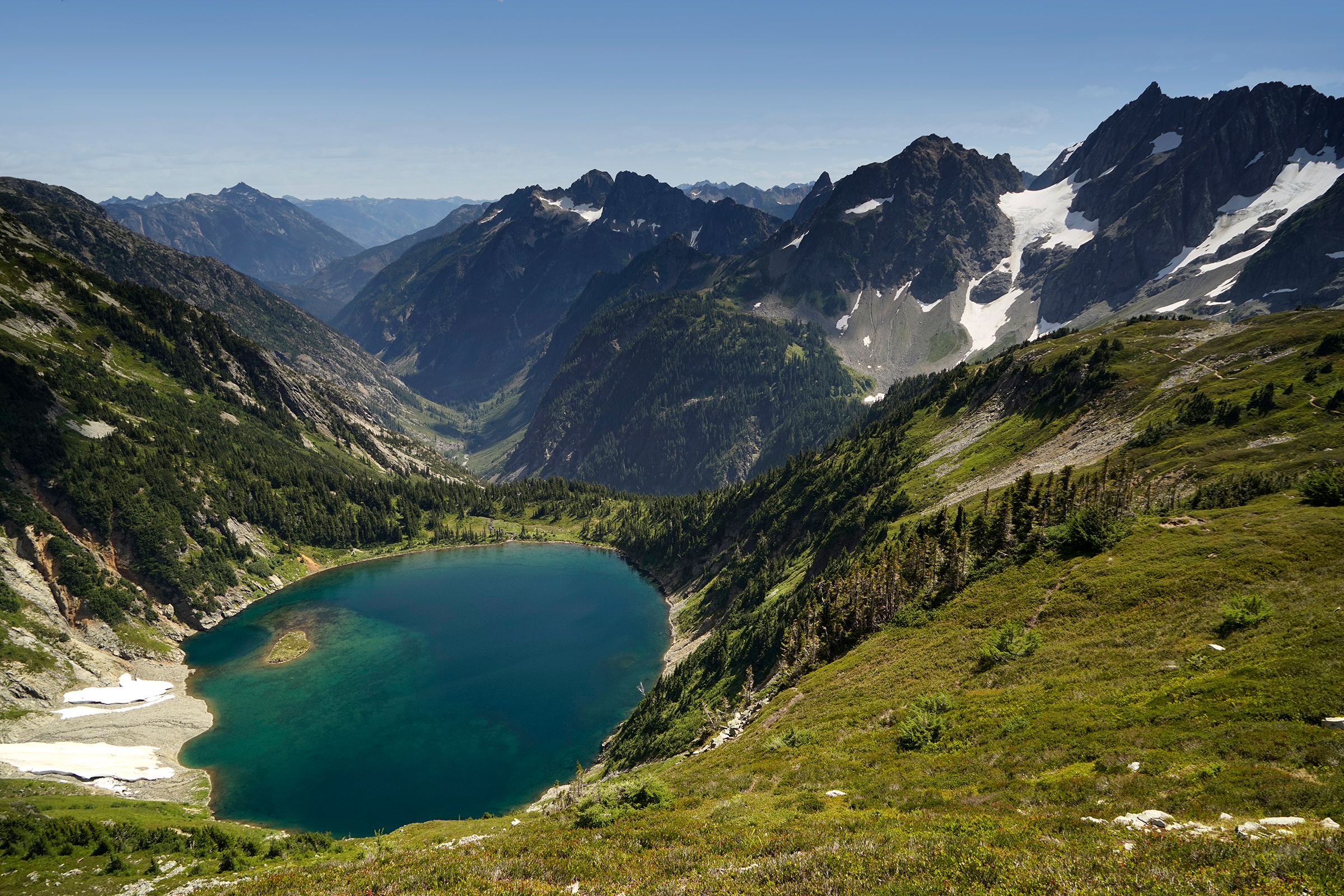
Doubtful Lake from Sahale Arm
The Cascade Pass trailhead is located at the end of the Cascade River Road, about 23 miles east of Marblemount: 48.475501, -121.075149
Diablo Lake and Ross Lake
When I moved to Seattle in 2004, I remember seeing Diablo Lake for the first time and how it blew my mind.
It was probably the first time I had seen a natural lake of this saturated color.
Although there are hikes starting at the base of the lake, you can get a great view by simply driving to the high viewpoint east of Diablo, before you get to Ross Lake.
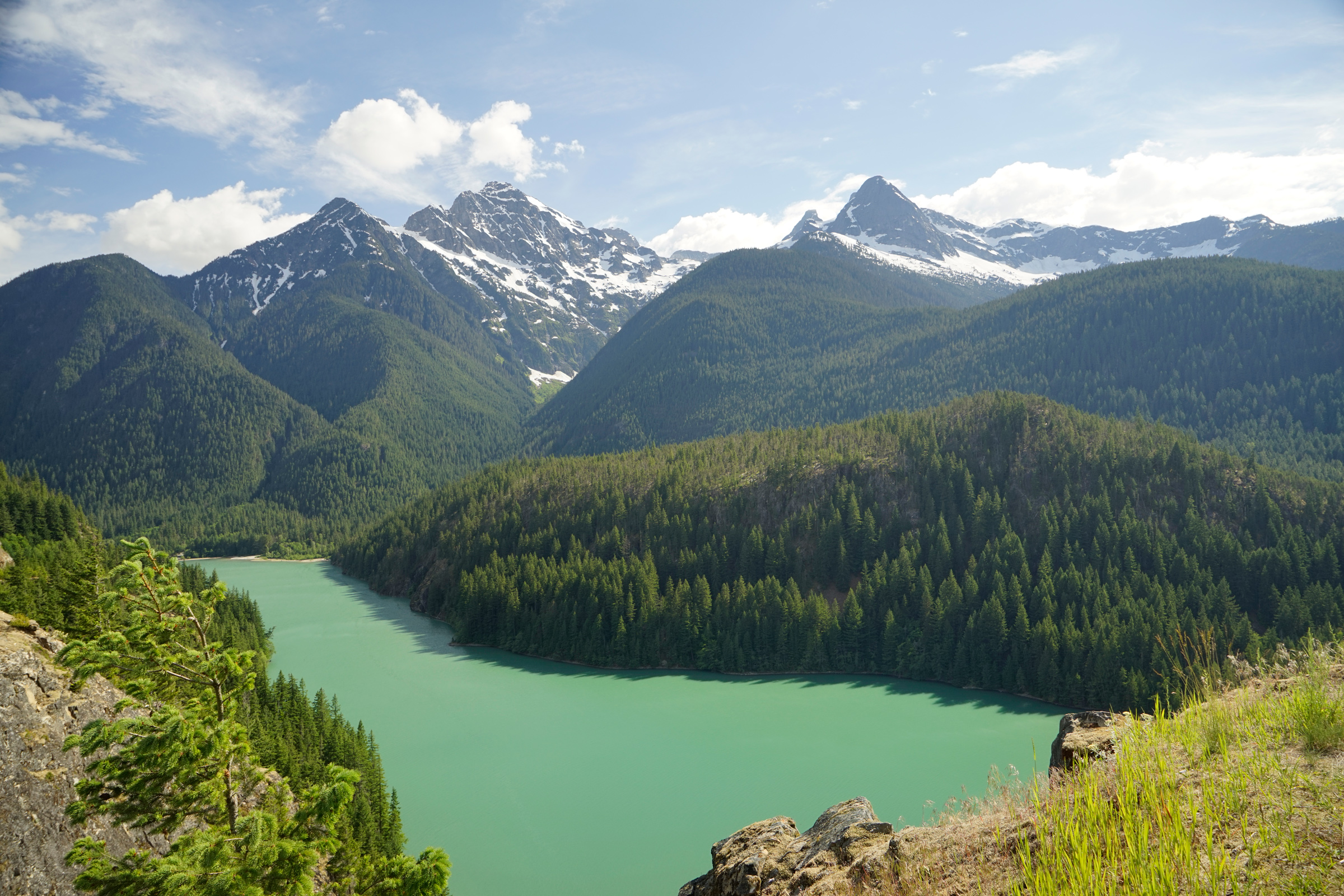
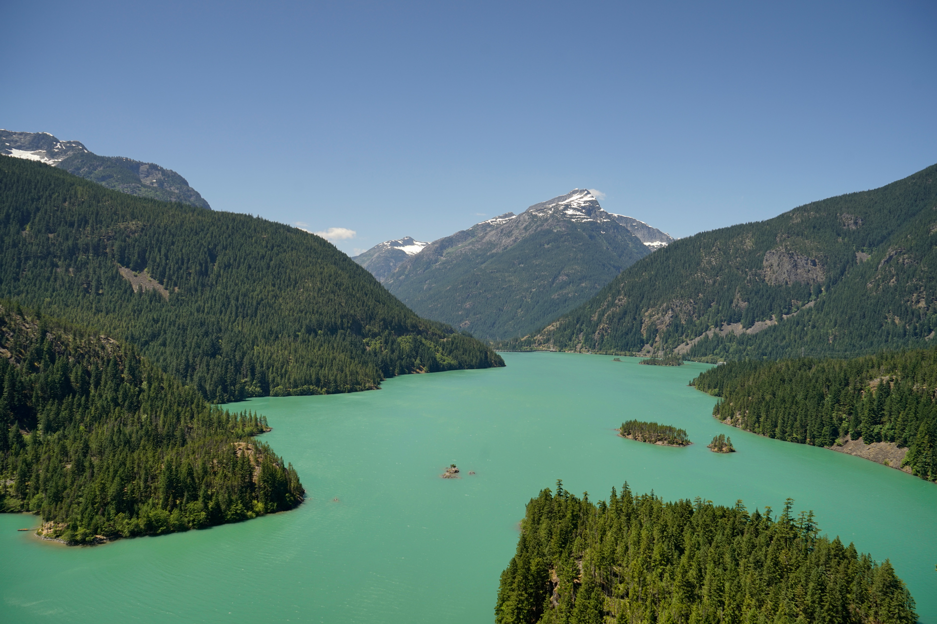
Diablo Lake Overlook: 48.710023, -121.096592
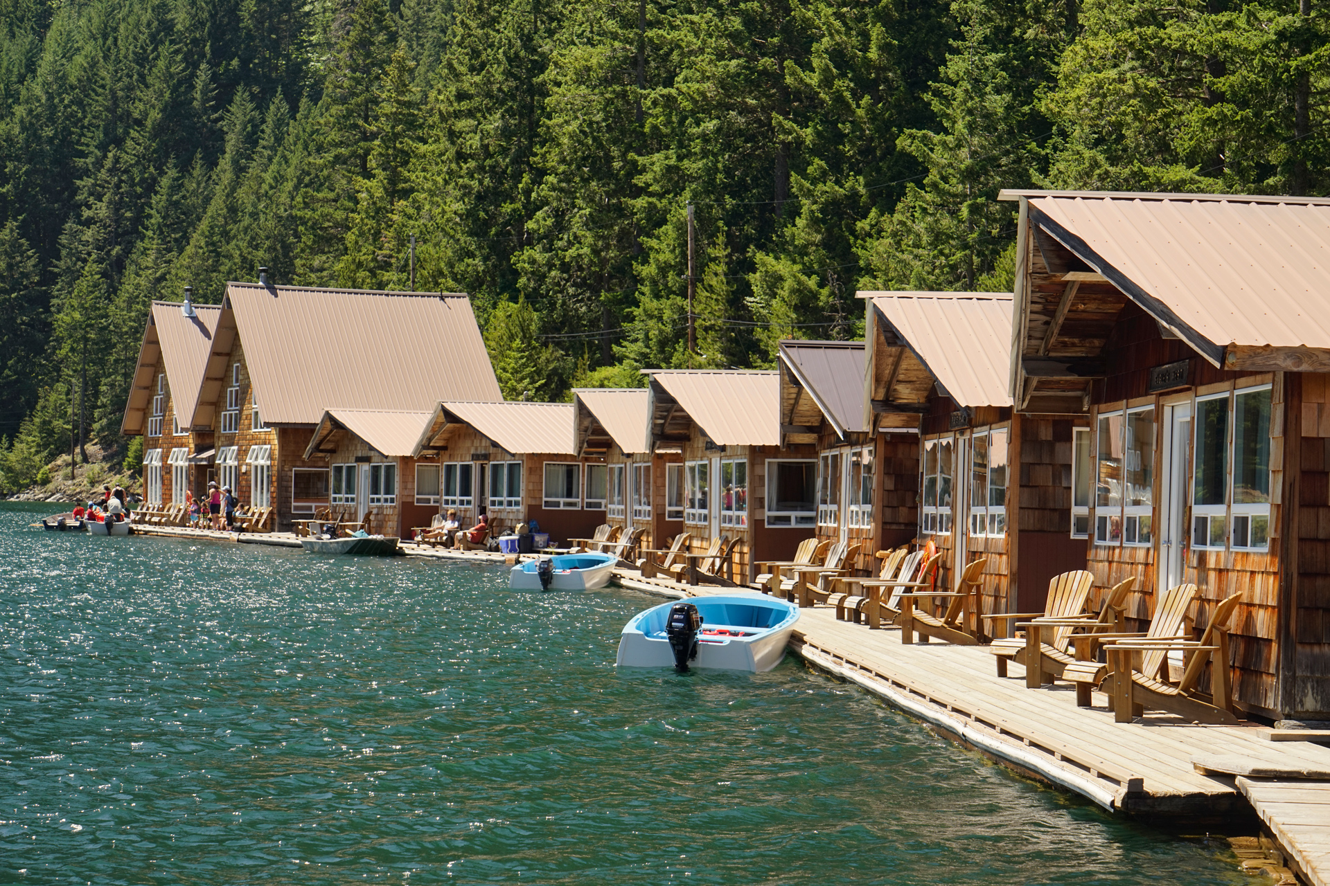
Ross Lake is a recreational area that features floating cabins that you can access by a combination of hiking and boating.
The Ross Lake Resort rents powered boats and kayaks for deeper exploration of the lake, and there are small islands and beach areas where you can set up camp.


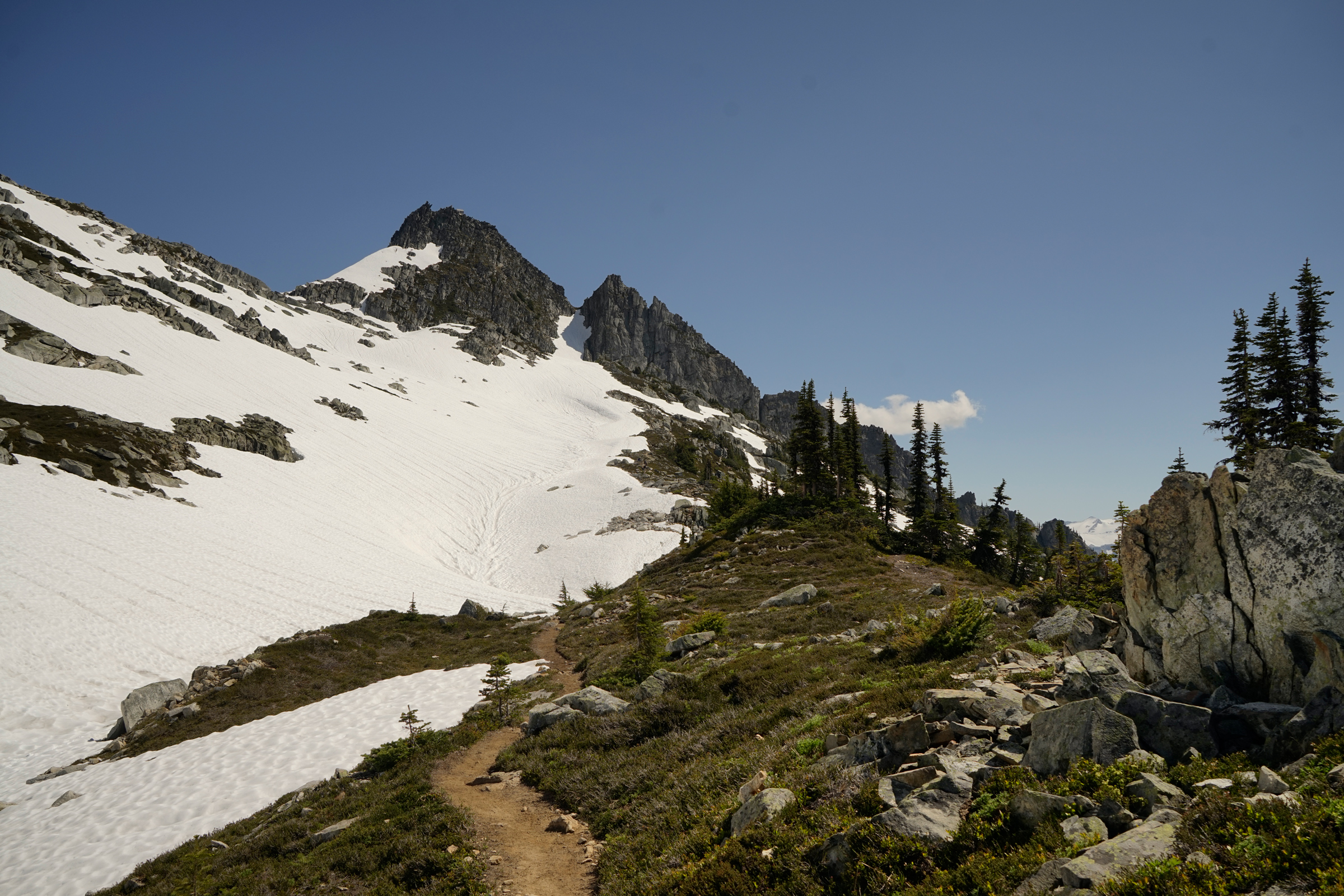
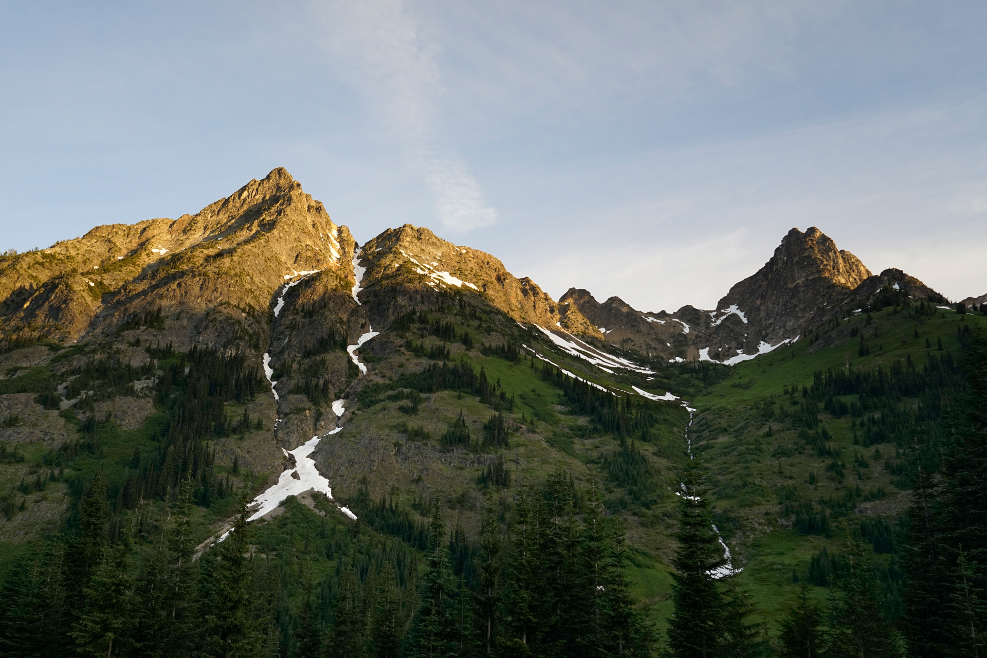
Hiking the Heather-Maple Pass Loop
7 miles loop, 2,025 feet vertical gain, 6,924 feet highest elevation
The Heather-Maple Pass Loop is a classic North Cascades hike.
As a loop, it can be completed going in either direction in the late summer, when there isn't much snow on the Maple Pass side.
However, in the late spring or early summer, it is best done counter-clockwise from the Heather Pass side toward Maple Pass.
Snow tends to hold onto the Maple Pass side, and it is much more dangerous heading north down the steep slope between Maple Pass and Heather Pass.
This section is especially avalanche-prone in the early-to-mid summer, when the snow becomes less stable.
Microspikes and an ice axe may be necessary here.
I would recommend reading the trail reports before going here.
Ann Lake from the Maple Pass side of the loop
The Rainy Pass trailhead is located just west of Washington Pass: 48.51513, -120.73580
Hiking Blue Lake
5 miles out and back, 1,100 feet vertical gain, 6,254 feet highest elevation
Blue Lake is a great choice if you are short on time but looking for a nice alpine lake destination set against a dramastic mountain cirque.
Its trailhead is located directly adjacent to the North Cascades highway, and a roundtrip hike requires only 5 miles of walking and 1,100 feet of elevation gain.
In the fall, it is a popular trail for seeing the yellow larches.

The Blue Lake trailhead is located just west of Washington Pass: 48.51896, -120.67437
Washington Pass
Elevation 5,476 feet
Washington Pass is at the eastern boundary of the North Cascades National Park.
A visitor center is located here, and the adjacent observation point is a great spot to check out Liberty Bell Mountain.
The Methow Valley, from Mazama to Winthrop, stretches to the east of Washington Pass.


The Methow Valley
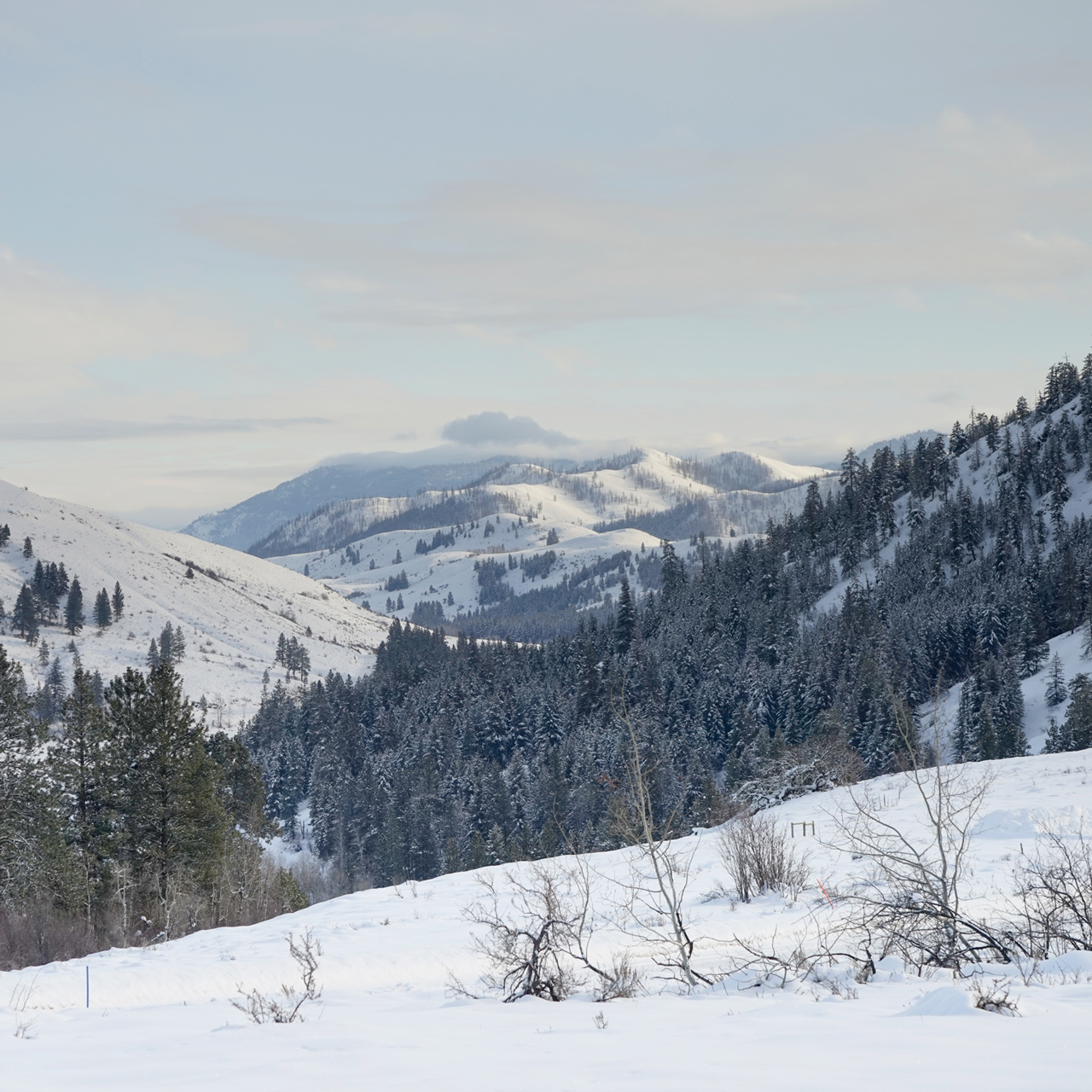
With over 120 miles of groomed runs, the Methow Valley has the largest cross-country ski trail system in North America.
There are three distinct clusters of trails—Sun Mountain, Rendevous, and Mazama—connected by the Community Trail with ski huts you can reserve along the way.
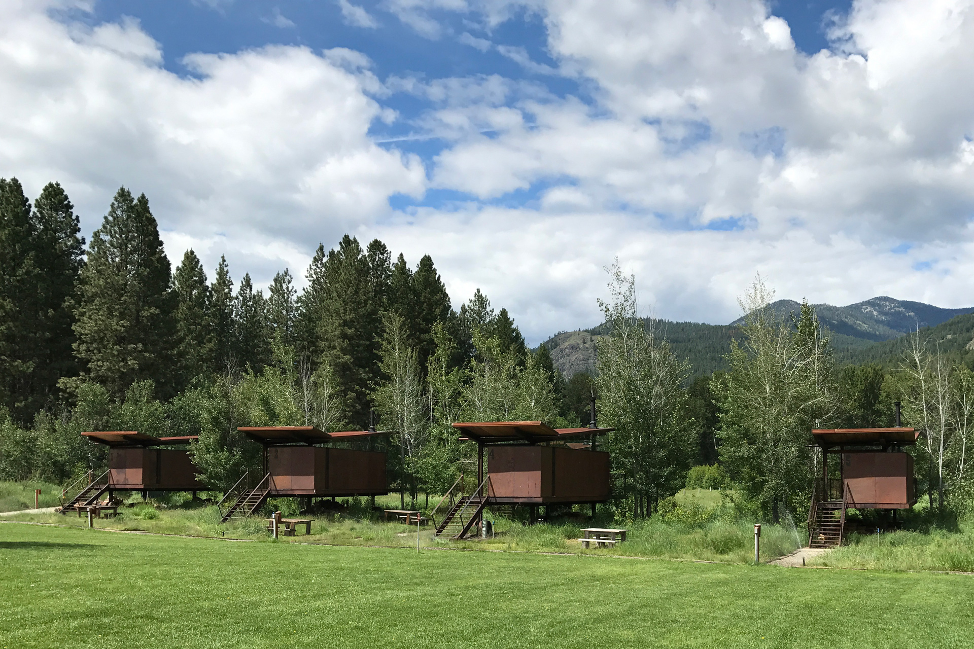
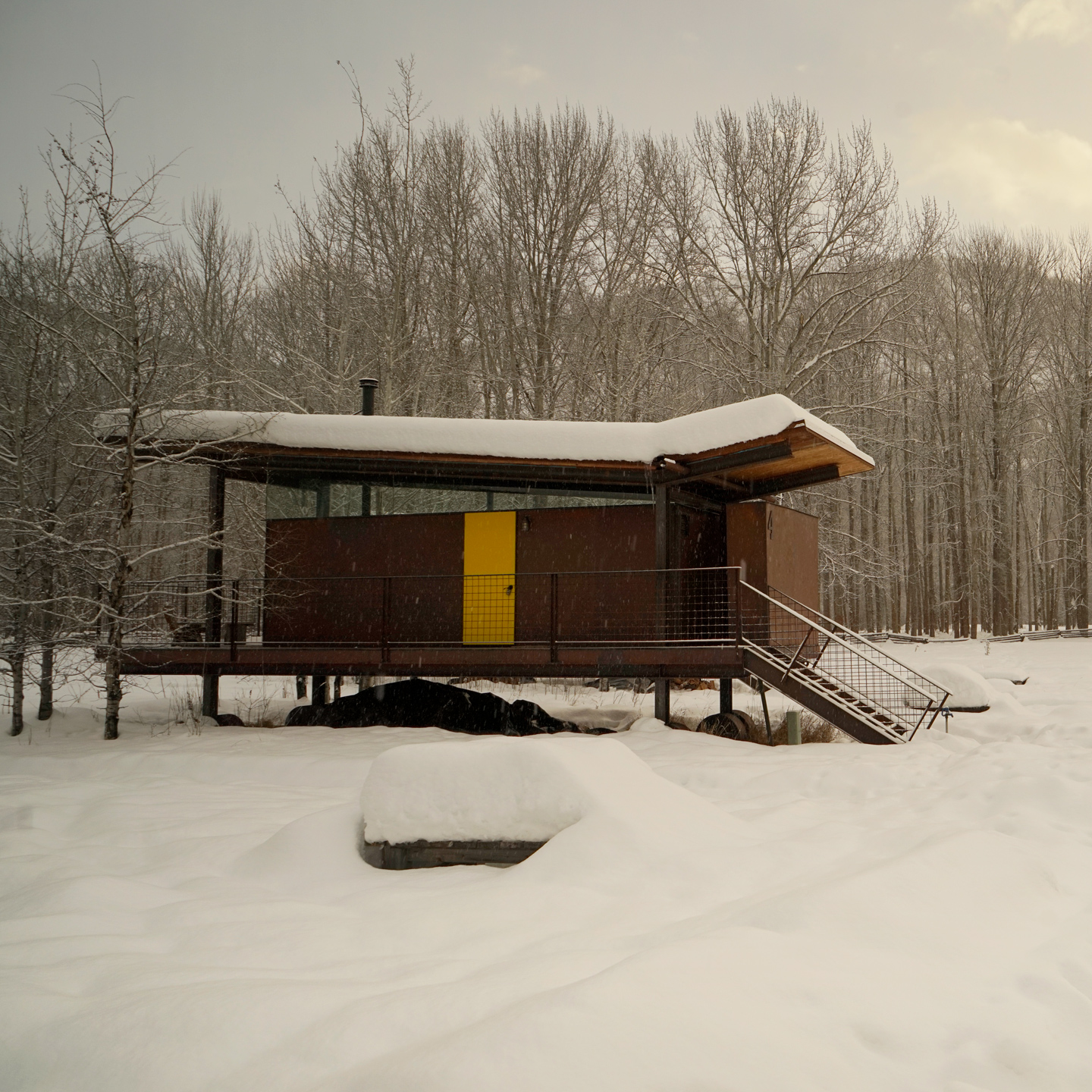
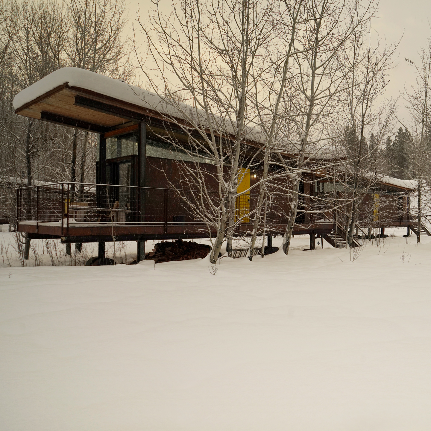
This is an area known for some beautiful modern residential architecture by Olsen Kundig, David Coleman, Prentiss-Balance-Wickline, and others.

River Run Ski Trail: 48.597330, -120.448882
Directions
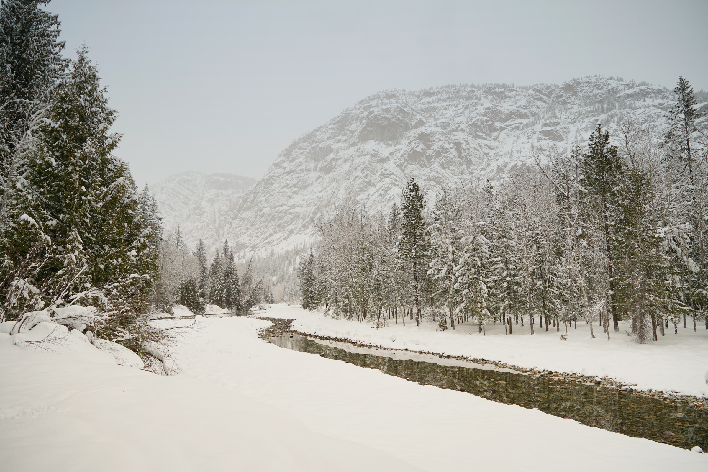
The North Cascades National Park is in northern Washington State. Much of the park is accessible from Washington Highway 20. The stretch of highway between Diablo and Mazama are closed in the winter months.
1
Hidden Lake Trailhead: 48.51411, -121.22193
2
Cascade Pass Trailhead: 48.475501, -121.075149
3
Diablo Lake Overlook: 48.710023, -121.096592
4
Rainy Pass Trailhead: 48.51513, -120.73580
5
Blue Lake Trailhead: 48.51896, -120.67437
6
Washington Pass: 48.526542, -120.650100

More Stories